
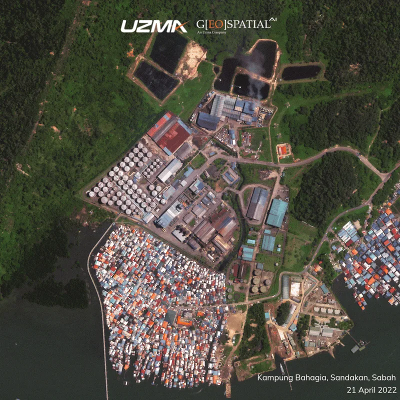
The devastating fire that struck Kampung Bahagia, Sandakan, Sabah on 19 April 2026 left a significant impact on the local community, with hundreds of homes affected and extensive damage across the settlement.
Captured four days after the incident, this 50 cm resolution satellite image acquired on 23 April 2026 provides a detailed view of the affected area and demonstrates how high-resolution Earth observation data can support post-disaster assessment. It enables the identification of damaged structures, delineation of affected zones, and assessment of the overall extent of destruction with remarkable clarity.
Beyond immediate response, this data supports recovery planning by helping authorities prioritize aid distribution, evaluate infrastructure loss, and monitor rebuilding progress over time. It also enables improved risk analysis for future incidents, particularly in densely built or fire-prone settlements.
Satellite imagery transforms how we observe disasters—not just from above, but as actionable intelligence that supports decisions on the ground.
For further info, contact us at geospatial.ai@uzmagroup.com.
Originally shared on Geospatial AI on LinkedIn.