

Uzma Geospatial AI
Sovereign Space
Intelligence
Transforming satellite data into actionable intelligence to empower smarter decisions across Malaysia’s strategic sectors.
Geo analytics
Pixels in.
Decisions out.
Every image is measured: slopes classed, landing zones ranked, routes planned, structures traced. Shown here: TAMING terrain analysis over Bekok, Johor. Six analytics solutions, one platform: Uzma Digital Earth.
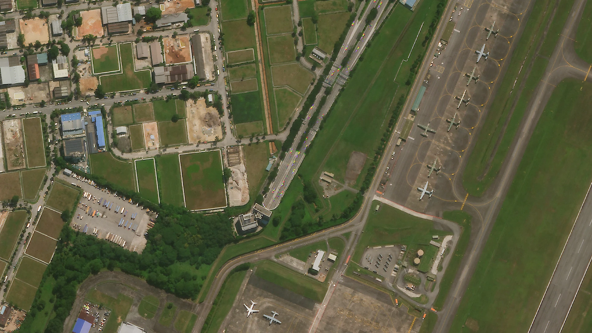
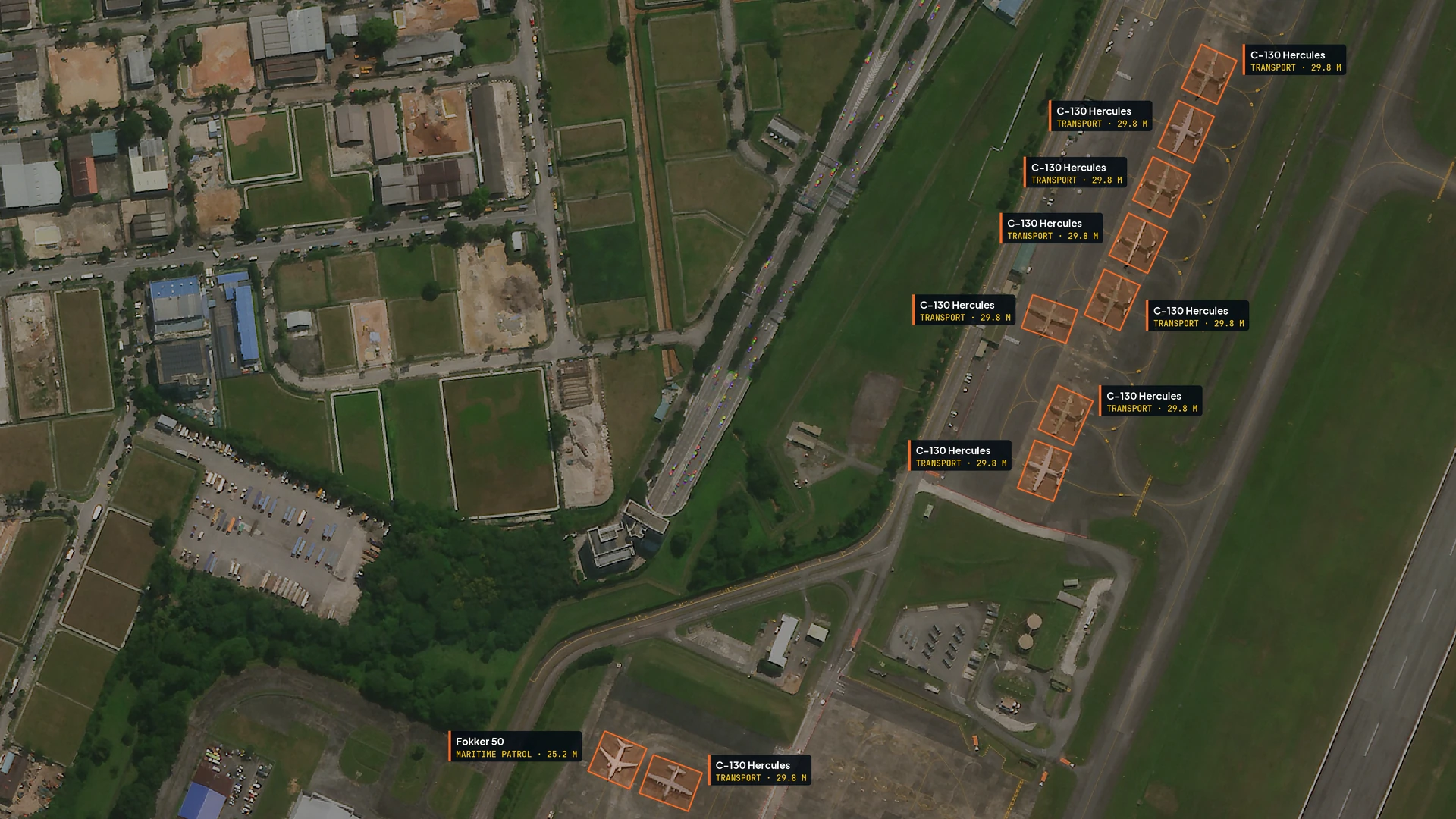
UzmaSATRIA · Aircraft detection
Drag to see what the AI sees.
Every aircraft on the apron found, outlined and identified by type, straight from very high resolution imagery. Slide across the same airfield, before and after.
UzmaSATRIA
Defence-grade
GEOINT.
Satellite communications, real-time geospatial intelligence and AI-driven analytics in one platform, across maritime, land and air.
Services
From orbit
to answer.
Satellite imagery, mapping and analytics, AI platforms, and training for the team who will use them.

Our clients
Trusted by industry and government.








Partners














Contact
Let’s see it
together.
Bring your question, your location or your next big idea. We will show you what the data can do.