
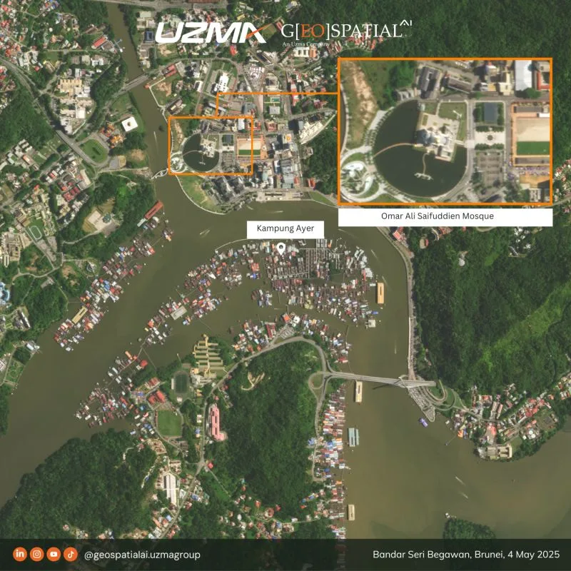
From Kampong Ayer to Omar Ali Saifuddien Mosque, this satellite view of Bandar Seri Begawan, Brunei shows how unique the landscape is—where land, water, and community are closely connected.
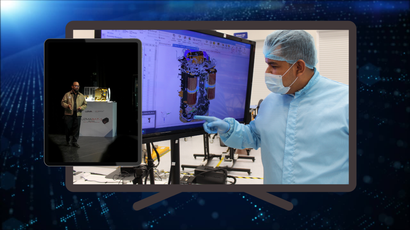
With UzmaSAT-1, we can clearly observe settlement patterns over water, monitor changes along the Brunei River, and understand how urban areas are developing over time.
Satellite imagery helps provide a clearer picture for planning, monitoring, and making better decisions on the ground.
For further info, contact us at geospatial.ai@uzmagroup.com.
Originally shared on Geospatial AI on LinkedIn.