

Solutions · UzmaSATRIA
Defence-grade GEOINT
Satellite communications, real-time geospatial intelligence and AI-driven analytics brought together for maritime, land and air domains.
01 · Aircraft detection
Every aircraft, found and named.
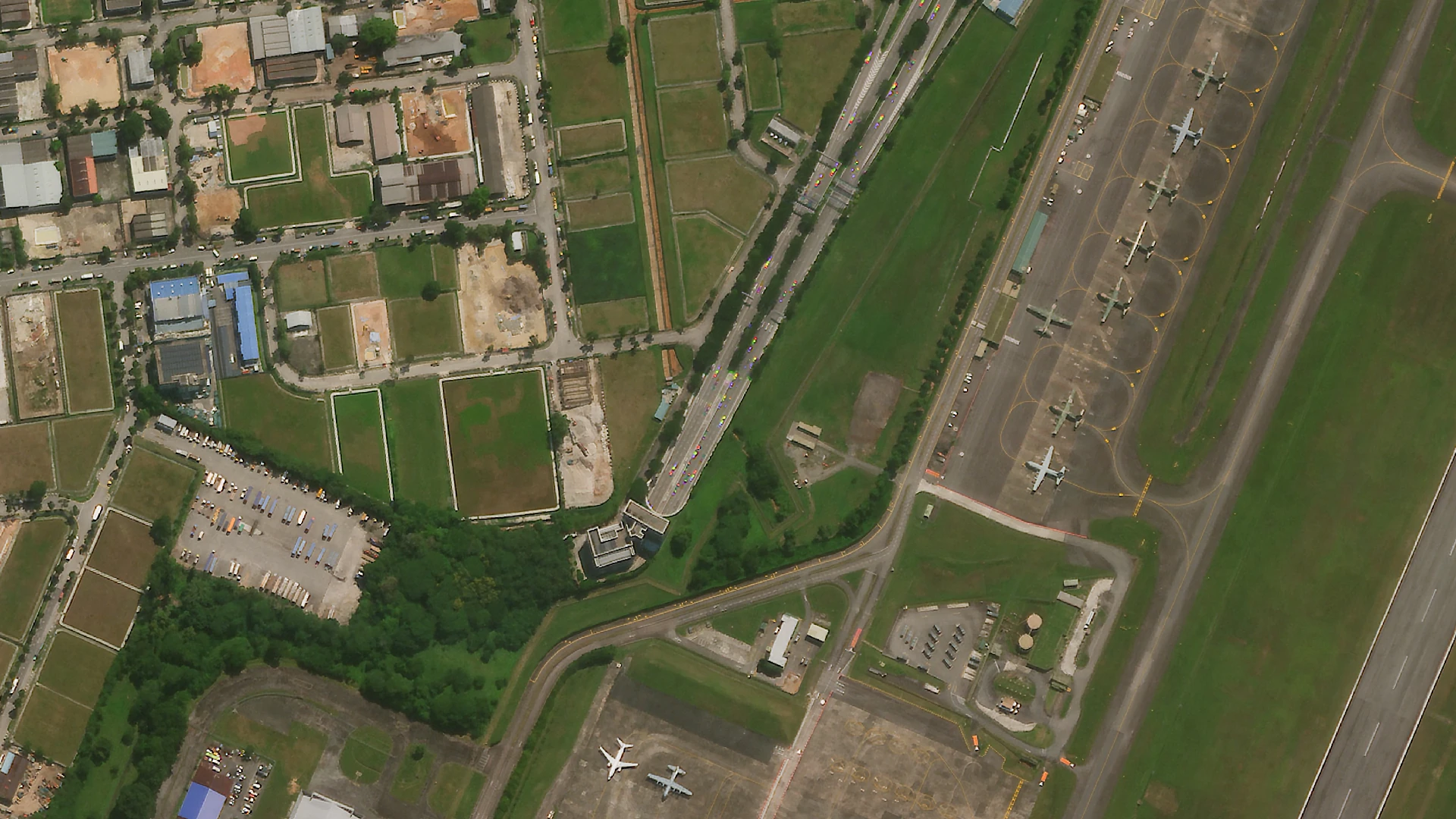
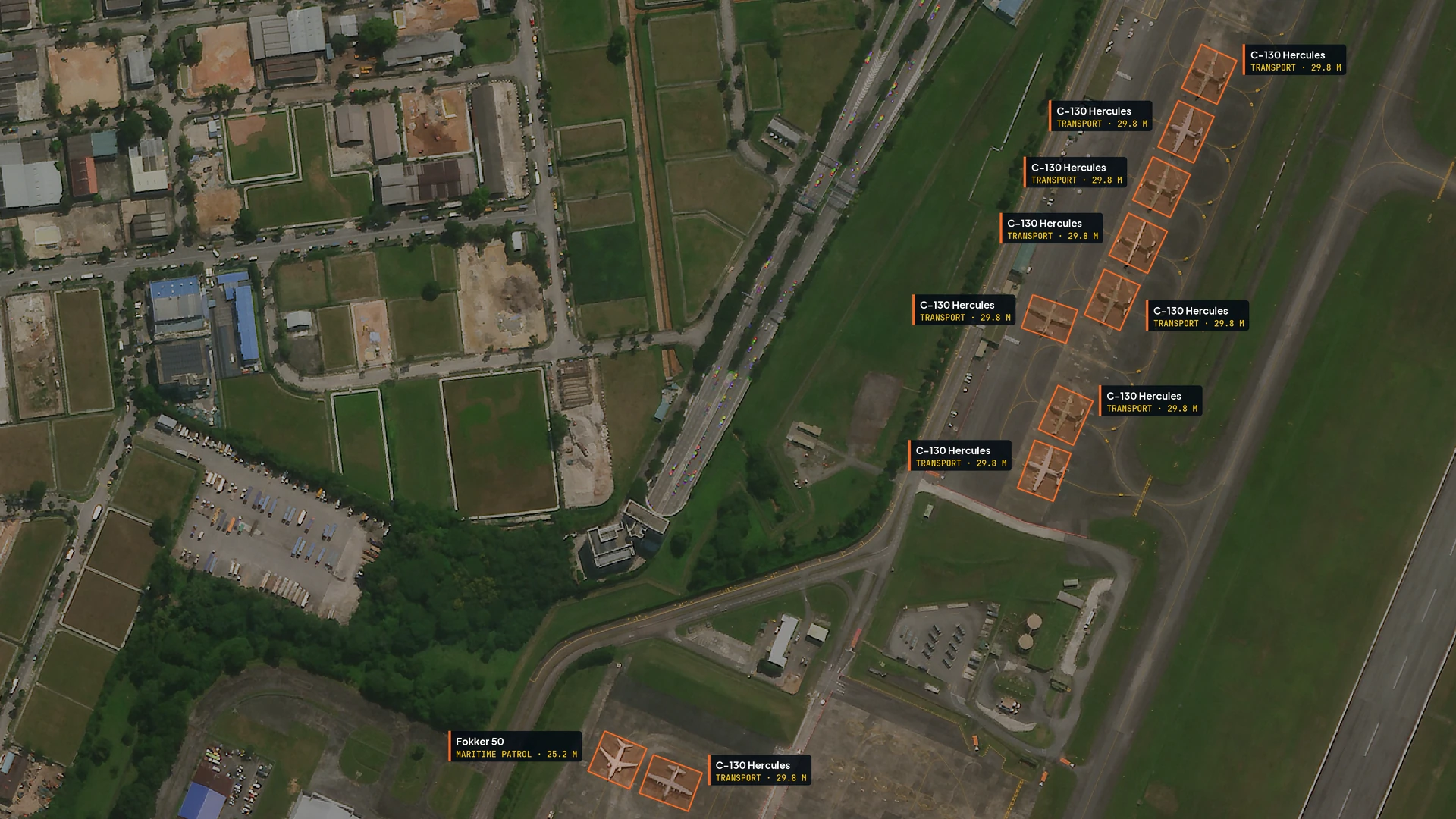
AI finds each aircraft on the apron, outlines it and identifies its type and size, straight from very high resolution satellite imagery. Drag across the same airfield, before and after.
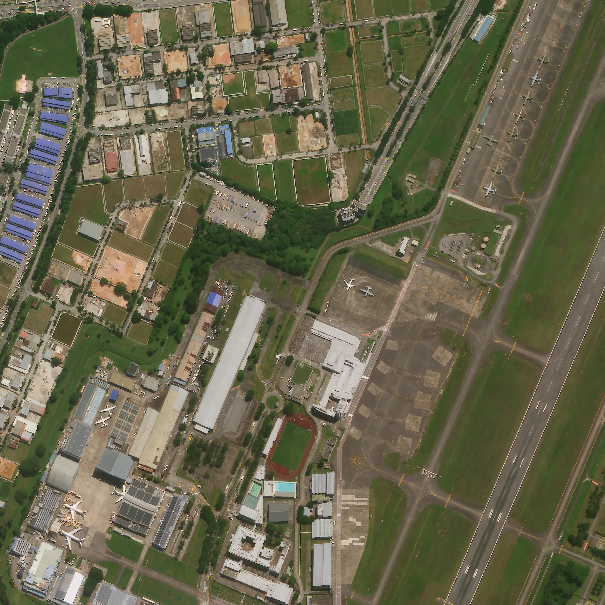
in one satellite scene
- Detectevery aircraft in the scene
- Classifytransport, airliner, patrol
- Identifythe type, e.g. C-130
- Locateand size each one

Choose an aircraft on the image or in the list to inspect it.
Before and after
02 · TAMING · Terrain intelligence
Terrain intel for the field, offline.
TAMING (Tactical Area Mapping, Intelligence, Navigation & Geoanalytics): draw an area, pick the analyses, share one link. Below is a real package over the hills of Bekok, Johor: turn the terrain and switch between the analyses the portal produced.
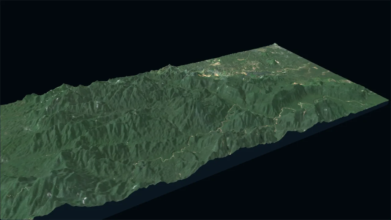
Real output of a terrain package over Bekok, Johor (49.8 × 22.5 km), relief exaggerated ×3. Elevation: Copernicus DEM GLO-30 © DLR e.V. 2010–2014 and © Airbus Defence and Space GmbH 2014–2018, provided under COPERNICUS by the European Union and ESA. Imagery: contains modified Copernicus Sentinel data 2026.
In the portal
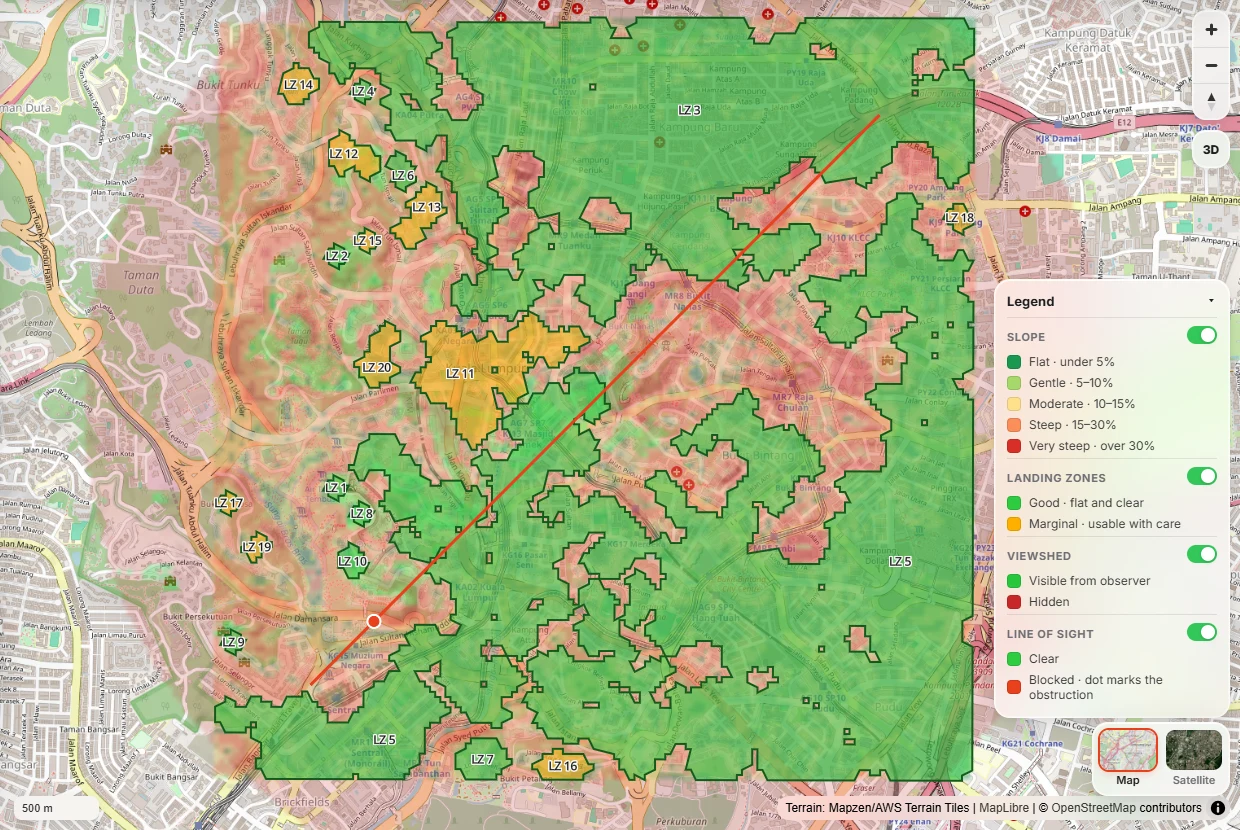
- Slope classesFrom flat to very steep, for movement and siting.
- Landing zonesHelicopter and UAV sites, graded good or marginal.
- ViewshedExactly what an observer can and cannot see.
- Line of sightClear or blocked, with the obstruction marked.
- Terrain profilesElevation along any route, ready to brief.
Works where the network doesn’t.
Each package carries its own satellite imagery, elevation and analysis layers. Open it on a phone or tablet and switch layers, read results or tilt into 3D terrain, fully offline.
Built on Copernicus DEM, Sentinel-2 and OpenStreetMap, with secure access and links that expire.
Open TAMING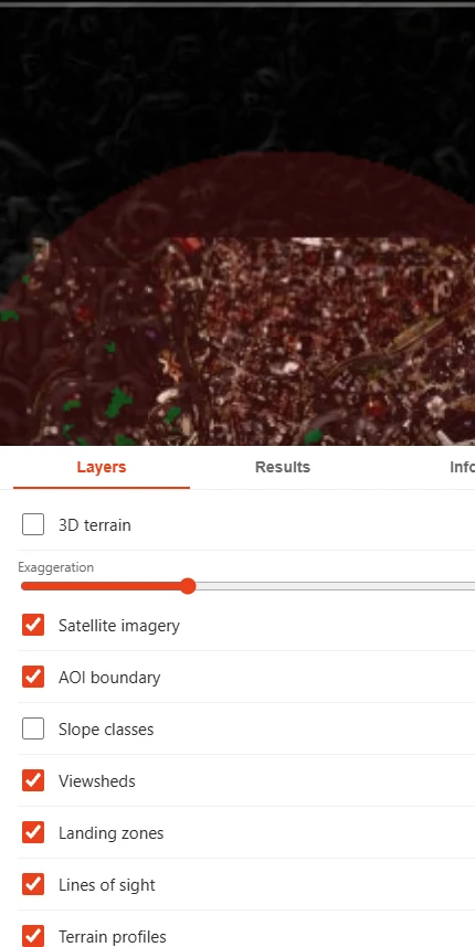
Secure access
For authorised users, ready today.
TAMING runs on Uzma Digital Earth. Sign in with your portal account, or talk to us about access for your team.