
Solutions

Geo
analytics

Six solutions in one platform. Hover a card to see what it measures.

Uzma Digital Earth

One platform.
Six ways to see.

Each solution turns imagery into measurements your team can act on. Hover or tap a card for the details.

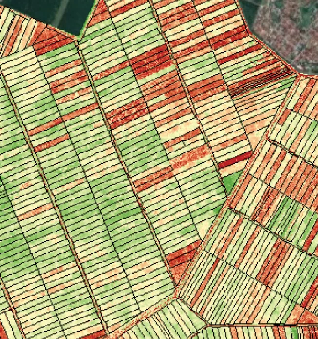
Satellite view of cultivated fields
01

AGRO

Precision agriculture

Precision agriculture

AGRO

Soil and crop health from custom vegetation indices, so every field gets the water, nutrients and attention it needs.

  • Crop health and vigour indices
  • Soil moisture and nutrient stress
  • Yield and resource planning
Oil palm plantation from above
02

ESTATE

Plantation management

Plantation management

ESTATE

Automated land-use classification and early warning for disease and nutrient deficiency across whole estates.

  • Palm counting and replanting blocks
  • Anomaly and early-warning alerts
  • Sustainable agri-commodity reporting
Infrastructure seen from orbit
03

ASSET

Infrastructure & ground movement

Infrastructure & ground movement

ASSET

Construction progress and asset verification across long corridors, with InSAR to catch subsidence before it becomes failure.

  • Progress tracking for projects
  • Pipeline and corridor monitoring
  • InSAR ground deformation
Forest and river landscape
04

ENVIRO

Environment & forestry

Environment & forestry

ENVIRO

Emissions, carbon stock and forest cover measured from space, for ESG reporting that stands up to scrutiny.

  • Methane, CO₂ and NO₂ tracking
  • Carbon stock and biomass
  • Deforestation alerts
Dense city blocks from above
05

URBAN

Urban planning & development

Urban planning & development

URBAN

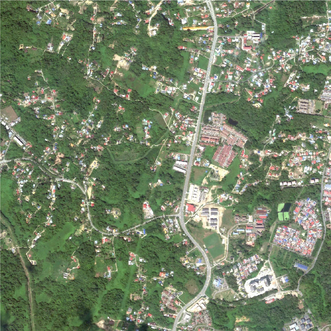
Urban sprawl, green space and heat islands mapped for smart-city and low-carbon planning.

  • Sprawl and land-use change
  • Green space and heat islands
  • 3D city models with UzmaLENS
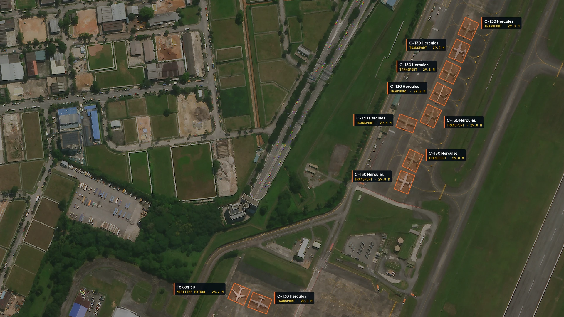
Aircraft on an airfield apron, each outlined and identified by AI
06

UzmaSATRIA

Defence-grade GEOINT

Defence-grade GEOINT

UzmaSATRIA

Satellite communications, real-time geospatial intelligence and AI-driven analytics brought together for maritime, land and air domains.

  • Real-time geospatial intelligence
  • AI aircraft detection and identification
  • TAMING tactical terrain analysis
  • Maritime, land and air awareness
  • Secure access for authorised users

UzmaSATRIA · Aircraft detection

Every aircraft, found and named.

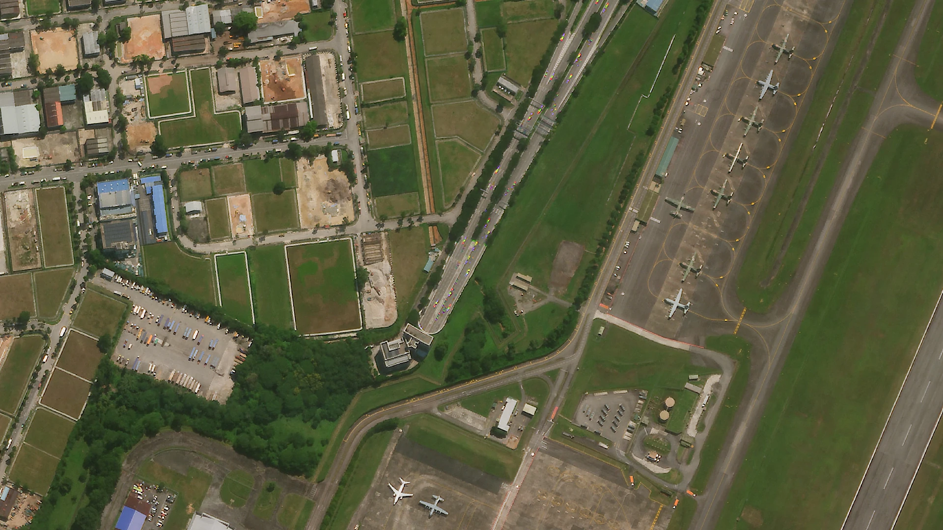
UzmaSATRIA finds each aircraft on the apron, outlines it and identifies its type and size, straight from very high resolution satellite imagery. Drag across the same airfield, before and after.

Raw satellite imagery of the aircraft apron at Paya Lebar, Singapore

Open UzmaSATRIA

From pixel to decision

Measured,
not guessed.

Vegetation, structures and change are scored automatically, then checked by analysts who know the ground.

Seen from orbit

Every image
has a story.

Real imagery from the UZMA-Sat 1 product line. Turn a card to read what our analysts look for.

Coastal & Maritime Monitoring
01 / 10

Coastal & Maritime Monitoring

UZMA-Sat 1

Coastal & Maritime Monitoring

Seen by UZMA-Sat 1

Shorelines, reefs and water quality read pass after pass, with vessel activity counted along the way.

Source
UZMA-Sat 1 product imagery
Type
Optical, very high resolution
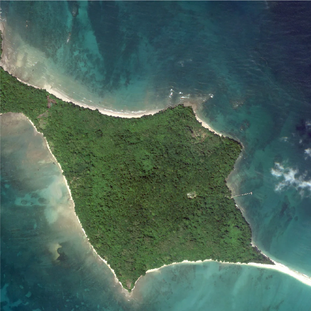
Khung Kraben Bay, Thailand - Coastal & Maritime Monitoring
02 / 10

Khung Kraben Bay, Thailand

Coastal & Maritime Monitoring

Coastal & Maritime Monitoring

Khung Kraben Bay, Thailand

Shorelines, reefs and water quality read pass after pass, with vessel activity counted along the way.

Source
UZMA-Sat 1 product imagery
Type
Optical, very high resolution
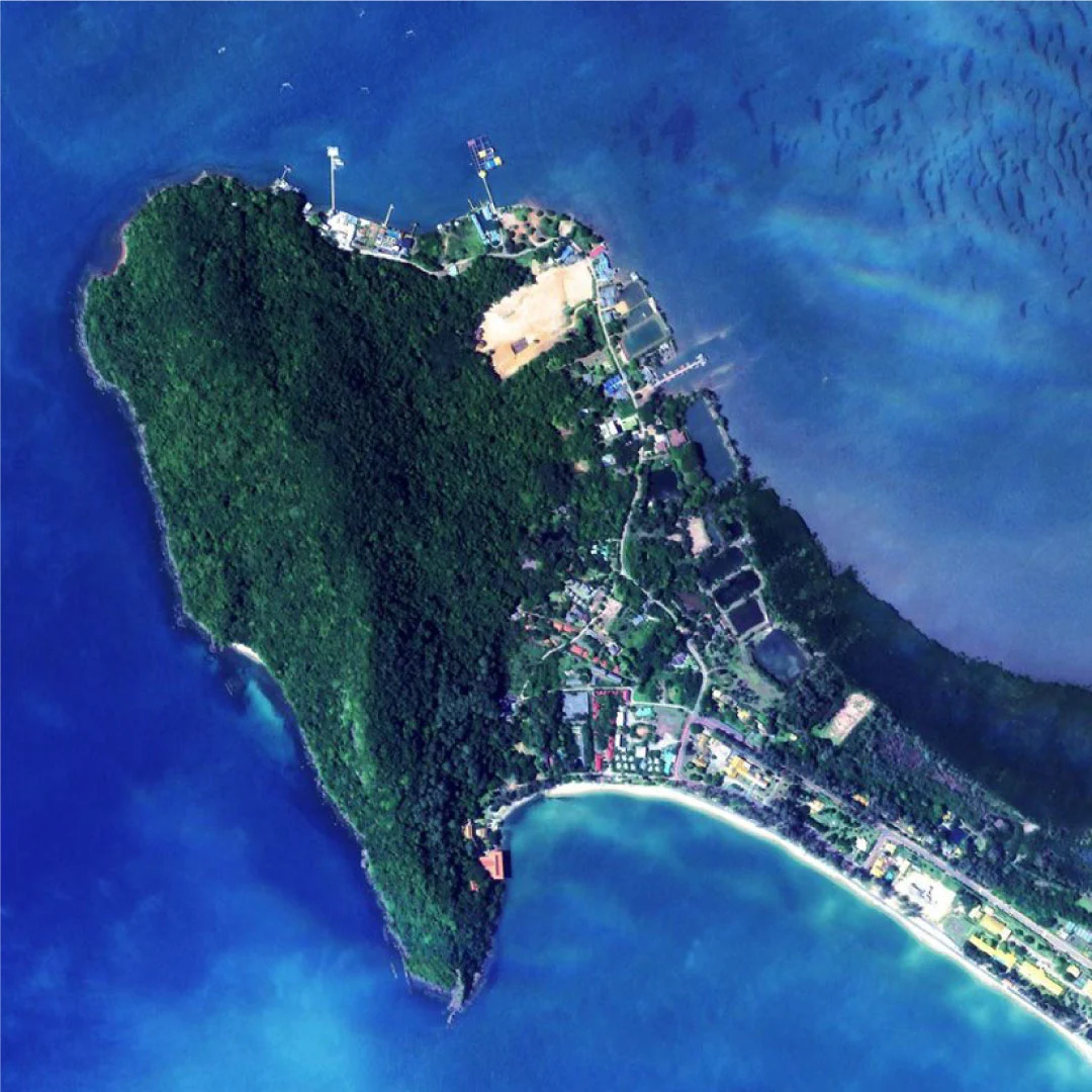
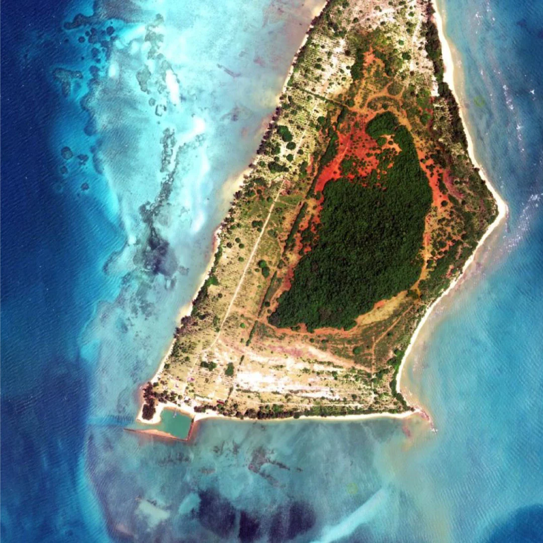
Ko Kradat, Thailand - Coastal & Maritime Monitoring
03 / 10

Ko Kradat, Thailand

Coastal & Maritime Monitoring

Coastal & Maritime Monitoring

Ko Kradat, Thailand

Shorelines, reefs and water quality read pass after pass, with vessel activity counted along the way.

Source
UZMA-Sat 1 product imagery
Type
Optical, very high resolution
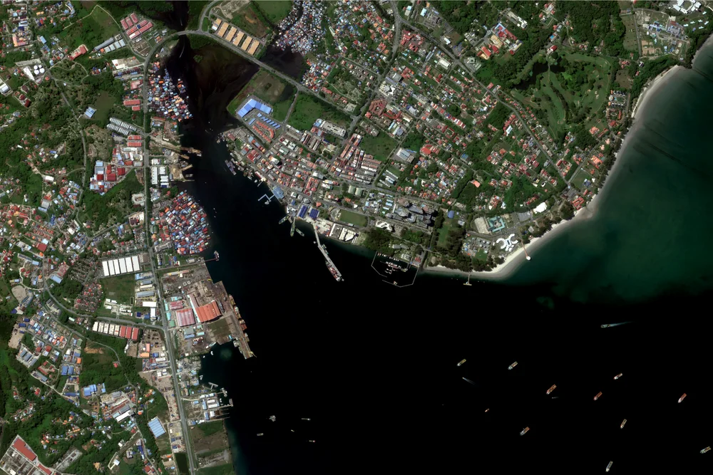
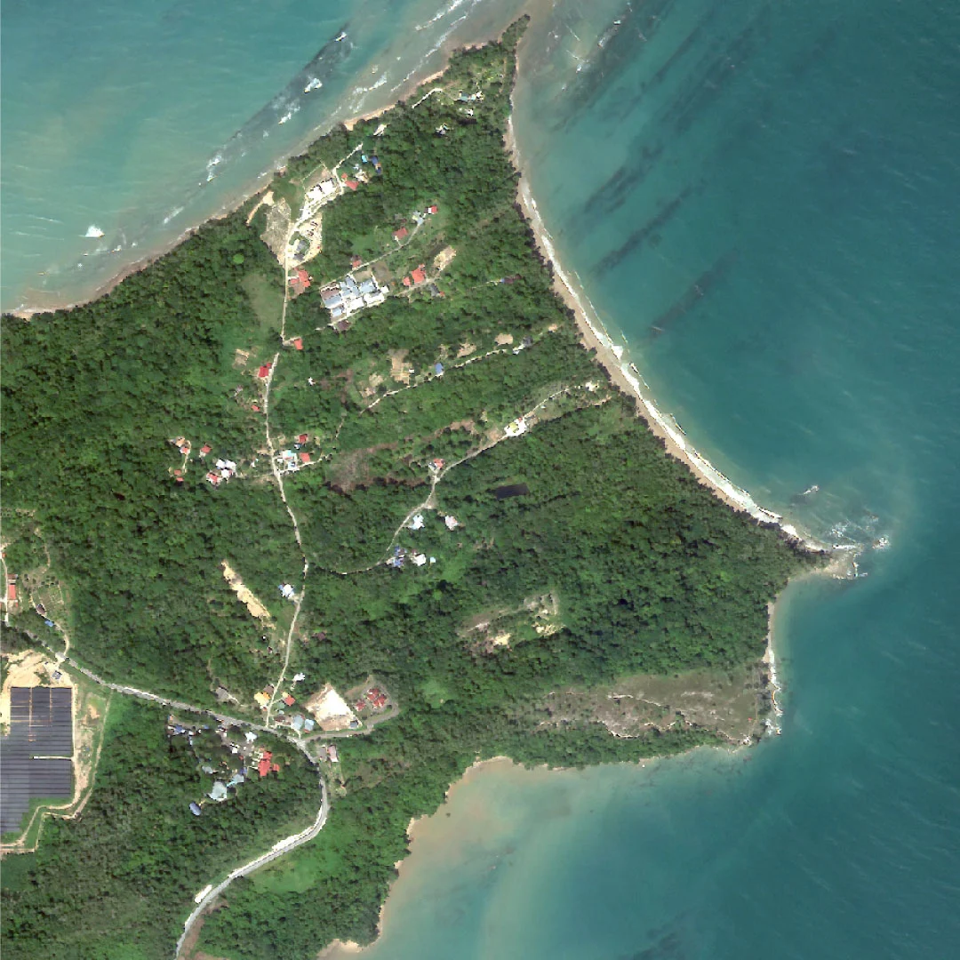
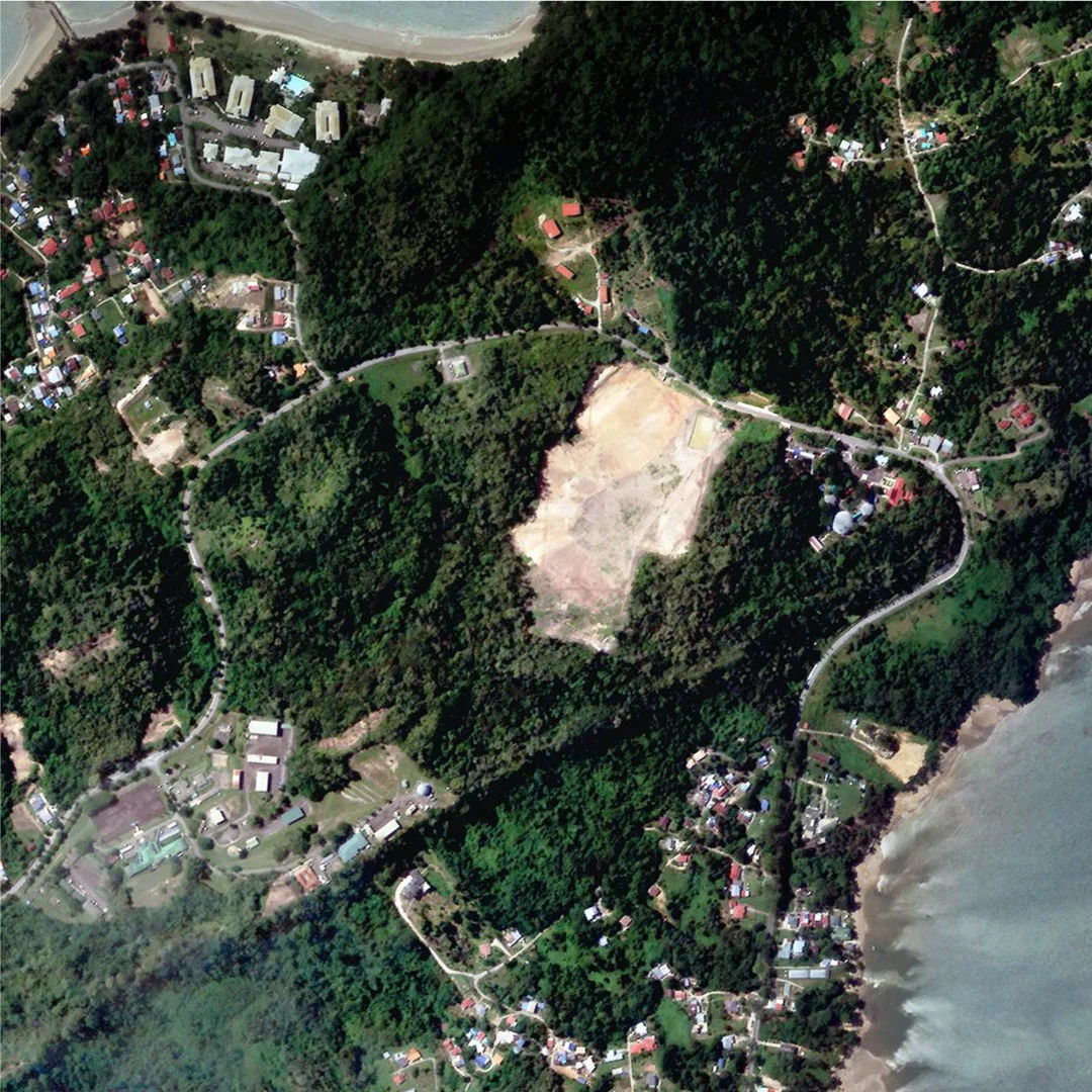
Labuan - Coastal & Maritime Monitoring
04 / 10

Labuan

Coastal & Maritime Monitoring

Coastal & Maritime Monitoring

Labuan

Shorelines, reefs and water quality read pass after pass, with vessel activity counted along the way.

Source
UZMA-Sat 1 product imagery
Type
Optical, very high resolution
Labuan - Land Management
05 / 10

Labuan

Land Management

Land Management

Labuan

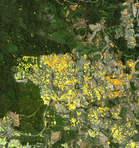
Land use classified parcel by parcel, so change and encroachment show up early.

Source
UZMA-Sat 1 product imagery
Type
Optical, very high resolution
Land Management
06 / 10

Land Management

UZMA-Sat 1

Land Management

Seen by UZMA-Sat 1

Land use classified parcel by parcel, so change and encroachment show up early.

Source
UZMA-Sat 1 product imagery
Type
Optical, very high resolution
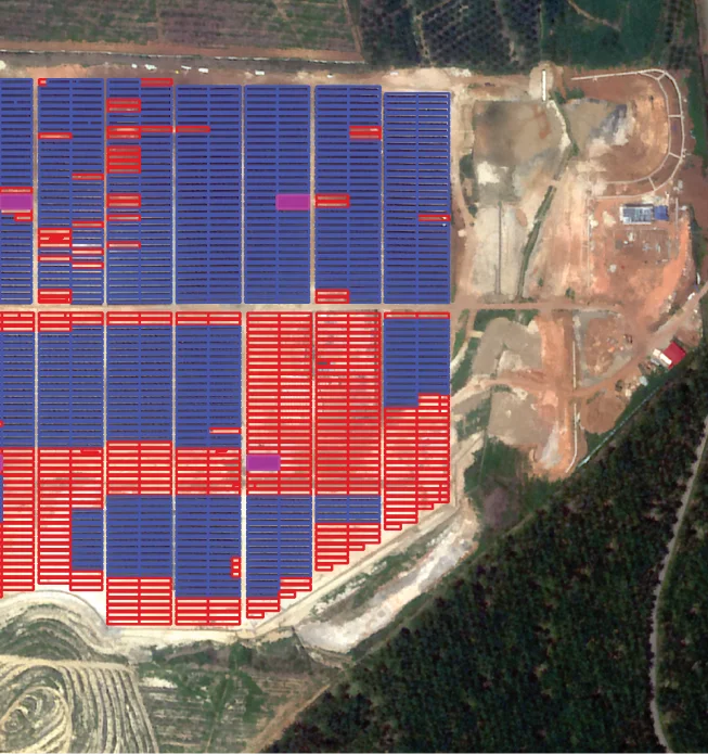
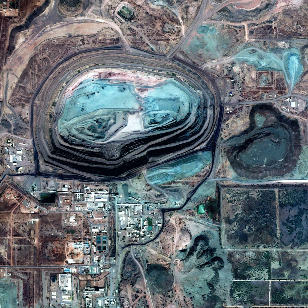
Orapa, Botswana, Africa - Mine Development Monitoring
07 / 10

Orapa, Botswana, Africa

Mine Development Monitoring

Mine Development Monitoring

Orapa, Botswana, Africa

Pit expansion, stockpiles and haul roads measured between visits.

Source
UZMA-Sat 1 product imagery
Type
Optical, very high resolution
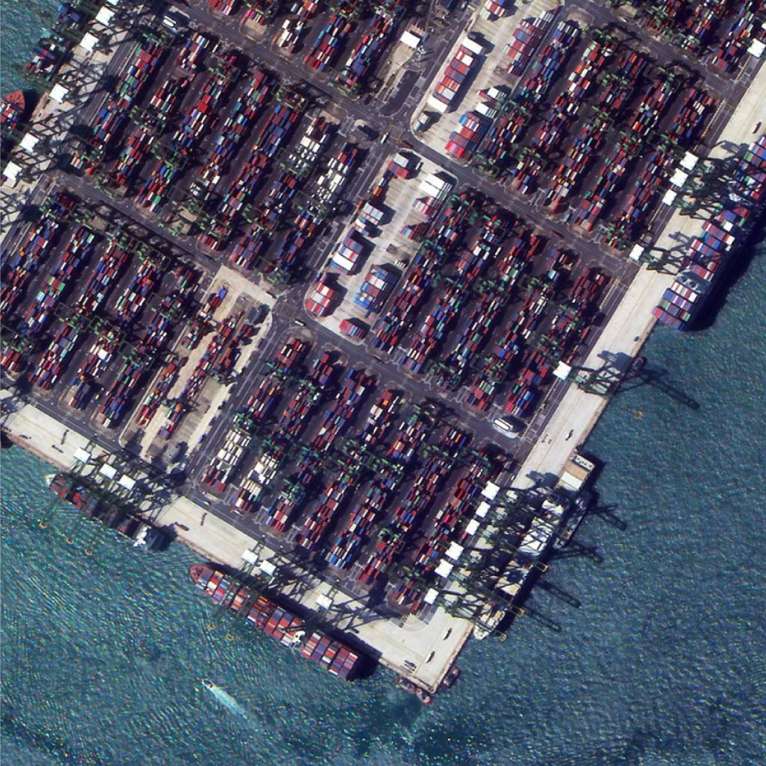
Pasir Panjang - Industrial Port Monitoring
08 / 10

Pasir Panjang

Industrial Port Monitoring

Industrial Port Monitoring

Pasir Panjang

Berth occupancy, container yards and throughput signals from above.

Source
UZMA-Sat 1 product imagery
Type
Optical, very high resolution
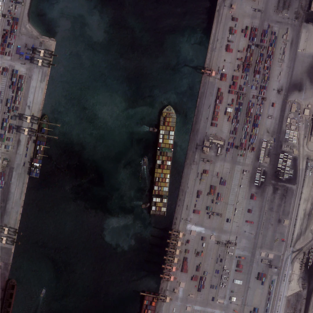
Port Activity Monitoring
09 / 10

Port Activity Monitoring

UZMA-Sat 1

Port Activity Monitoring

Seen by UZMA-Sat 1

Ships, cranes and storage tracked to show how busy a port really is.

Source
UZMA-Sat 1 product imagery
Type
Optical, very high resolution
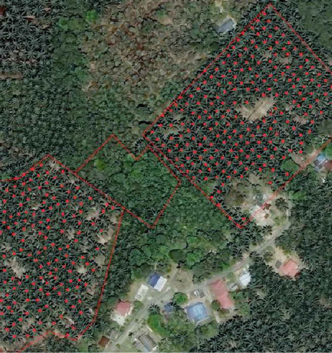
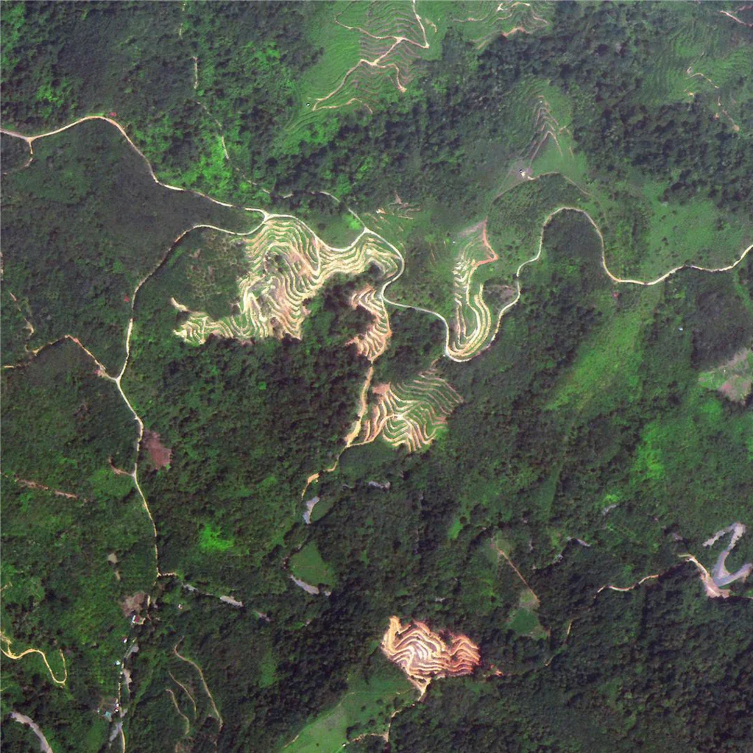
Sabah, Malaysia - Oil Palm Plantation Replanting
10 / 10

Sabah, Malaysia

Oil Palm Plantation Replanting

Oil Palm Plantation Replanting

Sabah, Malaysia

Replanting blocks, canopy gaps and palm age classes mapped across the estate.

Source
UZMA-Sat 1 product imagery
Type
Optical, very high resolution