Services

From orbit
to answer

Imagery, analytics, platforms and people: everything between a satellite pass and a decision.

What we do

Four services.
One accountable team.

Hover or tap a card for the details.

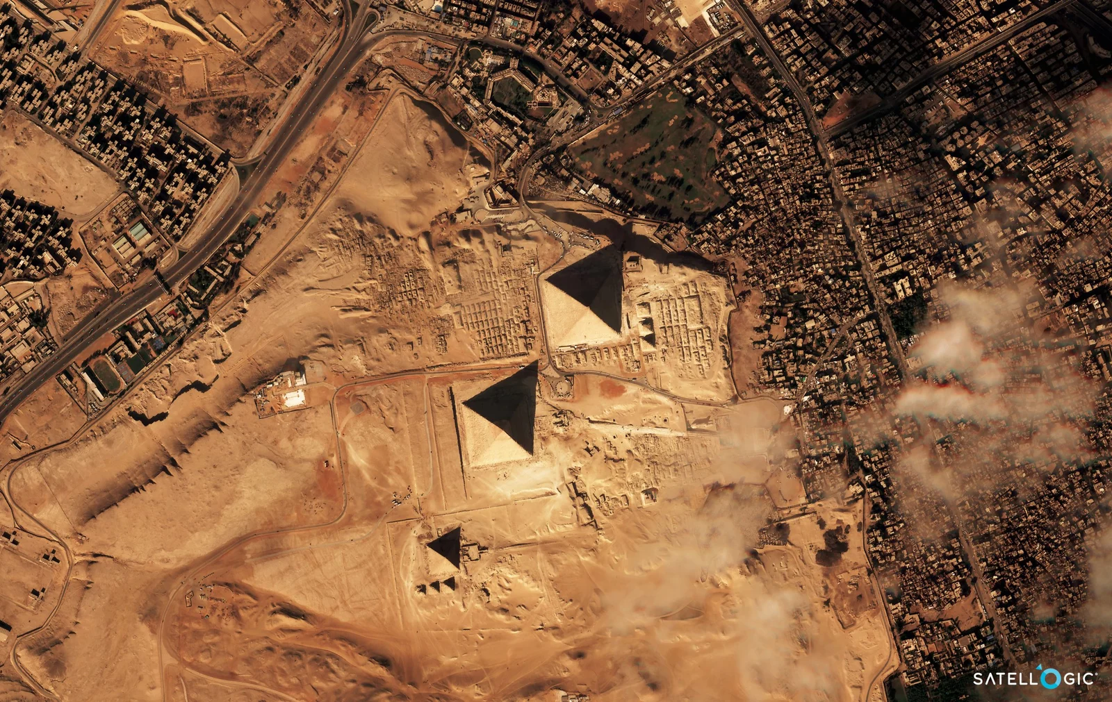
Satellite imagery of Giza
01

High Resolution Satellite Imagery

Imagery

Service 01

High Resolution Satellite Imagery

See the Earth like never before with Geospatial AI’s high-resolution satellite imagery.

  • Up to 50 cm optical imagery
  • Archive and new tasking
  • Delivered ready for GIS
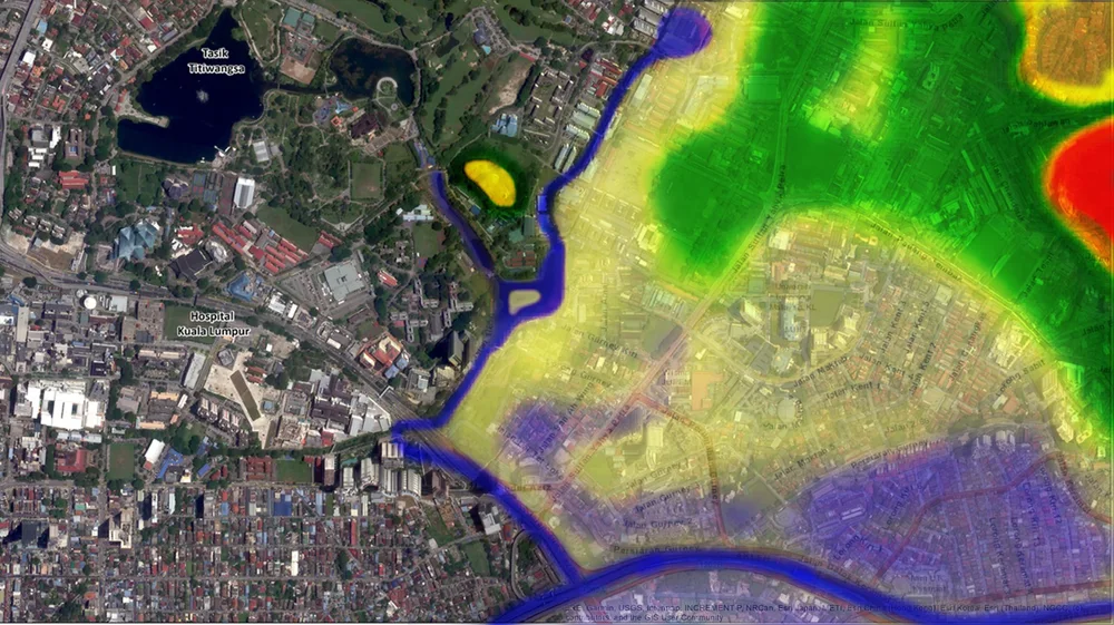
Geospatial mapping and analytics
02

Mapping & Analytics

Analytics

Service 02

Mapping & Analytics

Unlock the power of geospatial data with Geospatial AI’s advanced mapping and analytics services.

  • Thematic and base maps
  • Change detection and indices
  • Reports your board can read
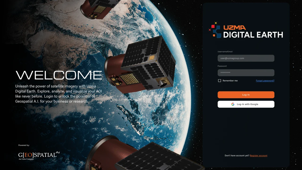
Uzma Digital Earth platform
03

AI Platform Development

Platforms

Service 03

AI Platform Development

Unlock the full potential of your geospatial data with Geospatial AI’s advanced platform development services.

  • Custom geospatial AI models
  • Dashboards on Uzma Digital Earth
  • Integration with your systems
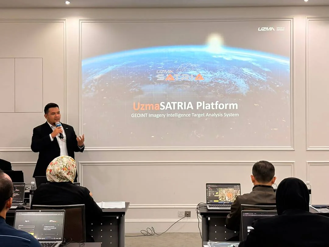
UzmaSATRIA platform training session
04

Training & Consultation

People

Service 04

Training & Consultation

Empower your team with the skills and knowledge to harness the power of geospatial technology through our comprehensive training and consultation services.

  • Hands-on remote sensing courses
  • Advisory for national programmes
  • Workshops for your team

Sovereign data

Our own
eye in orbit.

Analytics built on imagery from a Malaysian satellite programme, so national priorities never wait in someone else’s queue.

The source

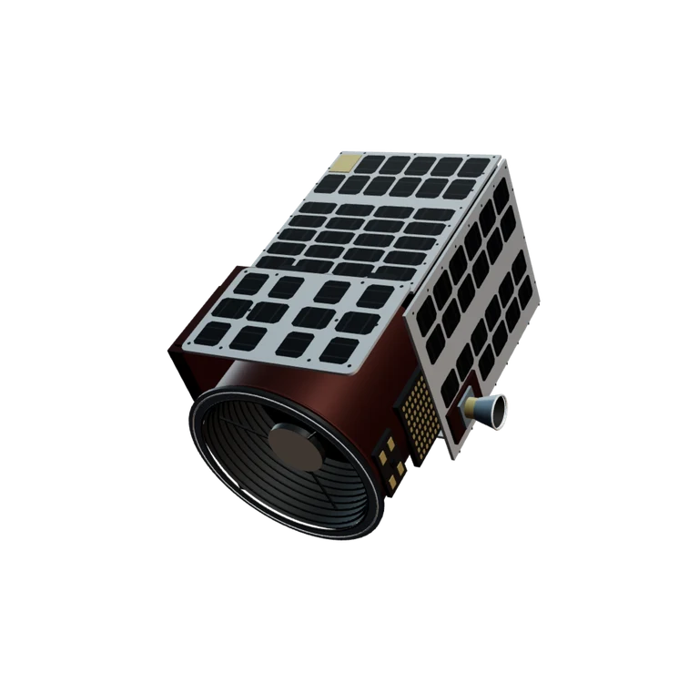
UZMA-Sat 1

Malaysia’s first commercial very high-resolution Earth observation satellite, launched on 15 January 2025 aboard SpaceX Falcon 9, Transporter-12.

Resolution
50 cm
Swath
6.5 km
Altitude
460–525 km
Launch
15 Jan 2025

A new frontier in
geospatial intelligence.

UZMASAT-1 is a collaboration between Uzma and a leading Earth Observation data collection company, Satellogic. Aiming on evolving the geospatial capabilities in Southeast Asia, the EO satellite was launched on 15 January 2025 from Vandenberg Space Force Base, California, US.

Geospatial AI Sdn Bhd, a wholly-owned subsidiary of Uzma, is expected to swiftly respond to market trends by gaining direct access to precise, frequent revisits, and an extensive collection of satellite imagery. Consequently, Geospatial AI aims to advance in the growing market of geospatial applications.


Meet the technology

UZMASAT-1 overview

Malaysia’s own high-resolution Earth observation satellite, built for tropical skies. Tasking control capabilities and an expert-led calibration process tuned for the Malaysia region.

Mass
45.4 kg
Dimensions
508 × 575 × 813 mm
Resolution
Up to 50 cm
Swath width
6.5 km
Altitude
460–525 km

Components

Engineered to see more.

Choose the camera, sun tracker or solar panels to explore the spacecraft.

The evolving perspective / 2023—2025+

More of Earth.
More often.

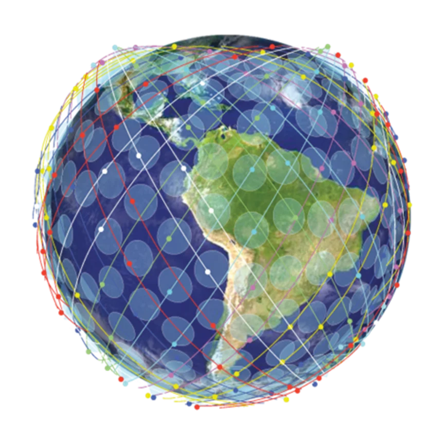
A growing constellation. A clearer picture of change.

Published 2023 satellite constellation illustration
01 / The foundation2023
Published 2025 and beyond satellite constellation illustration
02 / The next horizon2025+

7revisits

Capacity

Highest available tasking capacity with up to 7 revisits per day/site.

50–70cm

Quality

50–70 cm multispectral data with industry-best radiometric values.

Nextgeneration

Pace of change

Rapid iteration and manufacturing; continuously increasing quality and capacity.

Capacity and quality statements from the published 2023–2025+ roadmap.

Unlock the universe

Join the
waiting list.

Register your interest in UzmaSAT-1 through the original Uzma Group registration page.

Join now

The original form requests your name, email and contact number.

UZMA Geospatial AI

Make time for a new perspective.

Choose an available date and time with our team.

Prefer a separate window? Open the booking calendar ↗