


Training & Consultation
Ready to elevate your team’s capabilities with UzmaSAT-1 and Uzma Digital Earth? Contact us to learn more about our training and consultation services and how we can help your organization thrive in the world of geospatial technology.
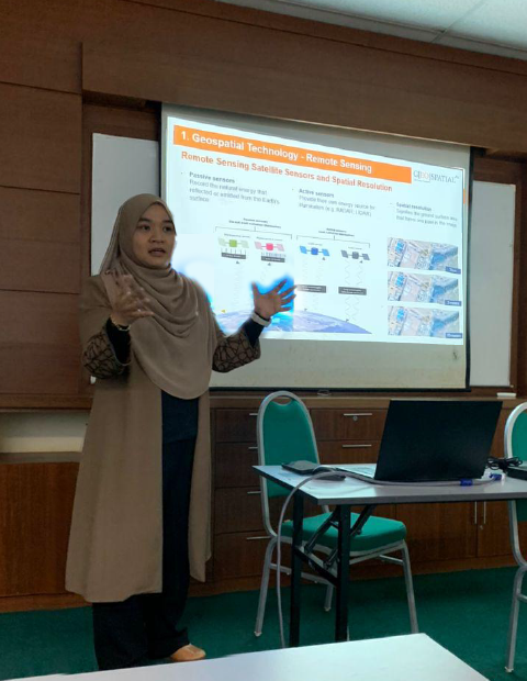
Empower Geospatial Technology Expertise
Designed for both beginners and advanced users, our programs provide your team with the skills and knowledge to effectively harness the power of geospatial technology for your projects.
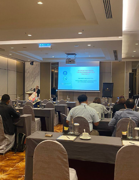
Geospatial Tools & Techniques
Our tailored training sessions covers a range of topics essential for success in modern infrastructure monitoring and planning.
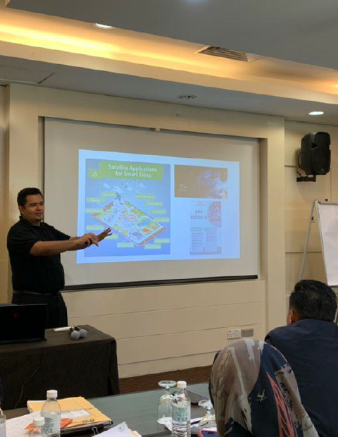
Customized Consultation
Our team works closely with your organization to tackle specific challenges, optimize resource allocation, and implement best practices for long-term success.

Practical, Hands-On Learning
We believe in learning by doing. Our training programs are designed to be highly interactive, featuring real-world case studies, practical exercises, and direct support from seasoned professionals.
Key Areas of Training and Consultation
Key Training Areas
Maximize the potential of the UzmaSAT-1 satellite program and Uzma Digital Earth platform through expert-led training and consultation with Geospatial AI.
Learn to process and analyze satellite data for actionable geospatial insights.
Develop AI and machine learning models for geospatial applications using satellite data.
Utilize AI-driven analytics for feature extraction, prediction, and risk assessment.
Gain expertise in Remote Sensing & GIS Integration to improve decision-making.
Leverage geospatial AI to ensure EUDR compliance and enhance environmental sustainability.
Past Trainings
At Uzma Digital Earth Platform, we offer tailored training solutions designed specifically for your industry’s needs. Whether it’s energy, infrastructure, agriculture, or environmental management, our customized programs ensure you maximize the value of our tools and services for your unique challenges and opportunities.
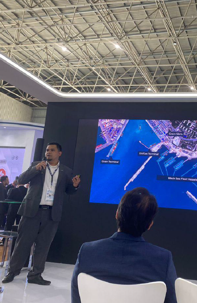

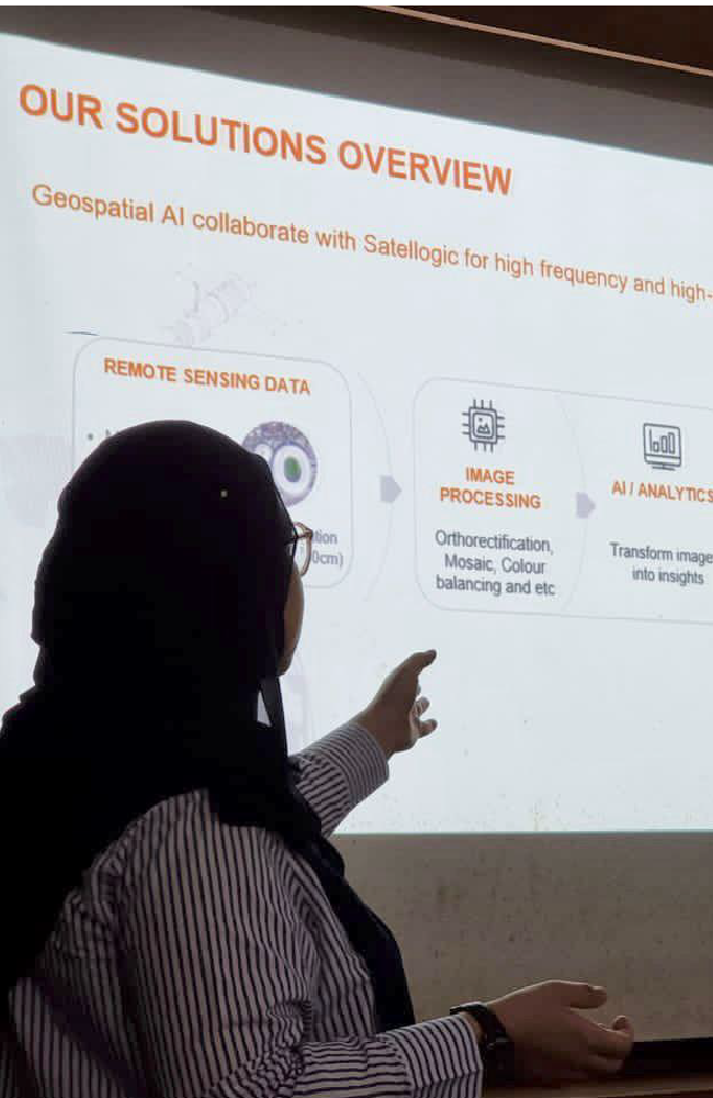
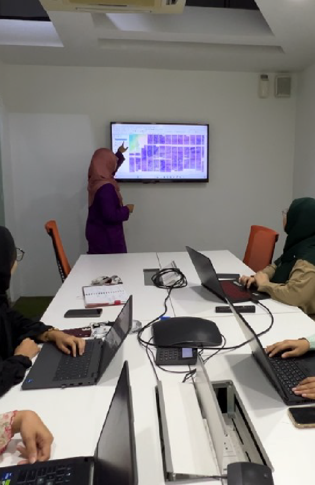
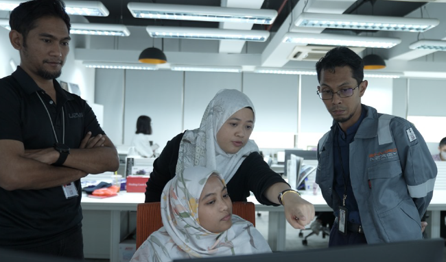
Geospatial training equips professionals with the skills to analyze and utilize location-based data, enhancing decision-making, efficiency, and innovation across industries.

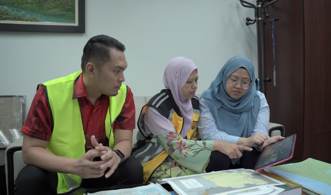


GeoAI Trainer
Behance Dribbble Linkedin Facebook-f TwitterLorem ipsum dolor sit amet, consectetur adipiscing elit. Ut elit tellus, luctus nec ullamcorper mattis, pulvinar dapibus leo.
Nam libero tempore, cum soluta nobis est eligendi optio cumque nihil impedit quo minus id quod maxime placeat facere possimus, omnis voluptas assumenda est, omnis dolor repellendus. Temporibus autem quibusdam et aut officiis debitis aut rerum necessitatibus. PHOTOSHOP 80% HTML 90% CSS 75% WORDPRESS 85%