
Why do we build satellite solutions?
Because data only matters when it helps people make better decisions.
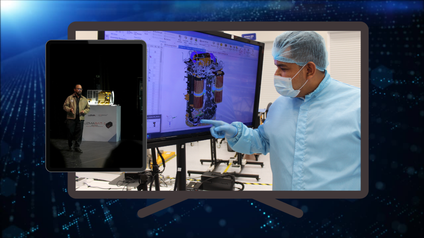
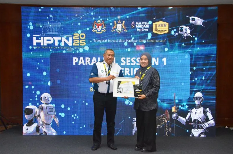
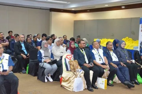
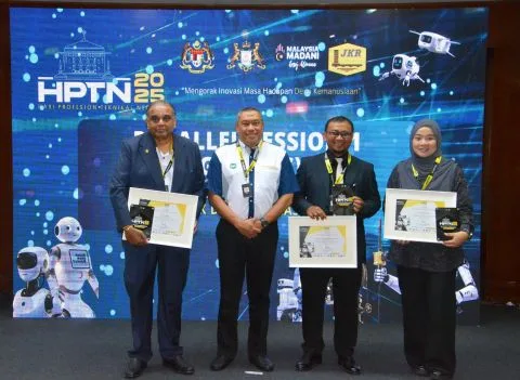
At Geospatial AI, this mission came to life at Hari Profesion Teknikal Negara 2025 (HPTN 2025), where our team member Nur Iza Ismail delivered a session on Satellite Technology for Humanity.
The session demonstrated how satellite technologies translate into actionable geospatial intelligence — from mapping and terrain modelling to monitoring changes on the ground — supporting real-world, evidence-based decision-making.
We thank Public Works Department Malaysia [Jabatan Kerja Raya Malaysia] for the opportunity to share how satellite-driven insights can create meaningful impact. Proud to contribute to the growth of Malaysia’s technical and geospatial capability.
Originally shared on Geospatial AI on LinkedIn.