

Page 01 of 12
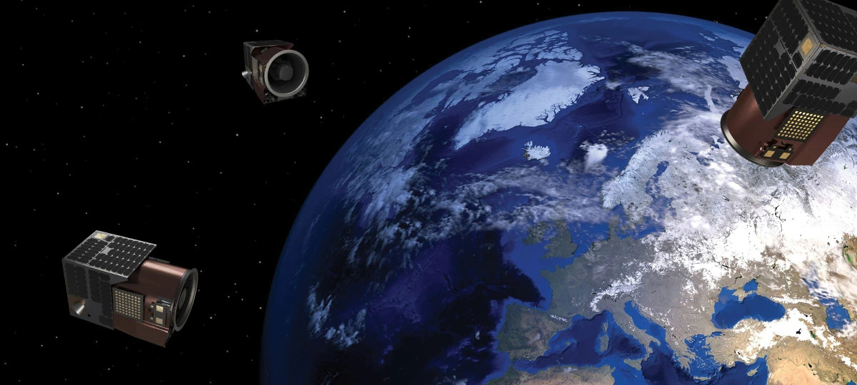
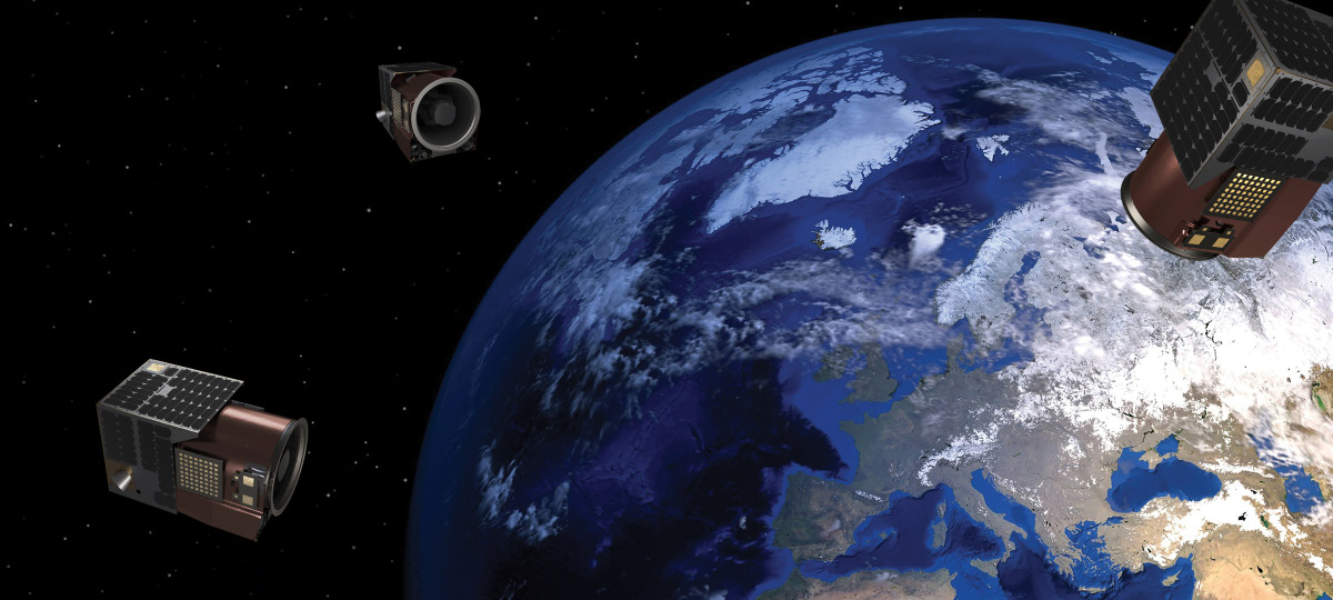
Game changer
Game changer. See better. See the bigger picture. See the unseen.
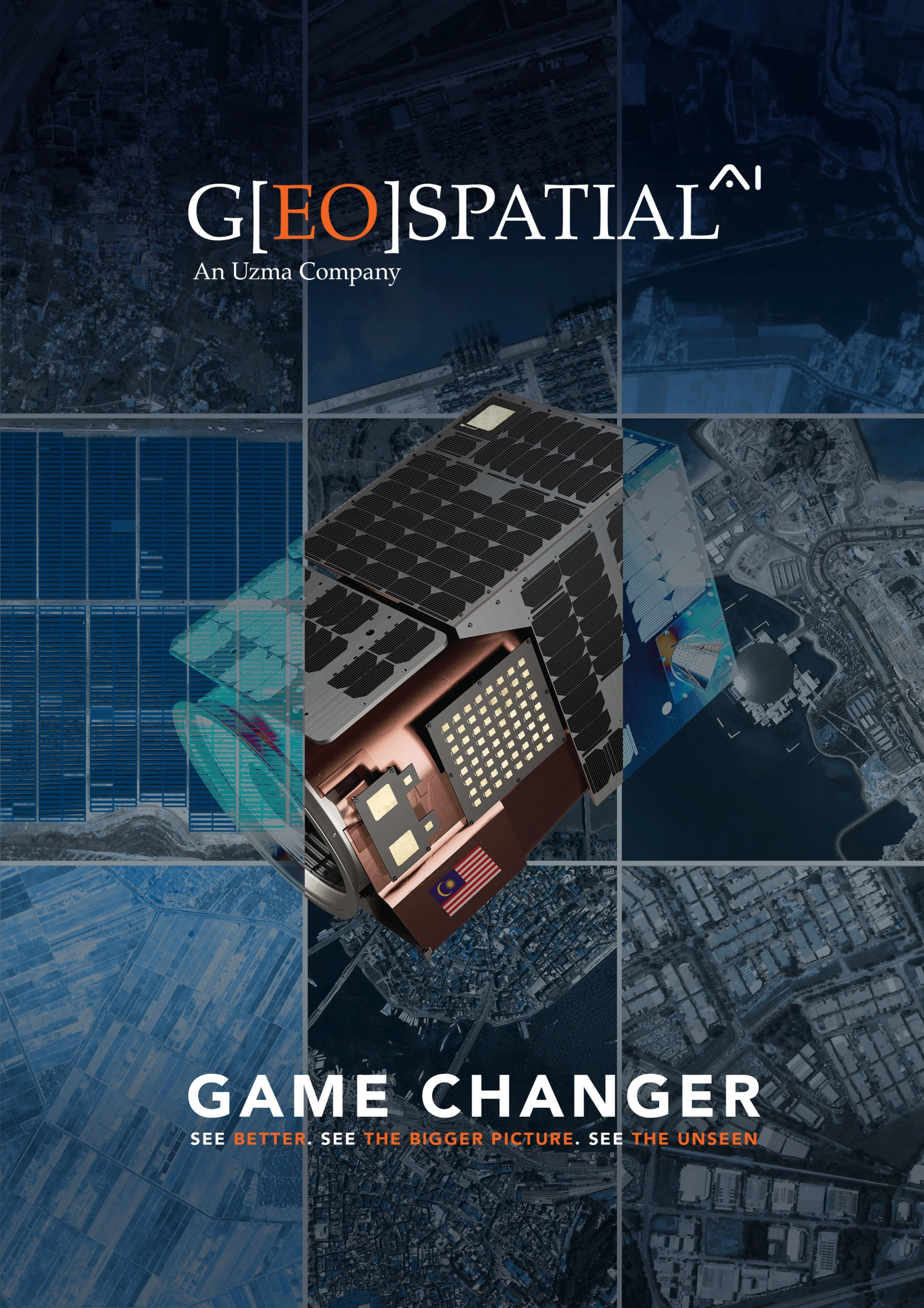
Geospatial AI
An Uzma Company. Explore the complete 2026 brochure, from UZMASAT-1 and satellite imagery to sector-specific analytics and the Uzma Digital Earth platform.
Every image on this page (1)
Read the source text from this page
Page 02 of 12
About Geospatial AI
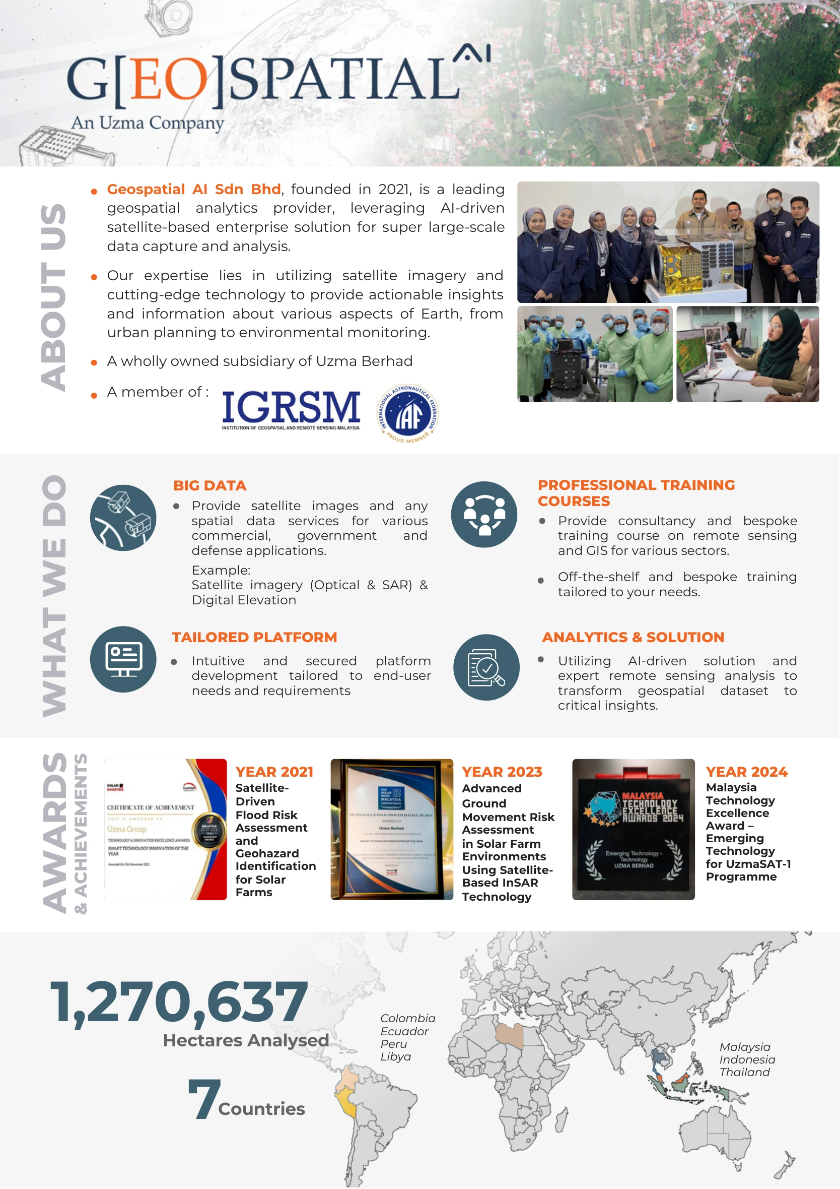
Geospatial AI Sdn Bhd, founded in 2021, is a wholly owned subsidiary of Uzma Berhad and a provider of AI-driven satellite-based enterprise solutions for large-scale data capture and analysis.
What we do
- Big data: satellite images and spatial data services for commercial, government and defense applications, including optical imagery, SAR and digital elevation.
- Tailored platform: intuitive, secured platforms developed around end-user needs and requirements.
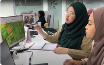
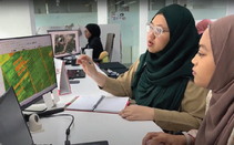
- Analytics & solution: AI-driven solutions and expert remote sensing analysis that turn geospatial datasets into critical insights.
- Professional training courses: consultancy, bespoke remote sensing and GIS training, and off-the-shelf courses tailored to sector needs.
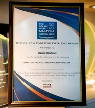
Awards & achievements
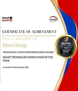
- 2021: Satellite-Driven Flood Risk Assessment and Geohazard Identification for Solar Farms.
- 2023: Advanced Ground Movement Risk Assessment in Solar Farm Environments Using Satellite-Based InSAR Technology.
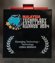
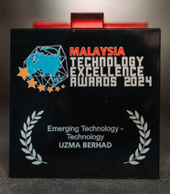
- 2024: Malaysia Technology Excellence Award — Emerging Technology for the UzmaSAT-1 Programme.
Our reach
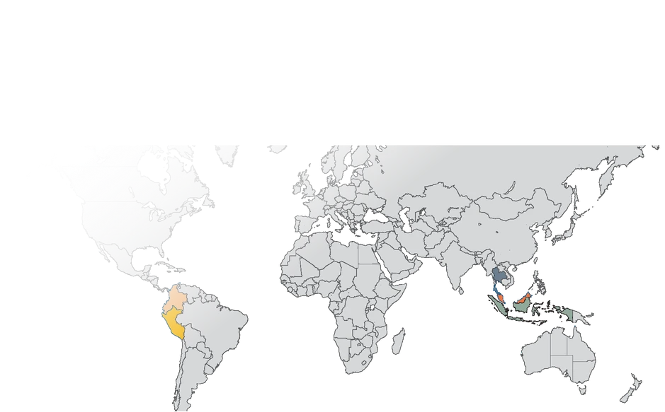
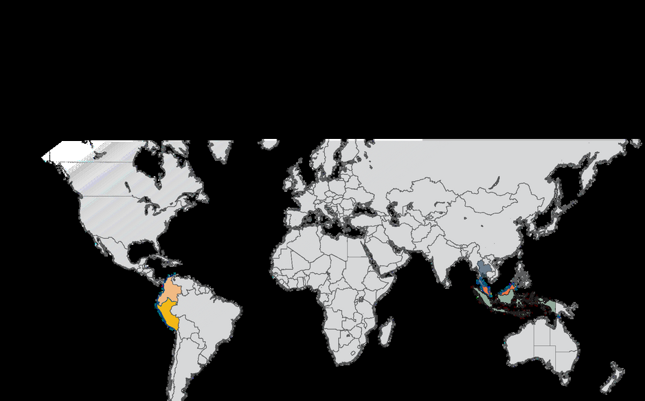
1,270,637 hectares analysed across 7 countries: Colombia, Ecuador, Peru, Libya, Malaysia, Indonesia and Thailand. Memberships shown in the brochure: IGRSM and IAF.
Every image on this page (12)










Read the source text from this page
ABOUT US WHAT WE DO
& ACHIEVEMENTS
BIG DATA
YEAR 2021
TAILORED PLATFORM
Geospatial AI Sdn Bhd, founded in 2021, is a leading geospatial analytics provider, leveraging AI-driven satellite-based enterprise solution for super large-scale data capture and analysis.
Our expertise lies in utilizing satellite imagery and cutting-edge technology to provide actionable insights and information about various aspects of Earth, from urban planning to environmental monitoring.
A member of :
YEAR 2023 Advanced Ground Movement Risk Assessment in Solar Farm Environments Using Satellite- Based InSAR Technology
ANALYTICS & SOLUTION
PROFESSIONAL TRAINING COURSES
YEAR 2024 Malaysia Technology Excellence Award – Emerging Technology for UzmaSAT-1 Programme
Satellite- Driven Flood Risk Assessment and Geohazard Identification for Solar Farms
Colombia Ecuador Peru Libya
Malaysia Indonesia Thailand
Provide satellite images and any spatial data services for various commercial, government and defense applications.
Intuitive and secured platform development tailored to end-user needs and requirements
Utilizing AI-driven solution and expert remote sensing analysis to transform geospatial dataset to critical insights.
Provide consultancy and bespoke training course on remote sensing and GIS for various sectors.
1,270,637 Hectares Analysed
A wholly owned subsidiary of Uzma Berhad
AWARDS
7Countries
Off-the-shelf and bespoke training tailored to your needs.
Example: Satellite imagery (Optical & SAR) & Digital Elevation
Page 03 of 12
UZMASAT-1 specifications
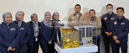
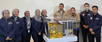
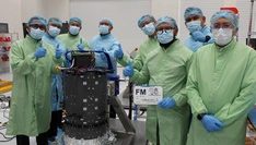
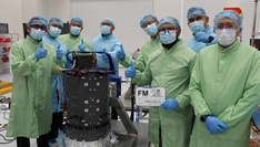
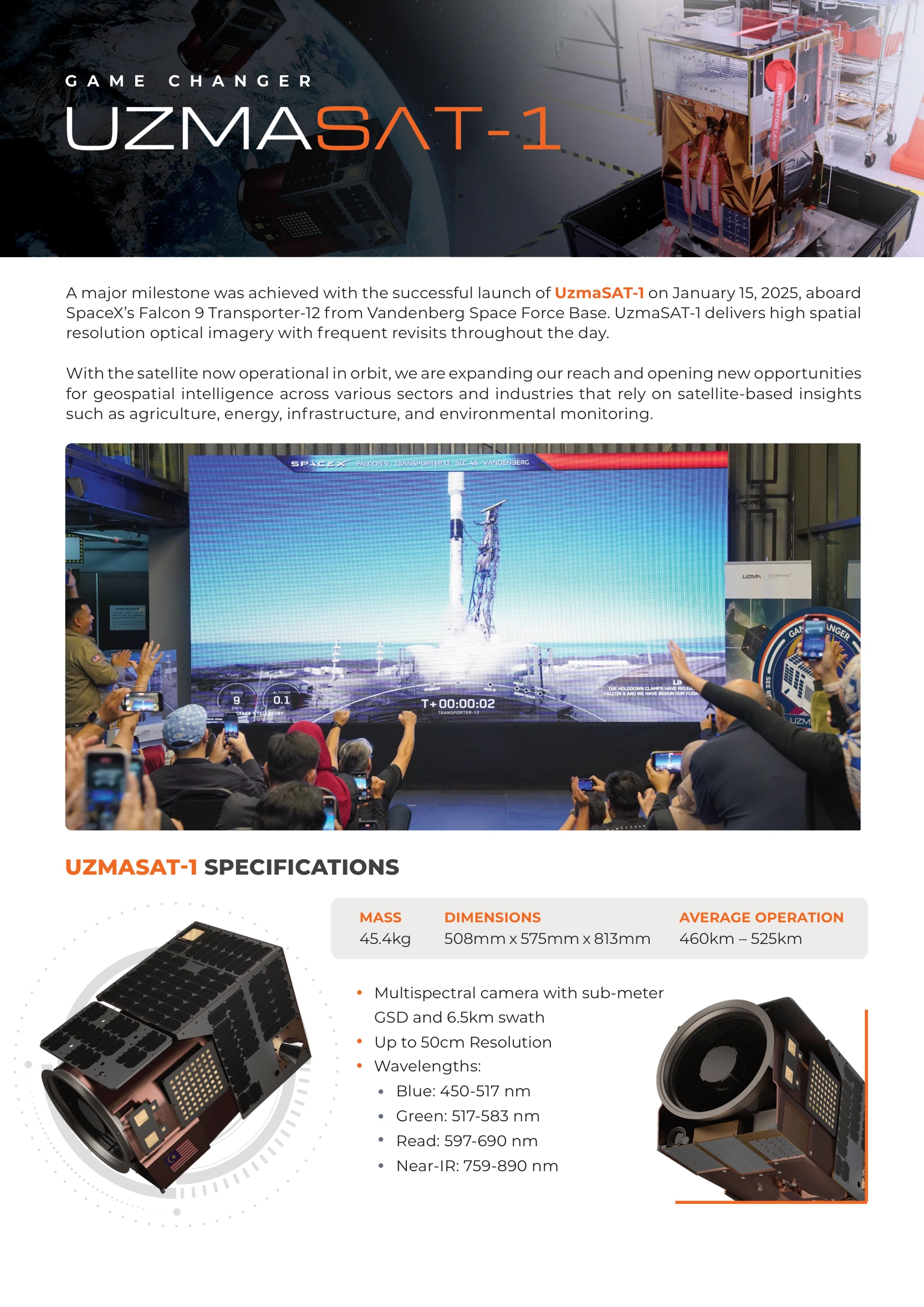
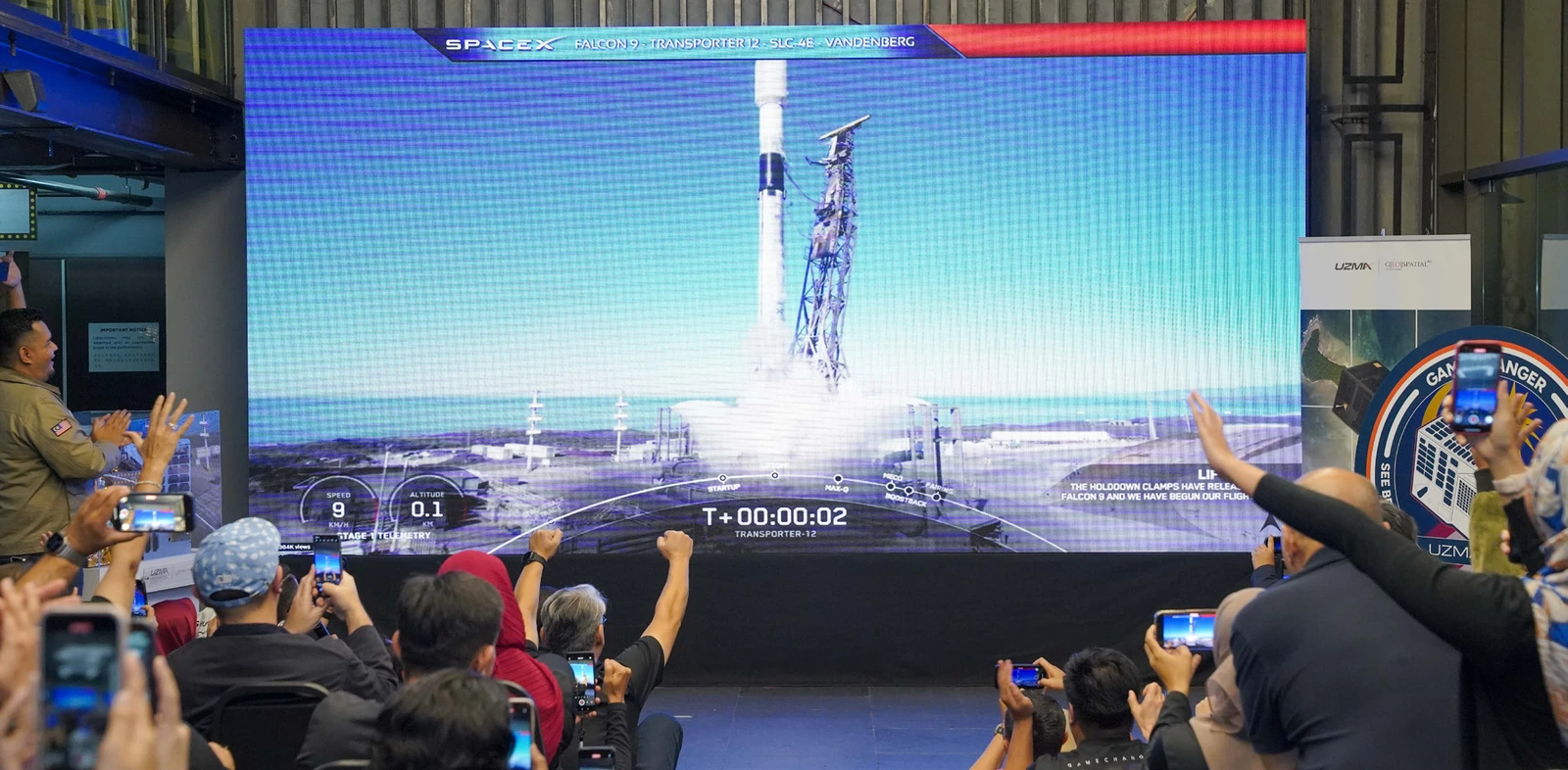
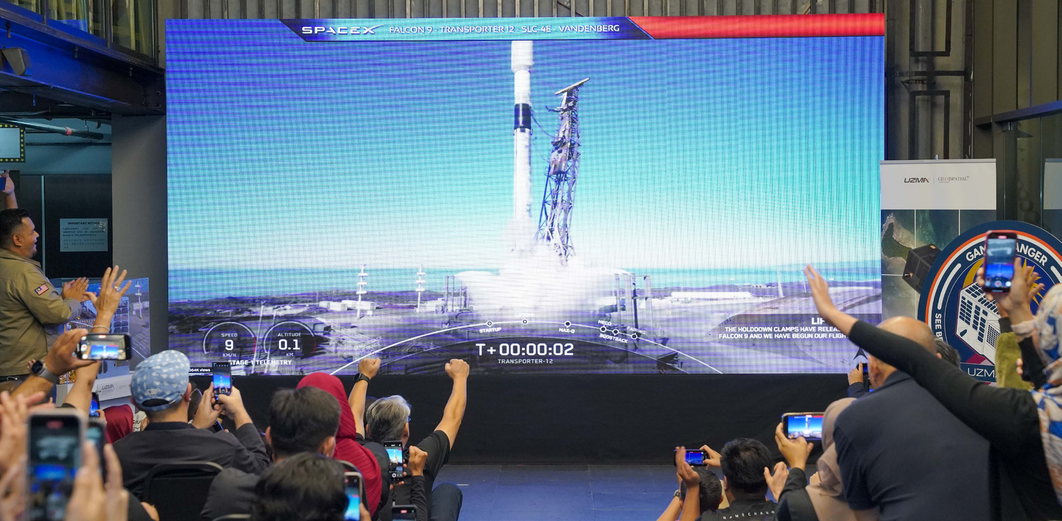
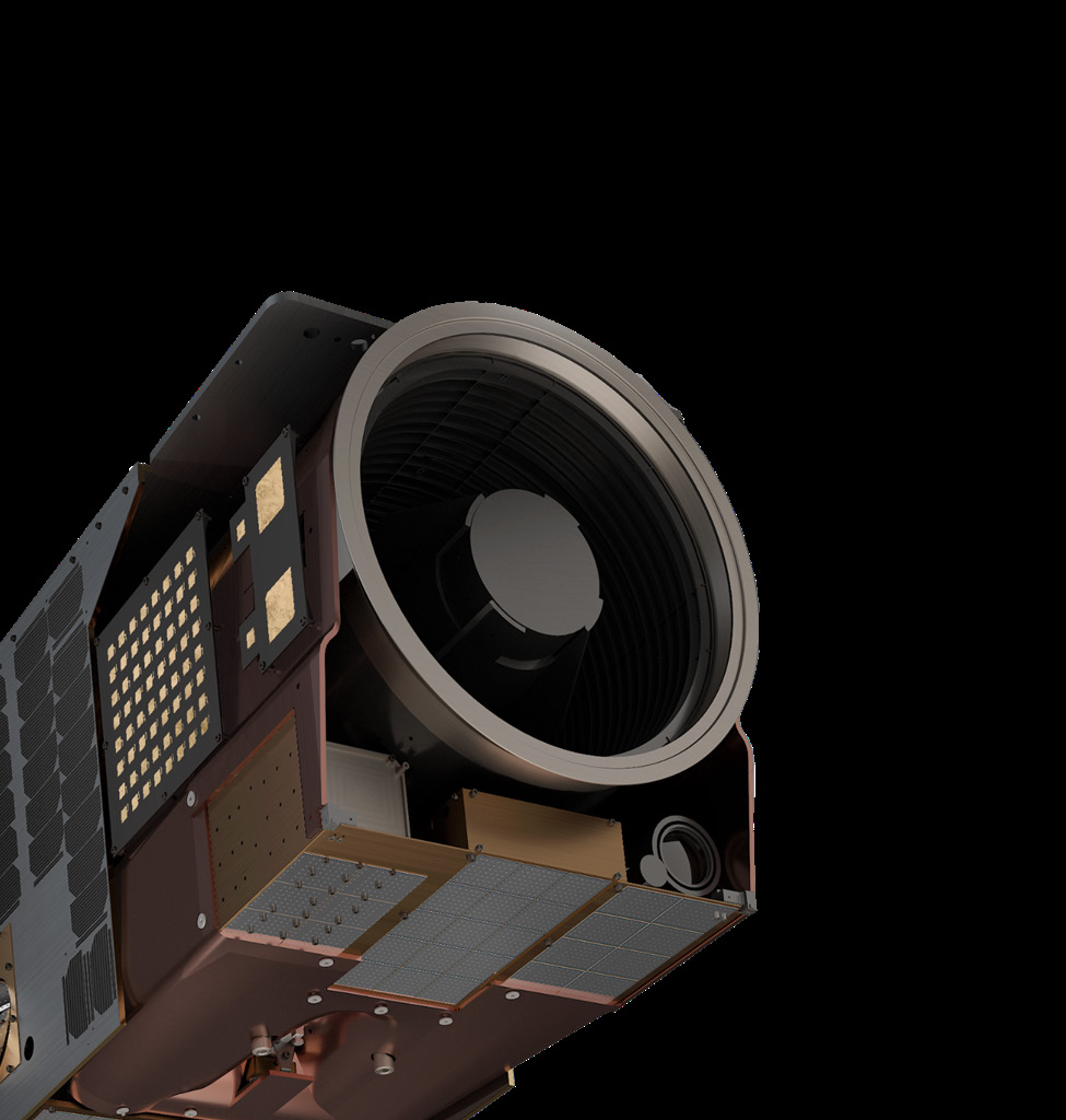
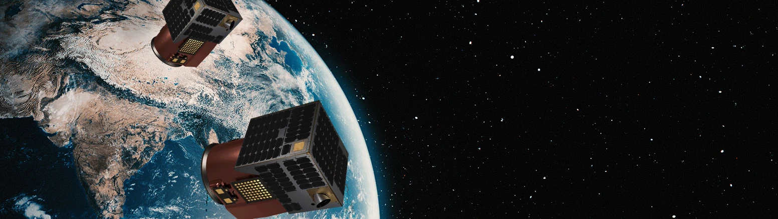
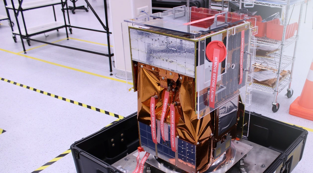
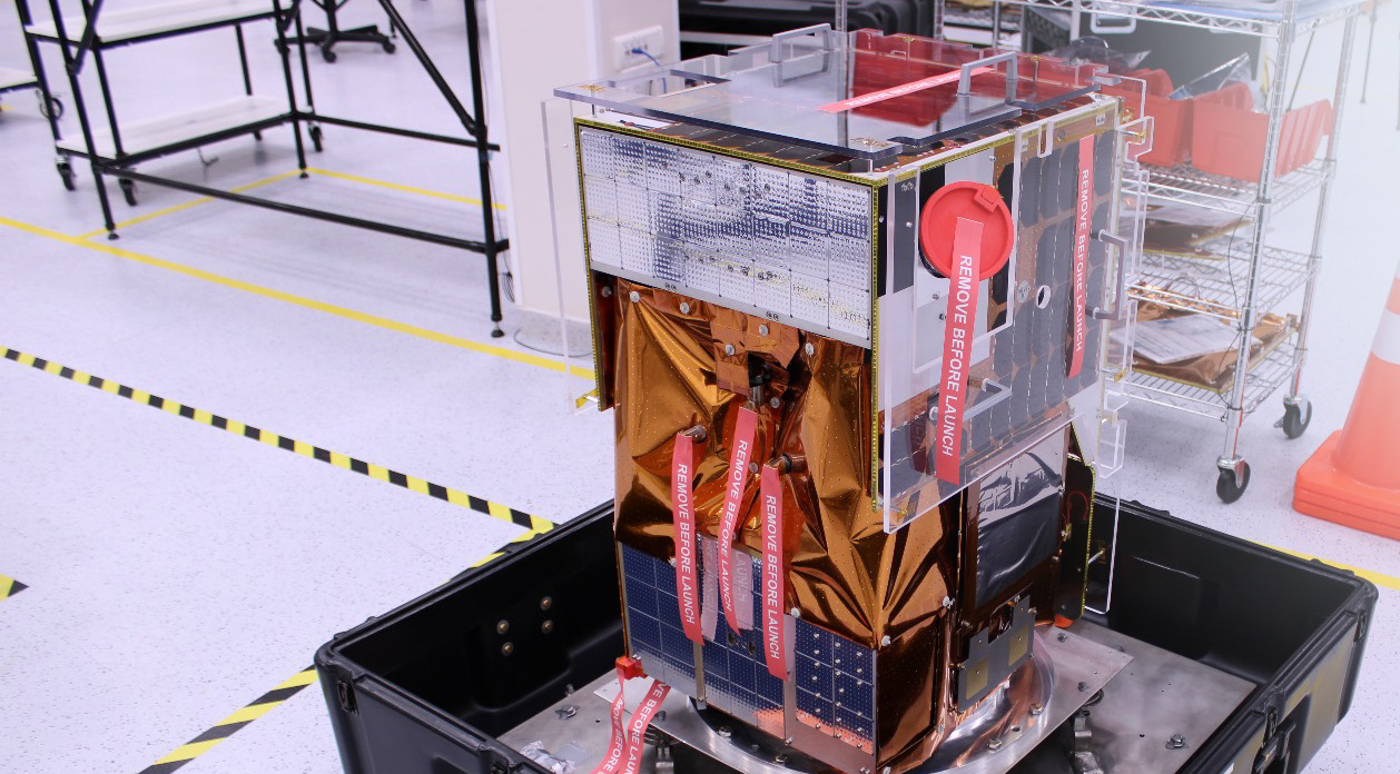
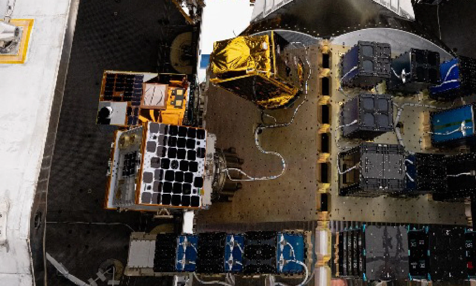
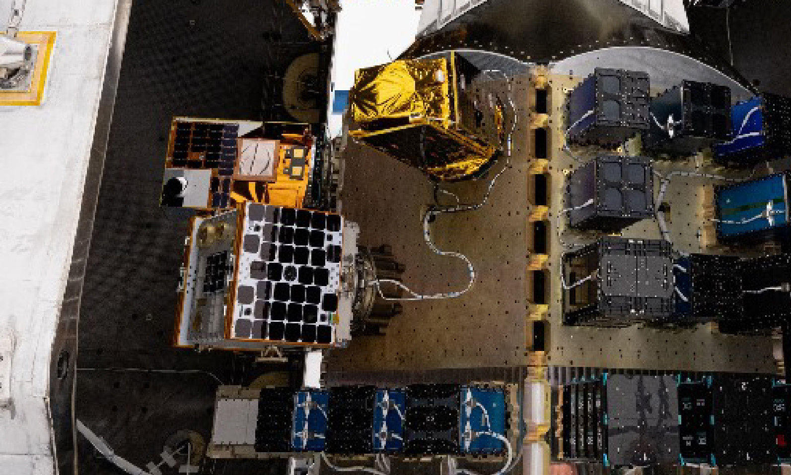
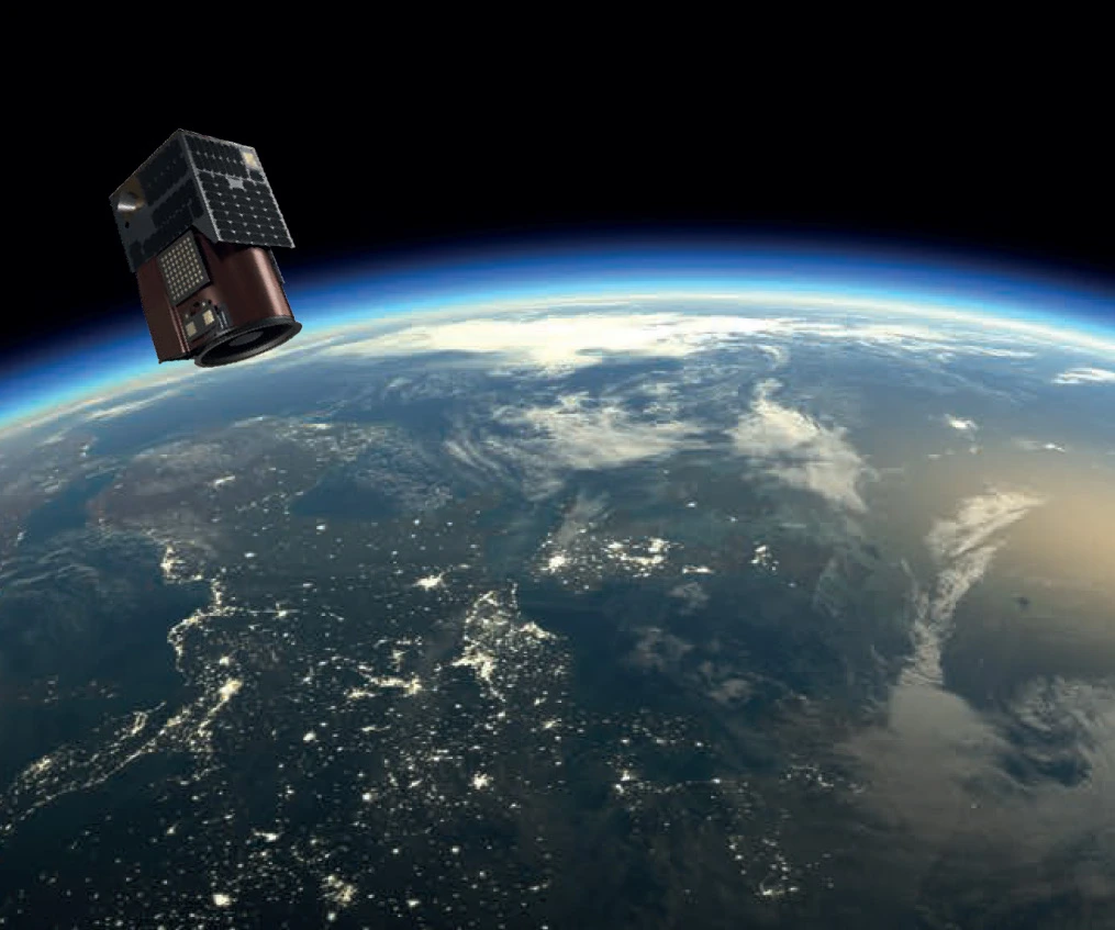
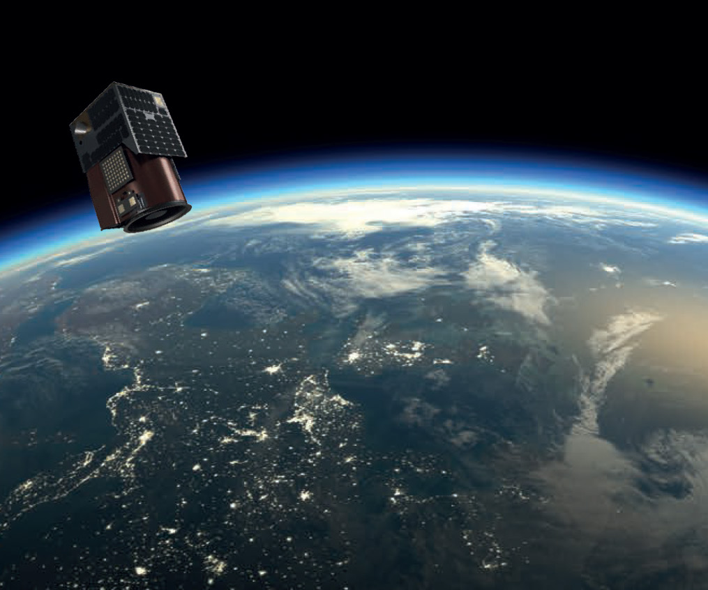
A major milestone was achieved with the successful launch of UzmaSAT-1 on January 15, 2025, aboard SpaceX’s Falcon 9 Transporter-12 from Vandenberg Space Force Base.
A new perspective from orbit
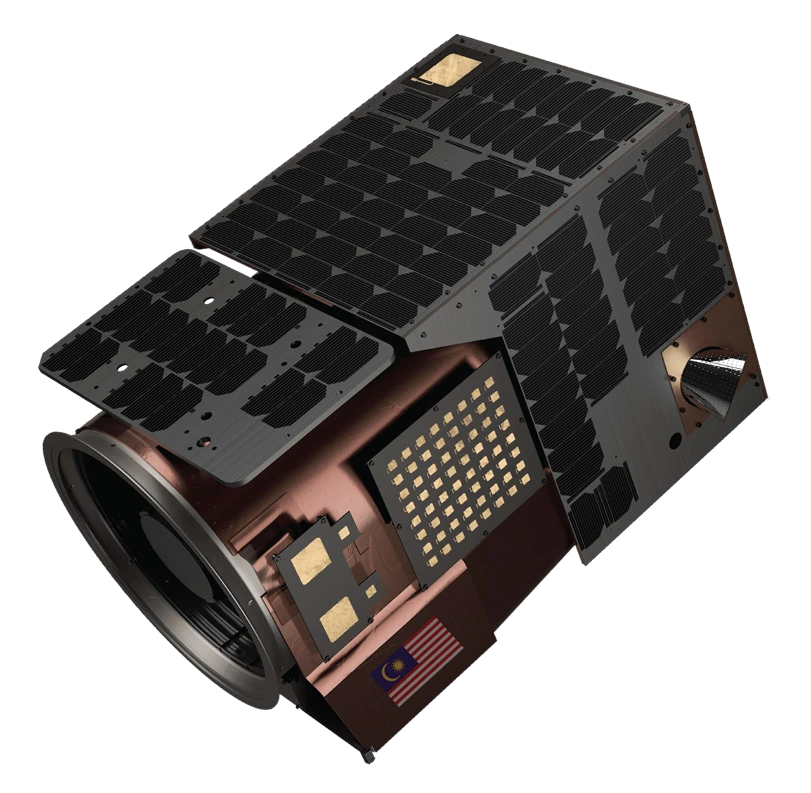
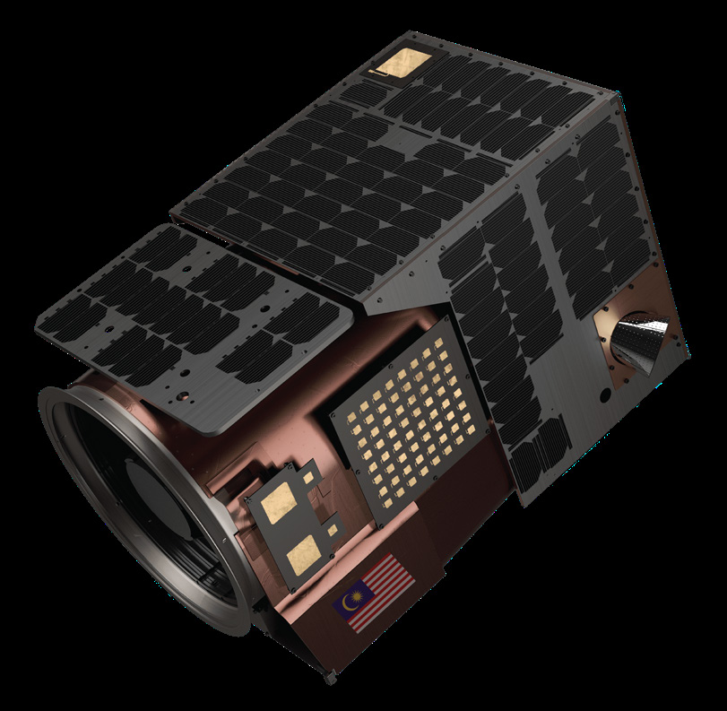
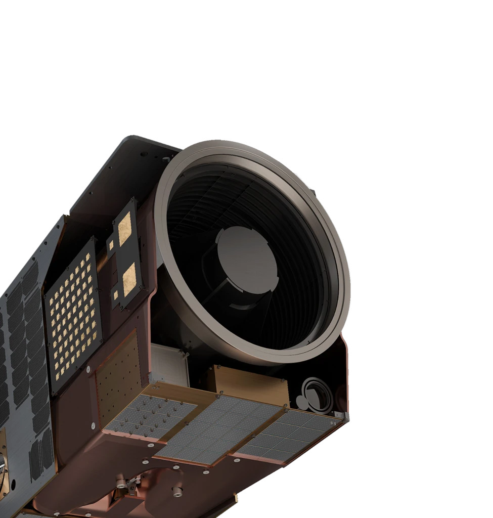
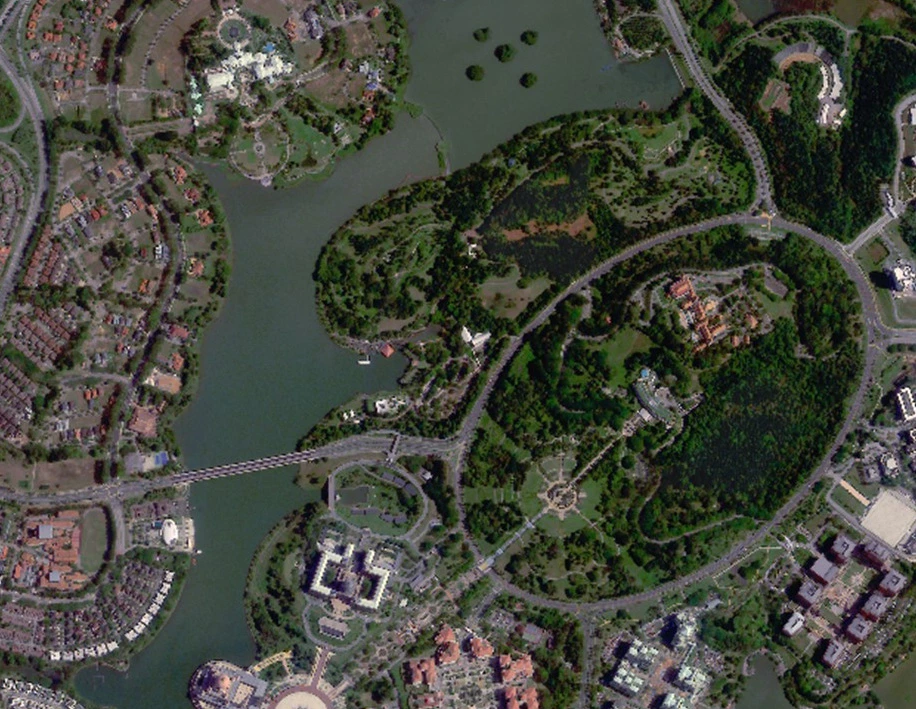
UzmaSAT-1 delivers high spatial resolution optical imagery with frequent revisits throughout the day. With the satellite operational in orbit, Geospatial AI is expanding its reach across agriculture, energy, infrastructure and environmental monitoring.
UZMASAT-1 specifications
- Mass: 45.4 kg.
- Dimensions: 508 mm × 575 mm × 813 mm.
- Average operating altitude: 460–525 km.
- Multispectral camera with sub-meter GSD and 6.5 km swath.
- Resolution: up to 50 cm.
Spectral bands
- Blue: 450–517 nm.
- Green: 517–583 nm.
- Red: 597–690 nm.
- Near-infrared: 759–890 nm.
Every image on this page (7)




Read the source text from this page
G A M E C H A N G E R
A major milestone was achieved with the successful launch of UzmaSAT-1 on January 15, 2025, aboard SpaceX’s Falcon 9 Transporter-12 from Vandenberg Space Force Base. UzmaSAT-1 delivers high spatial resolution optical imagery with frequent revisits throughout the day.
With the satellite now operational in orbit, we are expanding our reach and opening new opportunities for geospatial intelligence across various sectors and industries that rely on satellite-based insights such as agriculture, energy, infrastructure, and environmental monitoring.
UZMASAT-1 SPECIFICATIONS
45.4kg
MASS
508mm x 575mm x 813mm
DIMENSIONS
460km – 525km
AVERAGE OPERATION
Multispectral camera with sub-meter
GSD and 6.5km swath
Up to 50cm Resolution
Wavelengths:
Blue: 450-517 nm
Green: 517-583 nm
Read: 597-690 nm
Near-IR: 759-890 nm
Page 04 of 12
Advanced satellite features
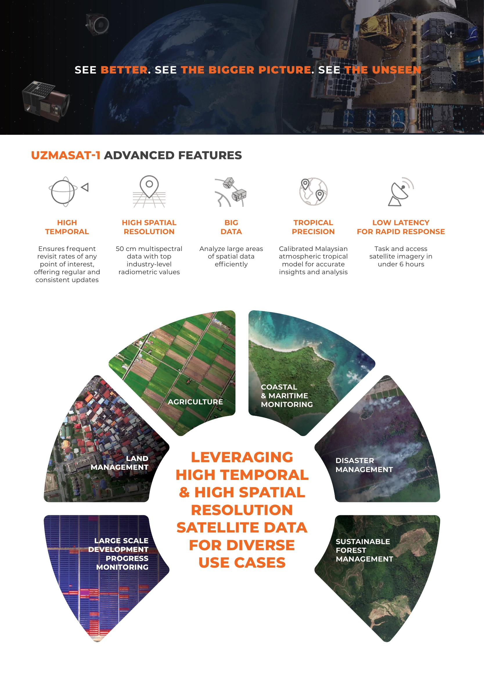
High temporal and high spatial resolution satellite data for diverse use cases.
Advanced features
- High temporal: frequent revisits of points of interest for regular, consistent updates.
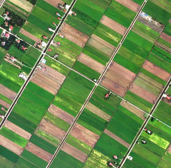
- High spatial resolution: 50 cm multispectral data with top industry-level radiometric values.
- Big data: efficient analysis of large areas of spatial data.
- Tropical precision: a calibrated Malaysian atmospheric tropical model for accurate insights and analysis.
- Low latency for rapid response: task and access satellite imagery in under 6 hours.
Applications
- Agriculture
- Coastal & maritime monitoring
- Disaster management
- Sustainable forest management
- Large-scale development progress monitoring
- Land management
Every image on this page (15)










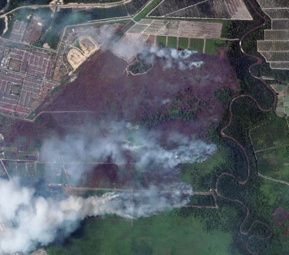
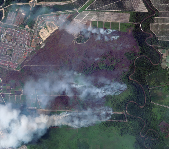




Read the source text from this page
UZMASAT-1 ADVANCED FEATURES
LEVERAGING HIGH TEMPORAL
& HIGH SPATIAL
RESOLUTION SATELLITE DATA
FOR DIVERSE
USE CASES
Ensures frequent revisit rates of any
point of interest, offering regular and
consistent updates
HIGH TEMPORAL
50 cm multispectral data with top industry-level radiometric values
HIGH SPATIAL
RESOLUTION
Analyze large areas
of spatial data
efficiently
BIG DATA
Calibrated Malaysian atmospheric tropical
model for accurate insights and analysis
TROPICAL PRECISION
Task and access satellite imagery in
under 6 hours
LOW LATENCY FOR RAPID RESPONSE
SEE BETTER. SEE THE BIGGER PICTURE. SEE THE UNSEEN
LARGE SCALE DEVELOPMENT
PROGRESS MONITORING
LAND MANAGEMENT
AGRICULTURE
COASTAL & MARITIME MONITORING
DISASTER MANAGEMENT
SUSTAINABLE FOREST MANAGEMENT
Page 05 of 12
Agriculture management
Transforming agriculture through space and data.
Agriculture management
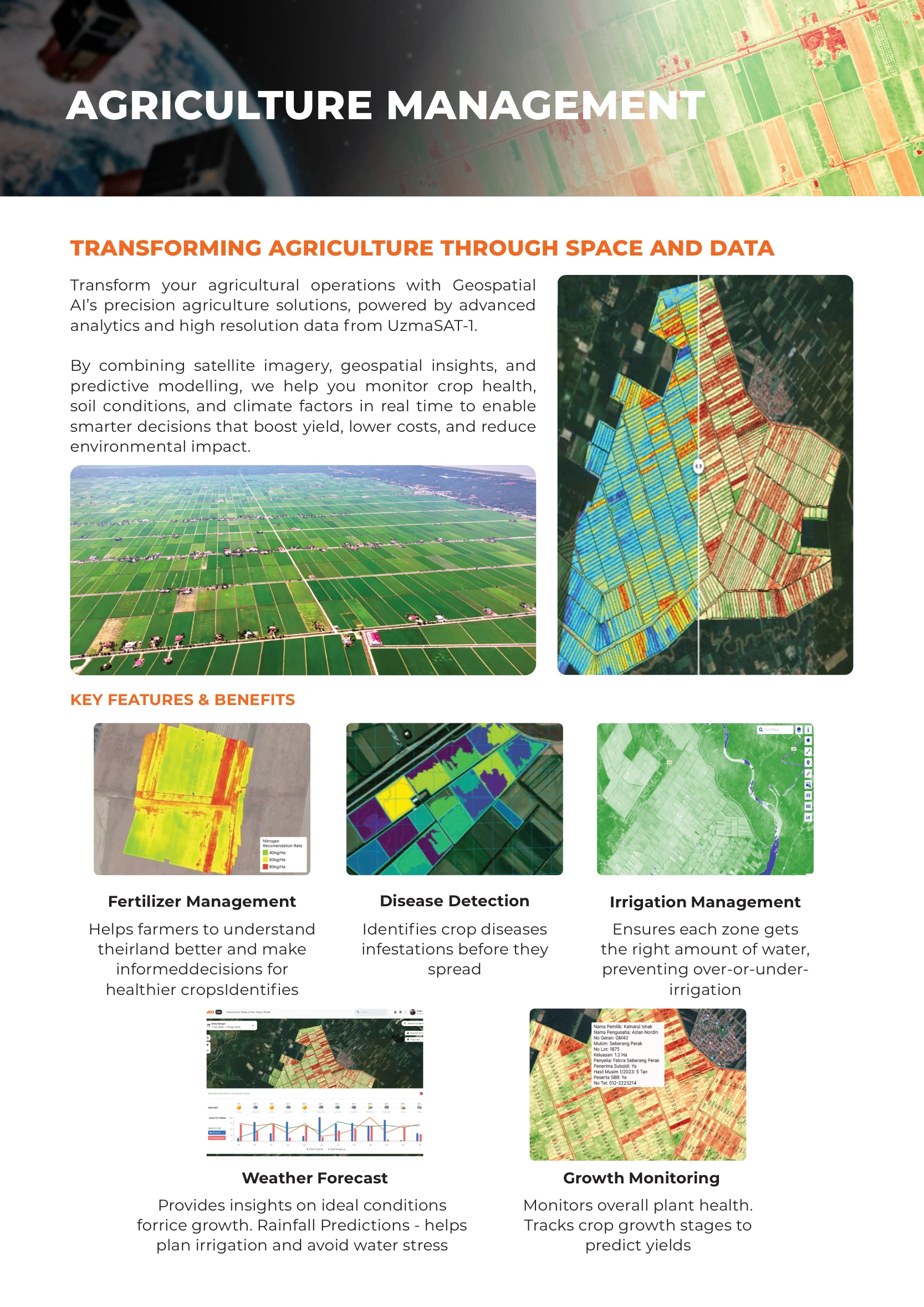
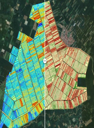
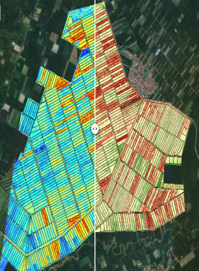
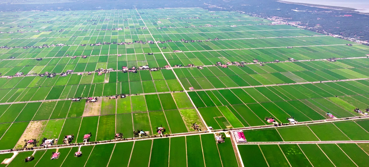
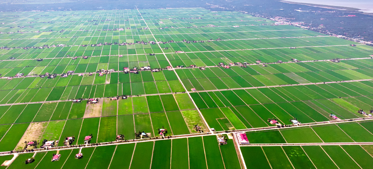
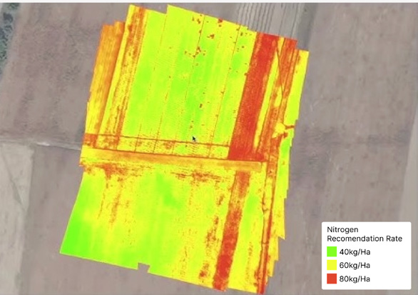
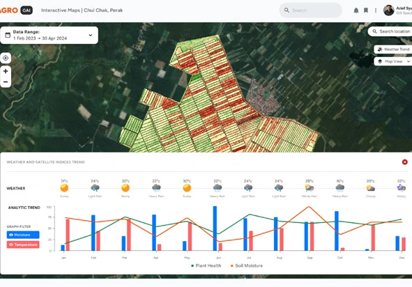
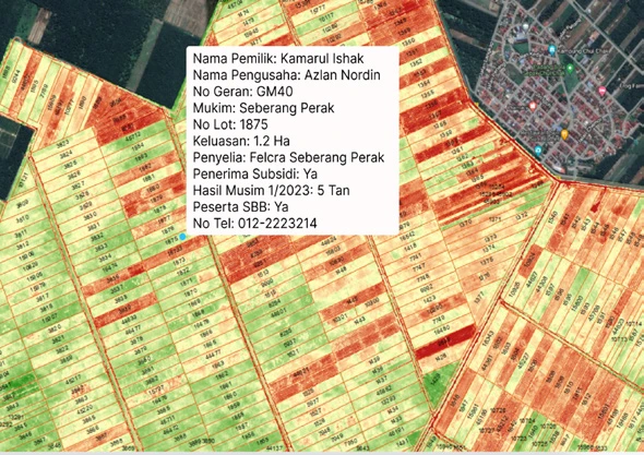
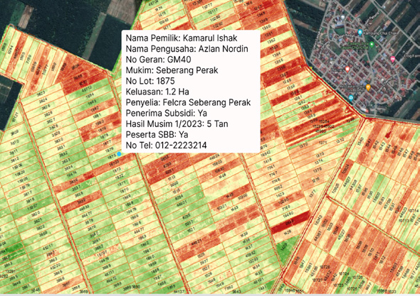
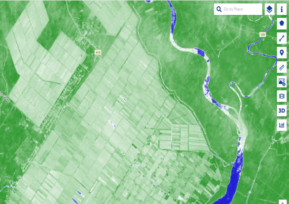
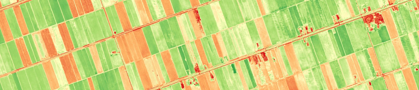
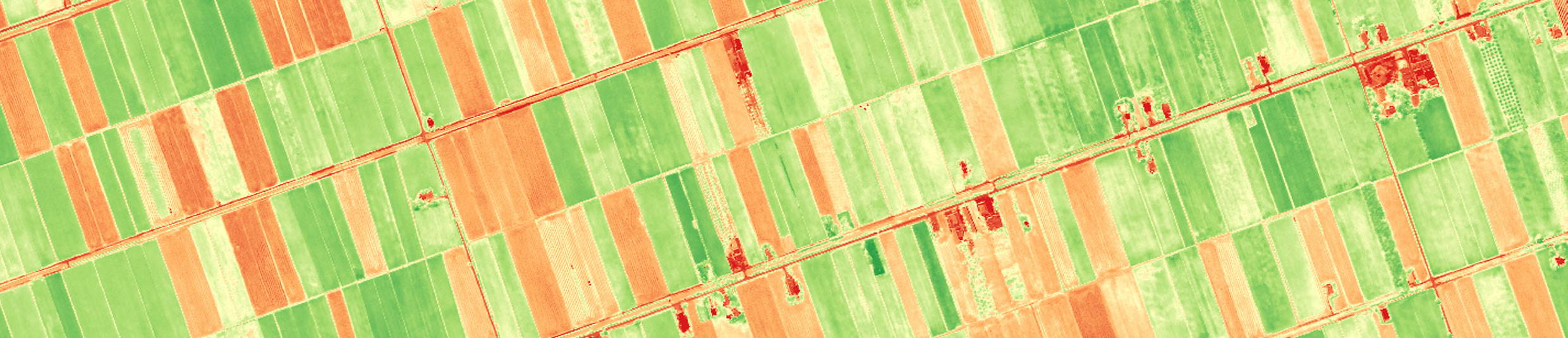
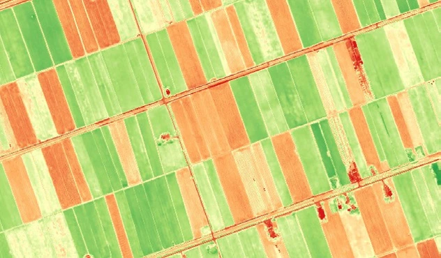
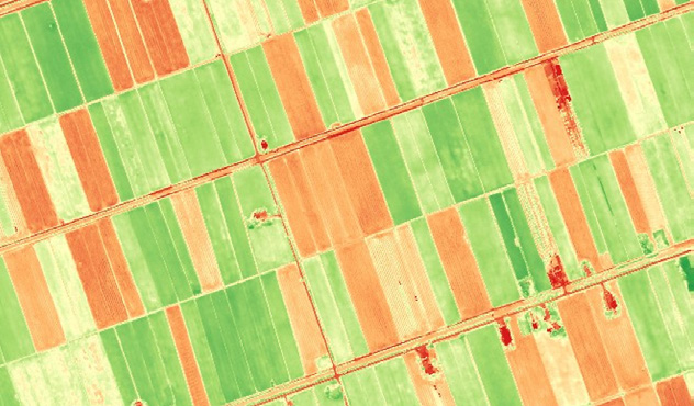
Transform your agricultural operations with Geospatial AI’s precision agriculture solutions, powered by advanced analytics and high-resolution data from UzmaSAT-1. Satellite imagery, geospatial insights and predictive modelling help monitor crop health, soil conditions and climate factors in real time, enabling decisions that boost yield, lower costs and reduce environmental impact.
Key features & benefits
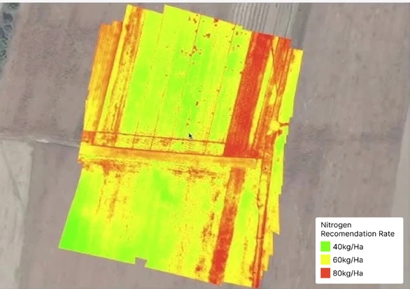
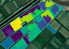
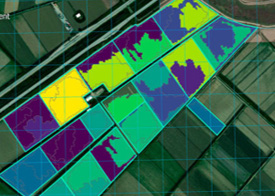
- Fertilizer management: understand land conditions and make informed decisions for healthier crops.
- Disease detection: identify crop diseases and infestations before they spread.
- Irrigation management: provide each zone with the right amount of water, preventing over- or under-irrigation.
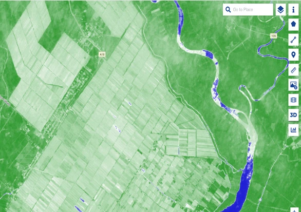
- Weather forecast: understand conditions for rice growth and use rainfall predictions to plan irrigation and avoid water stress.
- Growth monitoring: monitor plant health and crop growth stages to predict yields.
Every image on this page (9)
Read the source text from this page
KEY FEATURES & BENEFITS
TRANSFORMING AGRICULTURE THROUGH SPACE AND DATA
Fertilizer Management Disease Detection Irrigation Management
Weather Forecast Growth Monitoring
Transform your agricultural operations with Geospatial AI’s precision agriculture solutions, powered by advanced analytics and high resolution data from UzmaSAT-1.
By combining satellite imagery, geospatial insights, and predictive modelling, we help you monitor crop health, soil conditions, and climate factors in real time to enable smarter decisions that boost yield, lower costs, and reduce environmental impact.
Helps farmers to understand
theirland better and make
informeddecisions for healthier cropsIdentifies
Provides insights on ideal conditions forrice growth. Rainfall Predictions - helps
plan irrigation and avoid water stress
Monitors overall plant health.
Tracks crop growth stages to
predict yields
Identifies crop diseases infestations before they
spread
Ensures each zone gets the right amount of water,
preventing over-or-under-
irrigation
AGRICULTURE MANAGEMENT
Page 06 of 12
Plantation management
Plantation management for a sustainable future.
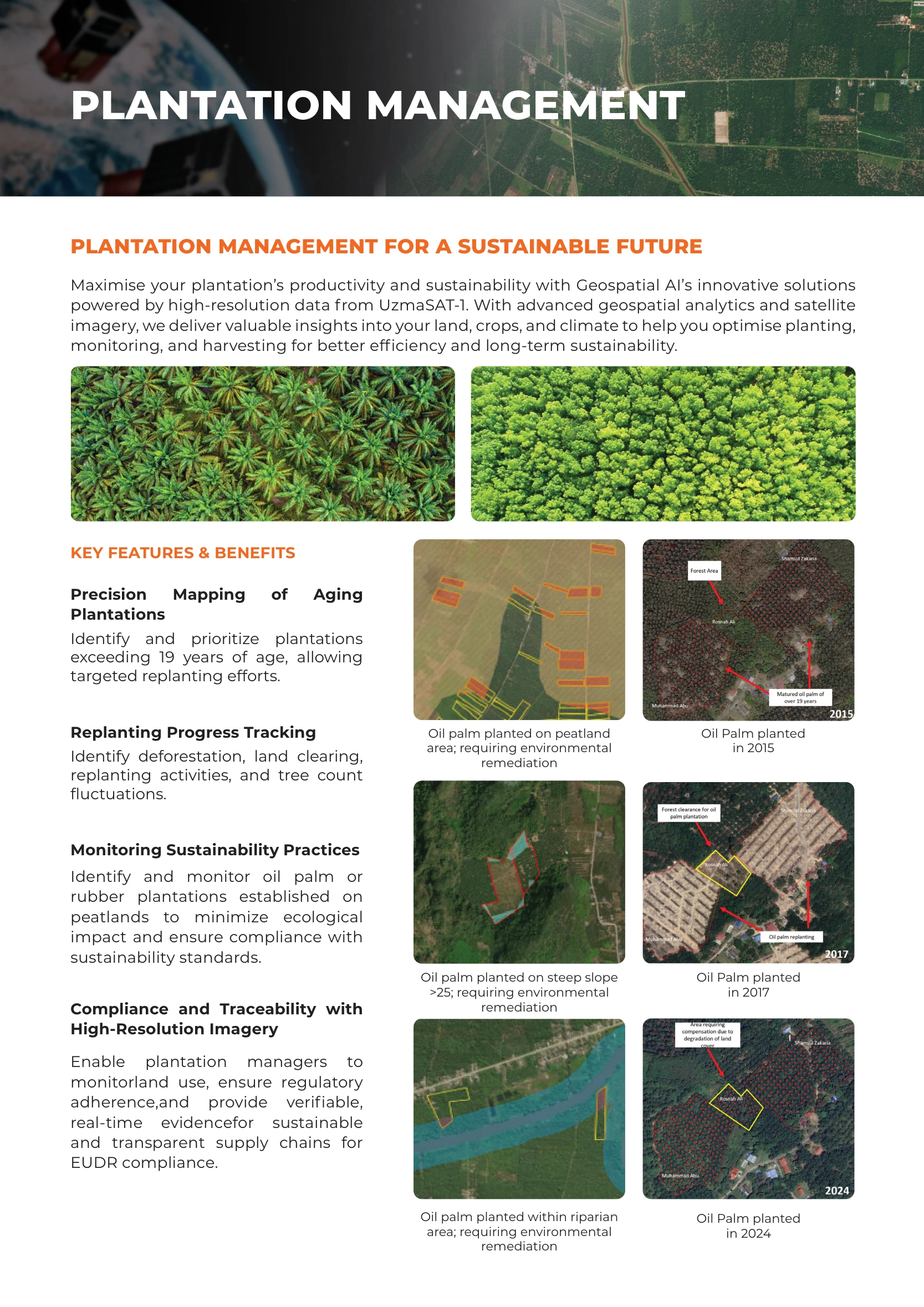
Productivity and sustainability
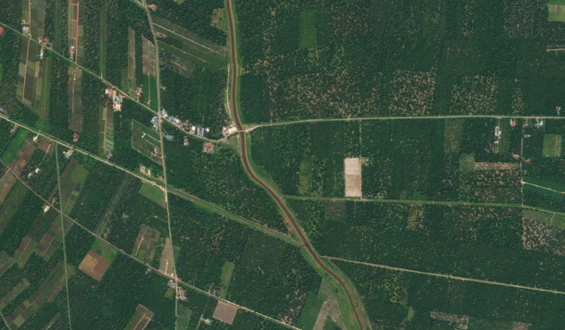
High-resolution data from UzmaSAT-1, geospatial analytics and satellite imagery provide insights into land, crops and climate. Optimise planting, monitoring and harvesting for better efficiency and long-term sustainability.
Key features & benefits
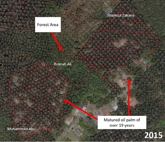
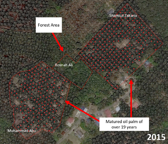
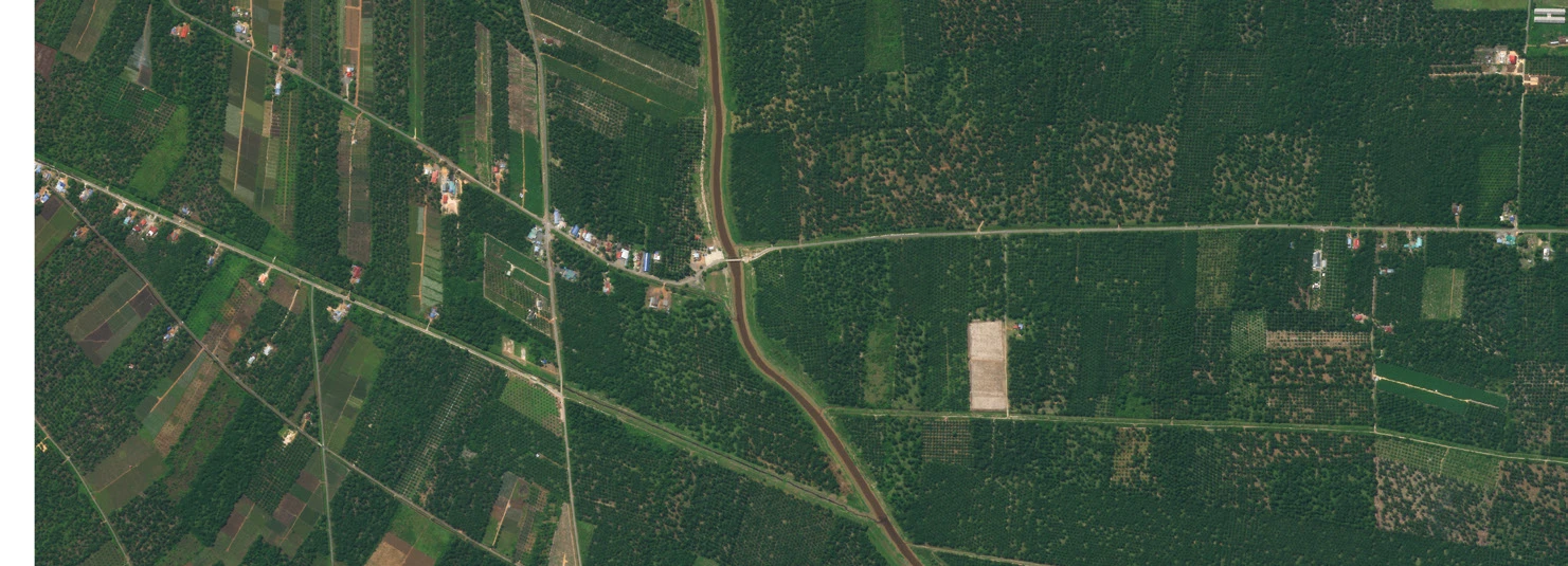
- Precision mapping of aging plantations: identify and prioritise plantations exceeding 19 years of age for targeted replanting.
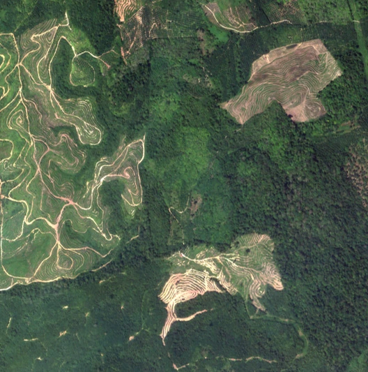
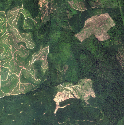
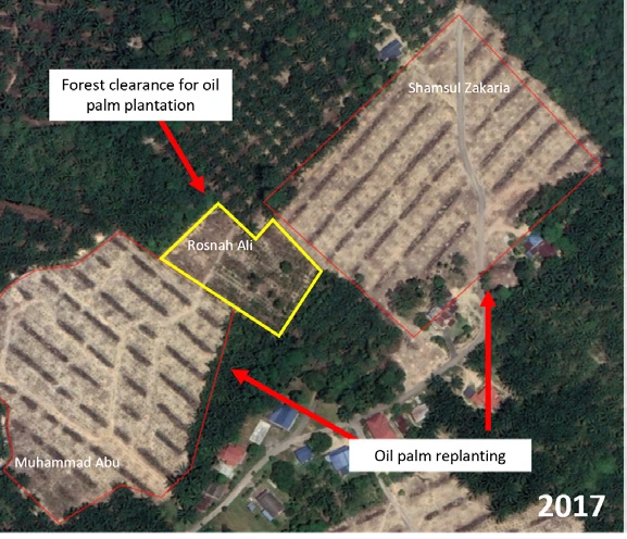
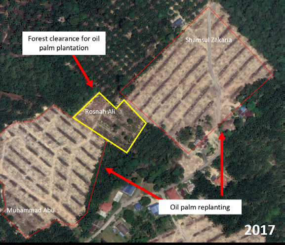
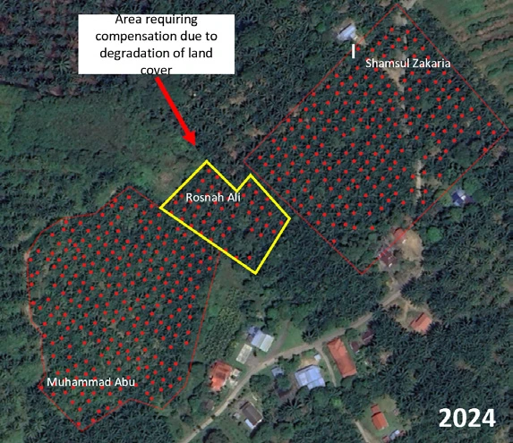
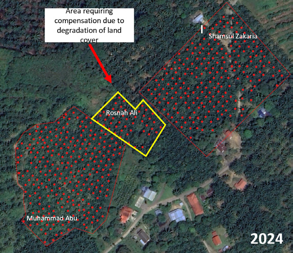
- Replanting progress tracking: identify deforestation, land clearing, replanting activities and tree-count fluctuations.
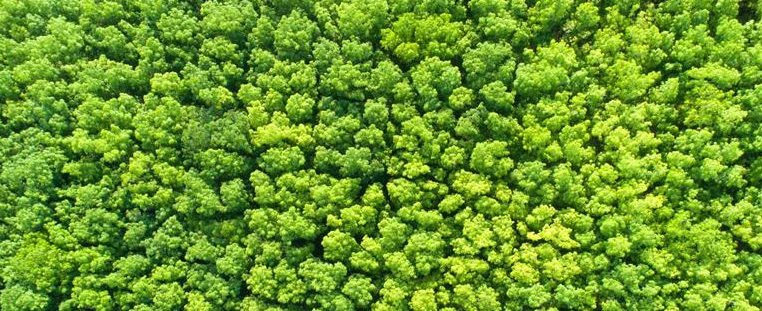
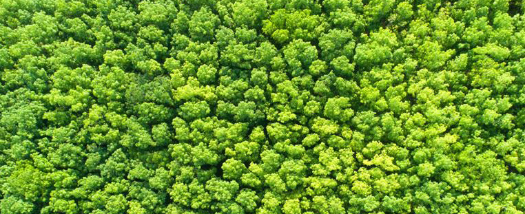
- Monitoring sustainability practices: identify and monitor oil palm or rubber plantations on peatlands to minimise ecological impact and support sustainability standards.
- Compliance and traceability with high-resolution imagery: monitor land use and provide verifiable, real-time evidence for sustainable, transparent supply chains and EUDR compliance.
Examples in the imagery
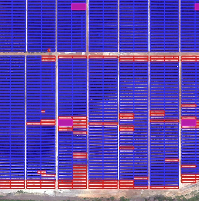
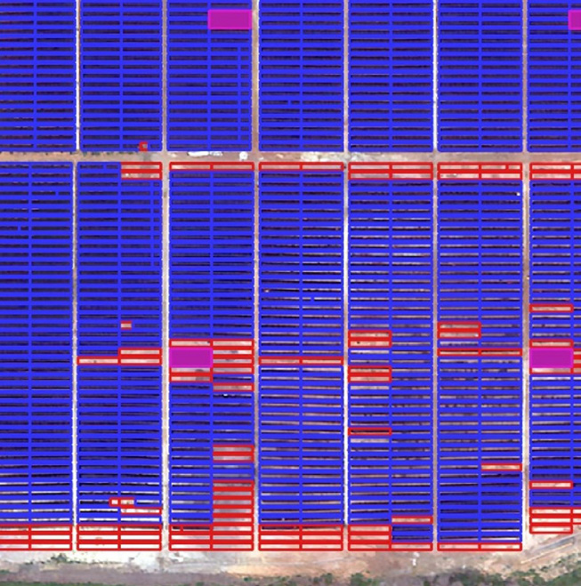
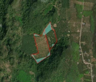
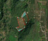
- Oil palm on peatland requiring environmental remediation.
- Oil palm on steep slopes above 25, as labelled in the brochure, requiring environmental remediation.
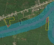
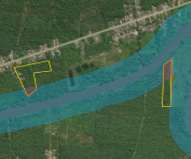
- Oil palm within riparian areas requiring environmental remediation.
- Comparison imagery showing oil palm planted in 2015, 2017 and 2024.
Every image on this page (11)




Read the source text from this page
PLANTATION MANAGEMENT FOR A SUSTAINABLE FUTURE
KEY FEATURES & BENEFITS
Maximise your plantation’s productivity and sustainability with Geospatial AI’s innovative solutions powered by high-resolution data from UzmaSAT-1. With advanced geospatial analytics and satellite imagery, we deliver valuable insights into your land, crops, and climate to help you optimise planting, monitoring, and harvesting for better efficiency and long-term sustainability.
Identify and monitor oil palm or rubber plantations established on peatlands to minimize ecological impact and ensure compliance with sustainability standards.
Enable plantation managers to monitorland use, ensure regulatory adherence,and provide verifiable, real-time evidencefor sustainable and transparent supply chains for EUDR compliance.
Precision Mapping of Aging Plantations
Replanting Progress Tracking
Monitoring Sustainability Practices
Compliance and Traceability with High-Resolution Imagery
PLANTATION MANAGEMENT
Identify and prioritize plantations exceeding 19 years of age, allowing targeted replanting efforts.
Oil palm planted on peatland area; requiring environmental
remediation
Oil palm planted on steep slope
>25; requiring environmental
remediation
Oil palm planted within riparian
area; requiring environmental
remediation
Oil Palm planted
in 2015
Oil Palm planted
in 2017
Oil Palm planted
in 2024
Identify deforestation, land clearing, replanting activities, and tree count fluctuations.
Page 07 of 12
Urban planning and development
Build smarter cities with geospatial intelligence.
Infrastructure and urban planning
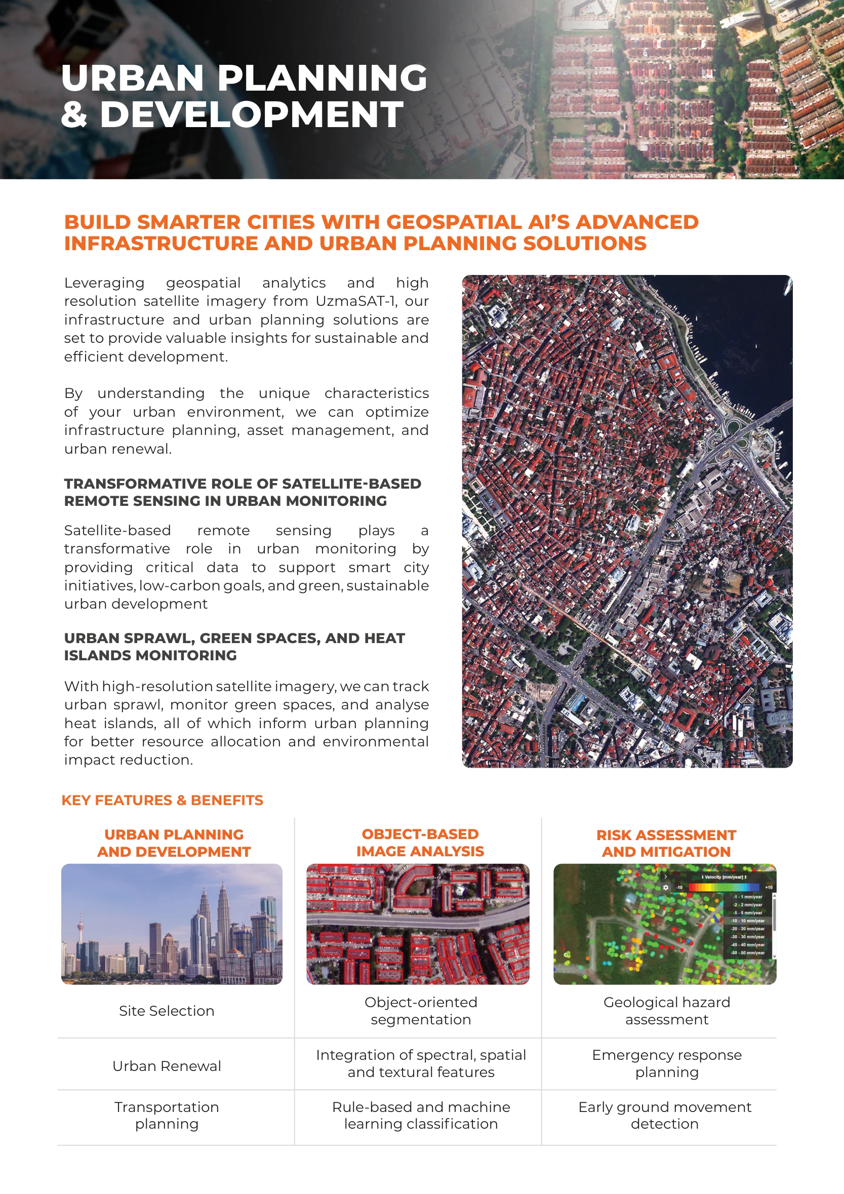
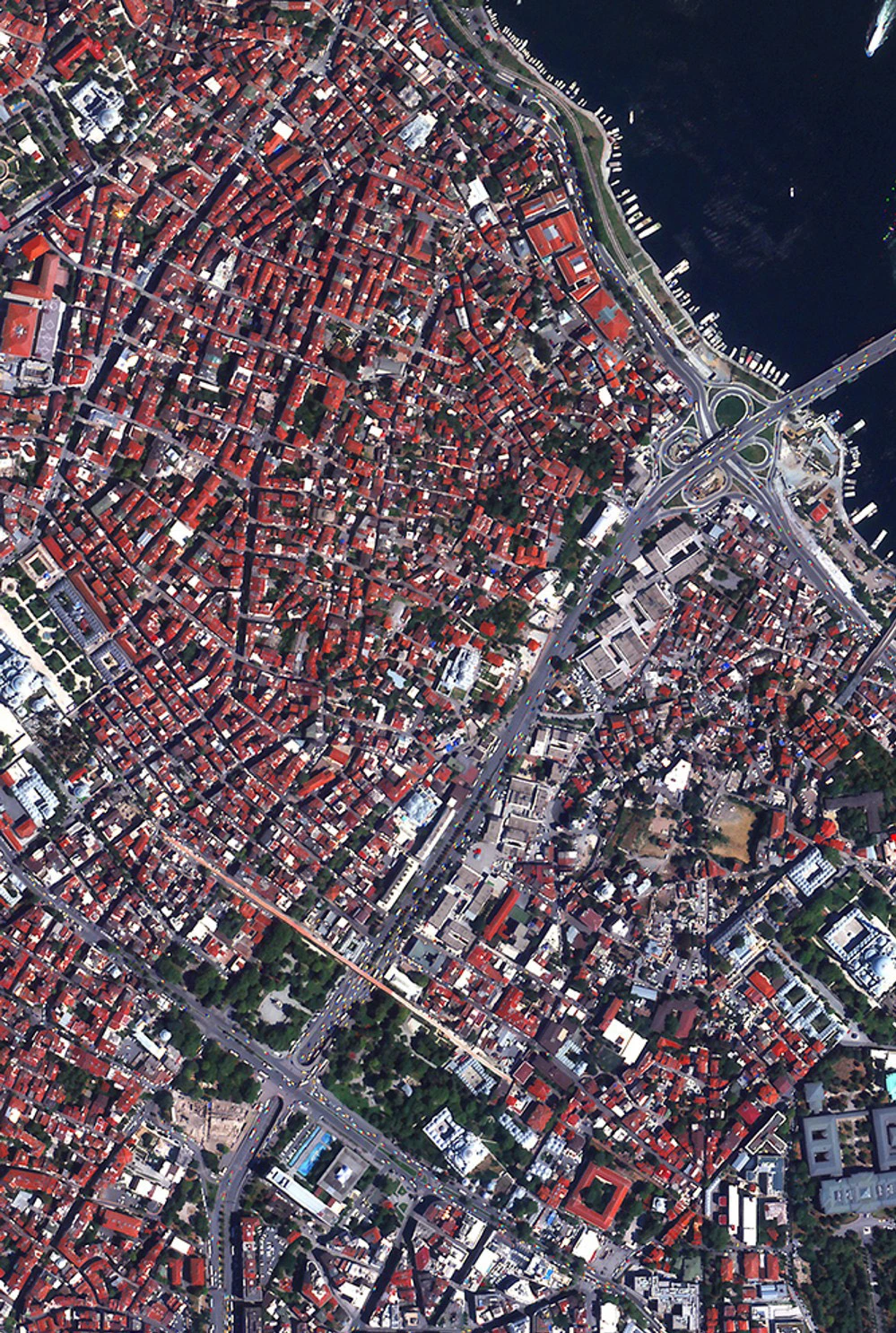
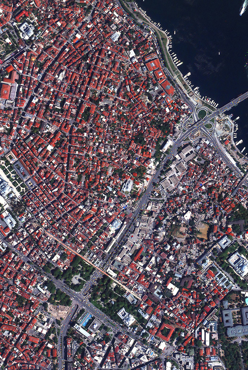
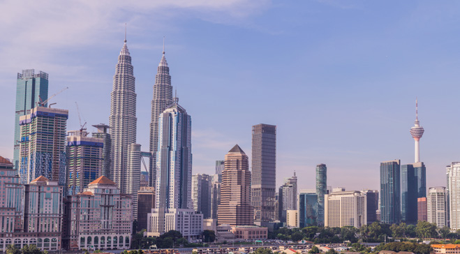
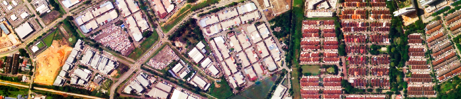
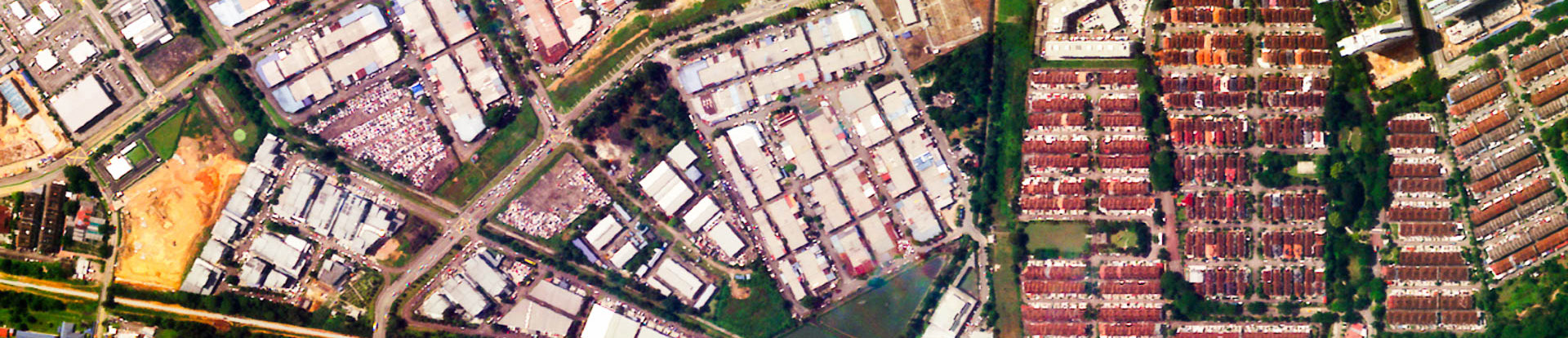
Geospatial analytics and high-resolution imagery from UzmaSAT-1 provide insights for sustainable and efficient development. Understanding urban environments supports infrastructure planning, asset management and urban renewal.
Urban monitoring
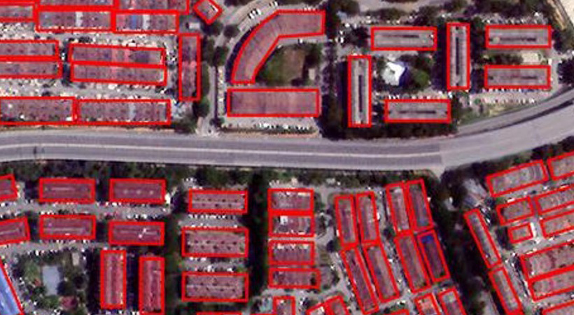
Satellite-based remote sensing supports smart-city initiatives, low-carbon goals and sustainable development. Track urban sprawl, green spaces and heat islands to inform resource allocation and reduce environmental impact.
Key features & benefits
- Urban planning and development: site selection, urban renewal and transportation planning.
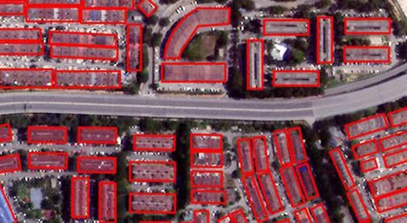
- Object-based image analysis: object-oriented segmentation; integration of spectral, spatial and textural features; rule-based and machine-learning classification.
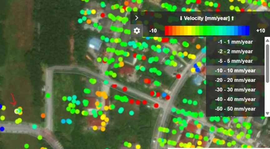
- Risk assessment and mitigation: geological hazard assessment, emergency response planning and early ground movement detection.
Every image on this page (7)
Read the source text from this page
TRANSFORMATIVE ROLE OF SATELLITE-BASED REMOTE SENSING IN URBAN MONITORING
URBAN SPRAWL, GREEN SPACES, AND HEAT ISLANDS MONITORING
BUILD SMARTER CITIES WITH GEOSPATIAL AI’S ADVANCED INFRASTRUCTURE AND URBAN PLANNING SOLUTIONS
Leveraging geospatial analytics and high resolution satellite imagery from UzmaSAT-1, our infrastructure and urban planning solutions are set to provide valuable insights for sustainable and efficient development.
By understanding the unique characteristics of your urban environment, we can optimize infrastructure planning, asset management, and urban renewal.
Satellite-based remote sensing plays a transformative role in urban monitoring by providing critical data to support smart city initiatives, low-carbon goals, and green, sustainable urban development
With high-resolution satellite imagery, we can track urban sprawl, monitor green spaces, and analyse heat islands, all of which inform urban planning for better resource allocation and environmental impact reduction.
URBAN PLANNING & DEVELOPMENT
KEY FEATURES & BENEFITS
URBAN PLANNING AND DEVELOPMENT
OBJECT-BASED IMAGE ANALYSIS
RISK ASSESSMENT
AND MITIGATION
Geological hazard
assessment Object-oriented
segmentation Site Selection
Emergency response
planning
Early ground movement
detection
Integration of spectral, spatial
and textural features
Rule-based and machine
learning classification
Urban Renewal
Transportation
planning
Page 08 of 12
Environmental monitoring
Integrated environmental monitoring using satellite technology.
Environmental intelligence
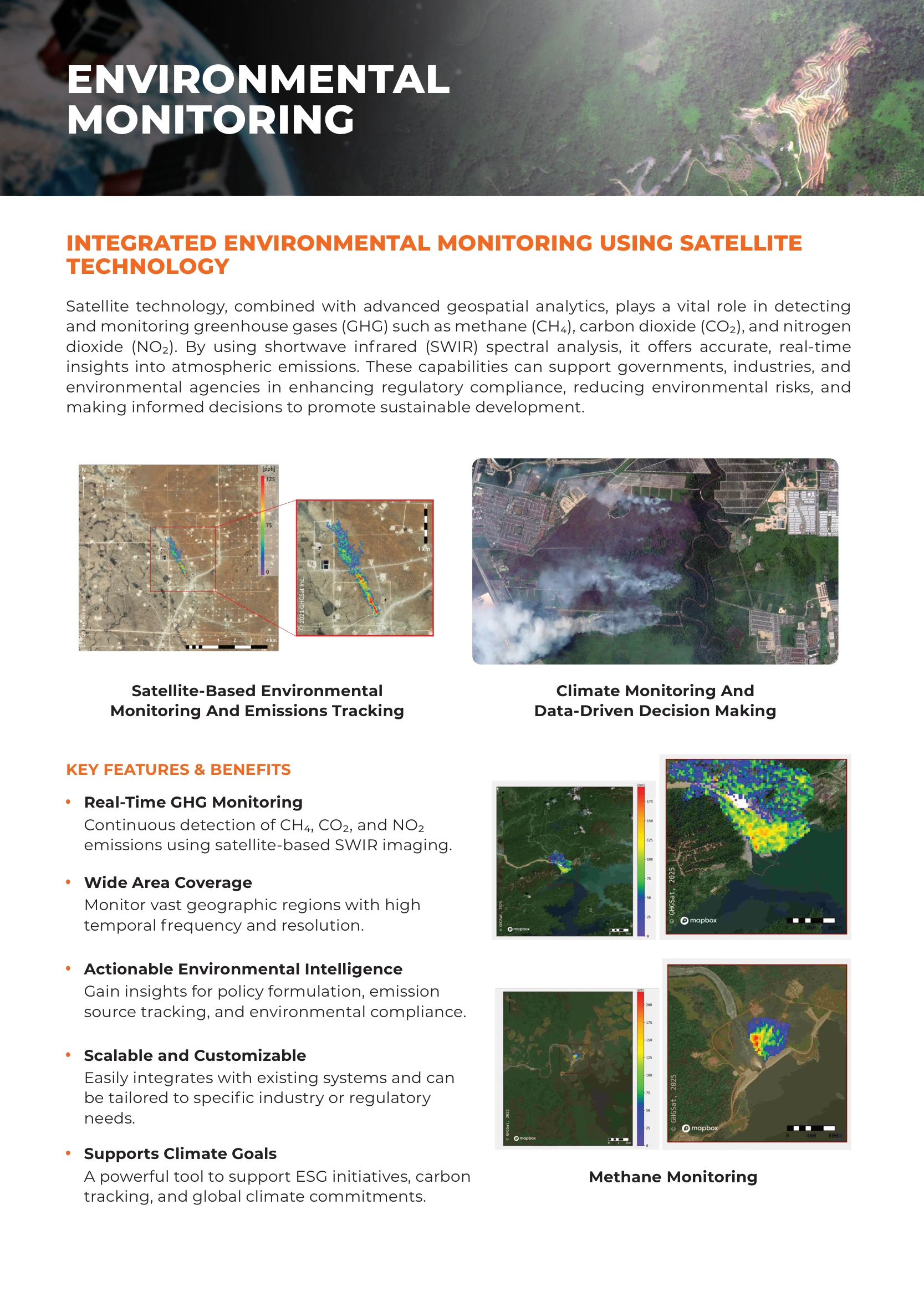
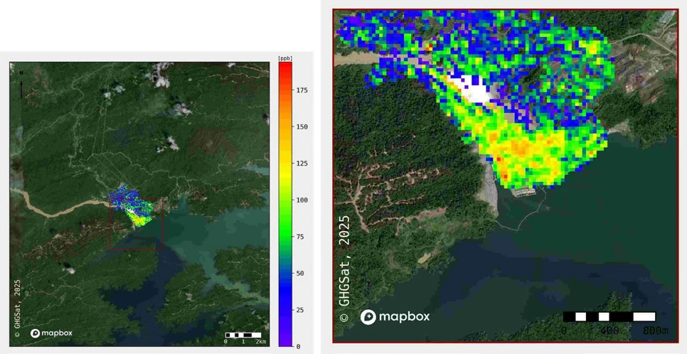
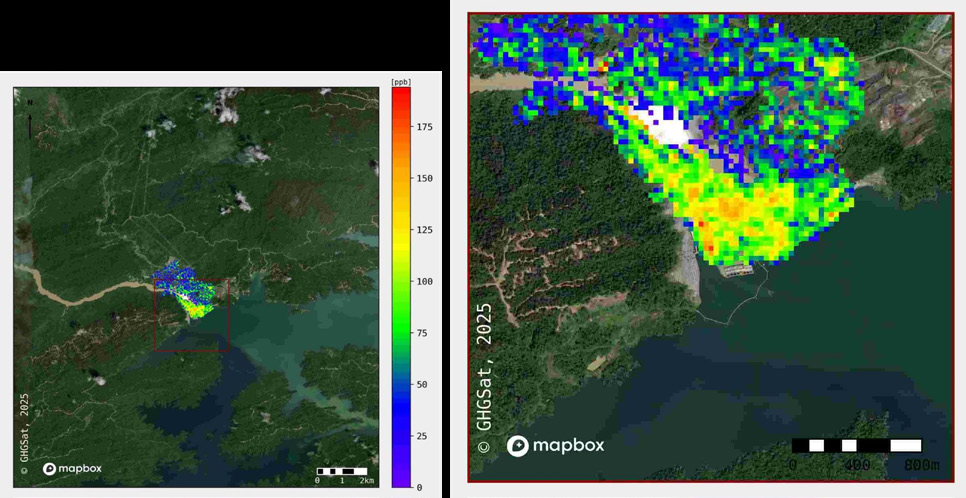
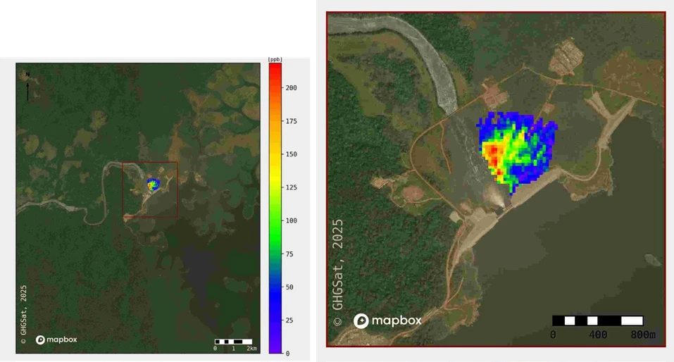
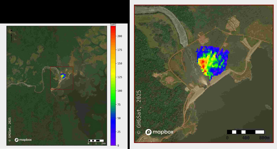
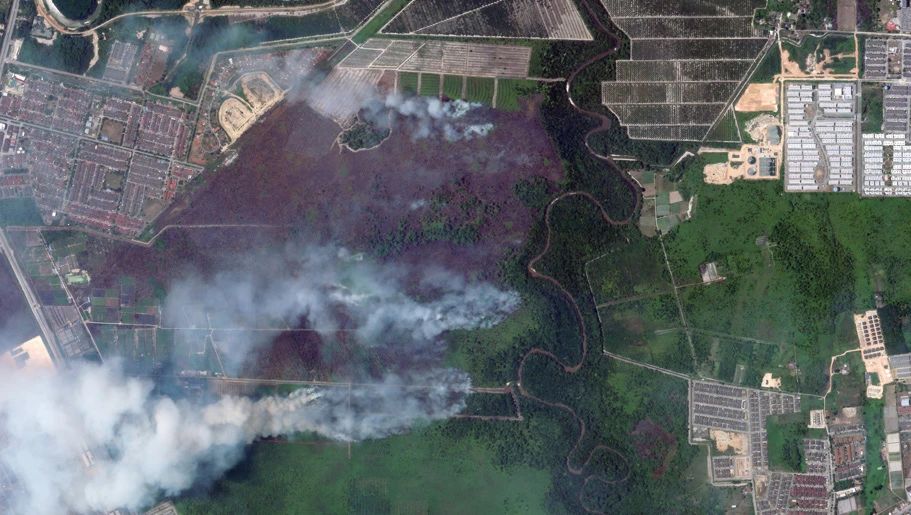
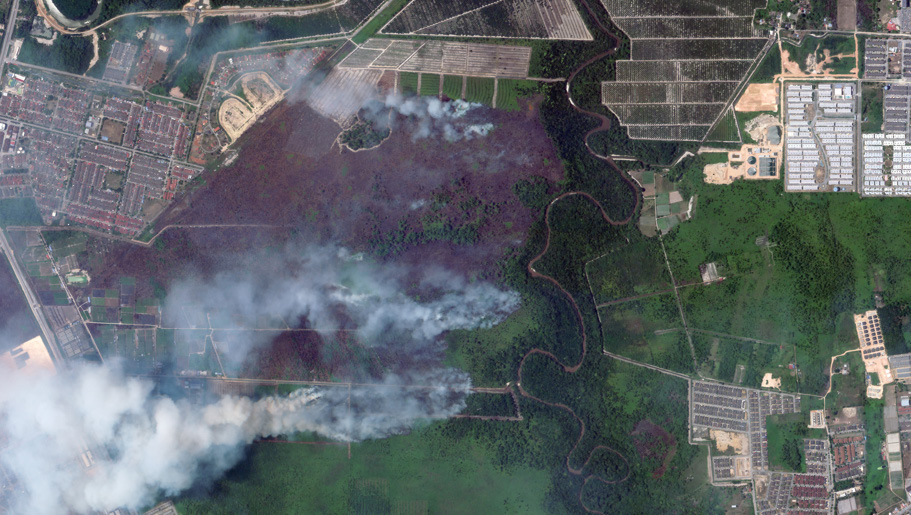
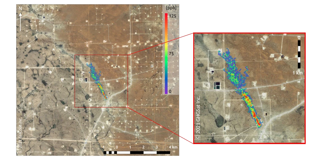
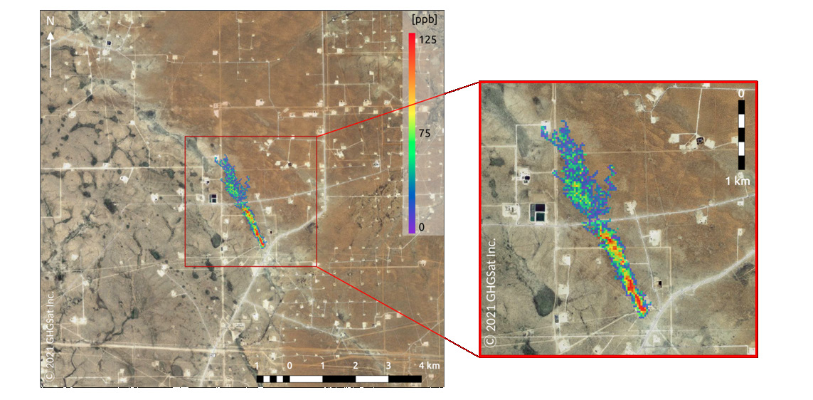
Satellite technology and geospatial analytics support detection and monitoring of methane (CH₄), carbon dioxide (CO₂) and nitrogen dioxide (NO₂). The brochure describes satellite-based shortwave infrared (SWIR) spectral analysis for atmospheric emissions, supporting governments, industry and environmental agencies.
Key features & benefits
- Real-time GHG monitoring: continuous detection of CH₄, CO₂ and NO₂ emissions using satellite-based SWIR imaging.
- Wide-area coverage: monitor large geographic regions with high temporal frequency and resolution.
- Actionable environmental intelligence: support policy formulation, emission-source tracking and environmental compliance.
- Scalable and customisable: integrate with existing systems and tailor to industry or regulatory requirements.
- Supports climate goals: ESG initiatives, carbon tracking and global climate commitments.
Illustrated applications
- Satellite-based environmental monitoring and emissions tracking.
- Climate monitoring and data-driven decision-making.
- Methane monitoring.
Every image on this page (6)
Read the source text from this page
ENVIRONMENTAL MONITORING
INTEGRATED ENVIRONMENTAL MONITORING USING SATELLITE TECHNOLOGY
Satellite technology, combined with advanced geospatial analytics, plays a vital role in detecting and monitoring greenhouse gases (GHG) such as methane (CH₄), carbon dioxide (CO₂), and nitrogen dioxide (NO₂). By using shortwave infrared (SWIR) spectral analysis, it offers accurate, real-time insights into atmospheric emissions. These capabilities can support governments, industries, and environmental agencies in enhancing regulatory compliance, reducing environmental risks, and making informed decisions to promote sustainable development.
KEY FEATURES & BENEFITS
Real-Time GHG Monitoring
Methane Monitoring
Climate Monitoring And Data-Driven Decision Making Satellite-Based Environmental Monitoring And Emissions Tracking
Wide Area Coverage
Actionable Environmental Intelligence
Scalable and Customizable
Supports Climate Goals
Continuous detection of CH₄, CO₂, and NO₂ emissions using satellite-based SWIR imaging.
Monitor vast geographic regions with high temporal frequency and resolution.
Gain insights for policy formulation, emission source tracking, and environmental compliance.
Easily integrates with existing systems and can be tailored to specific industry or regulatory needs.
A powerful tool to support ESG initiatives, carbon tracking, and global climate commitments.
Page 09 of 12
Ground movement monitoring
Detect ground movement before its impacts become visible.
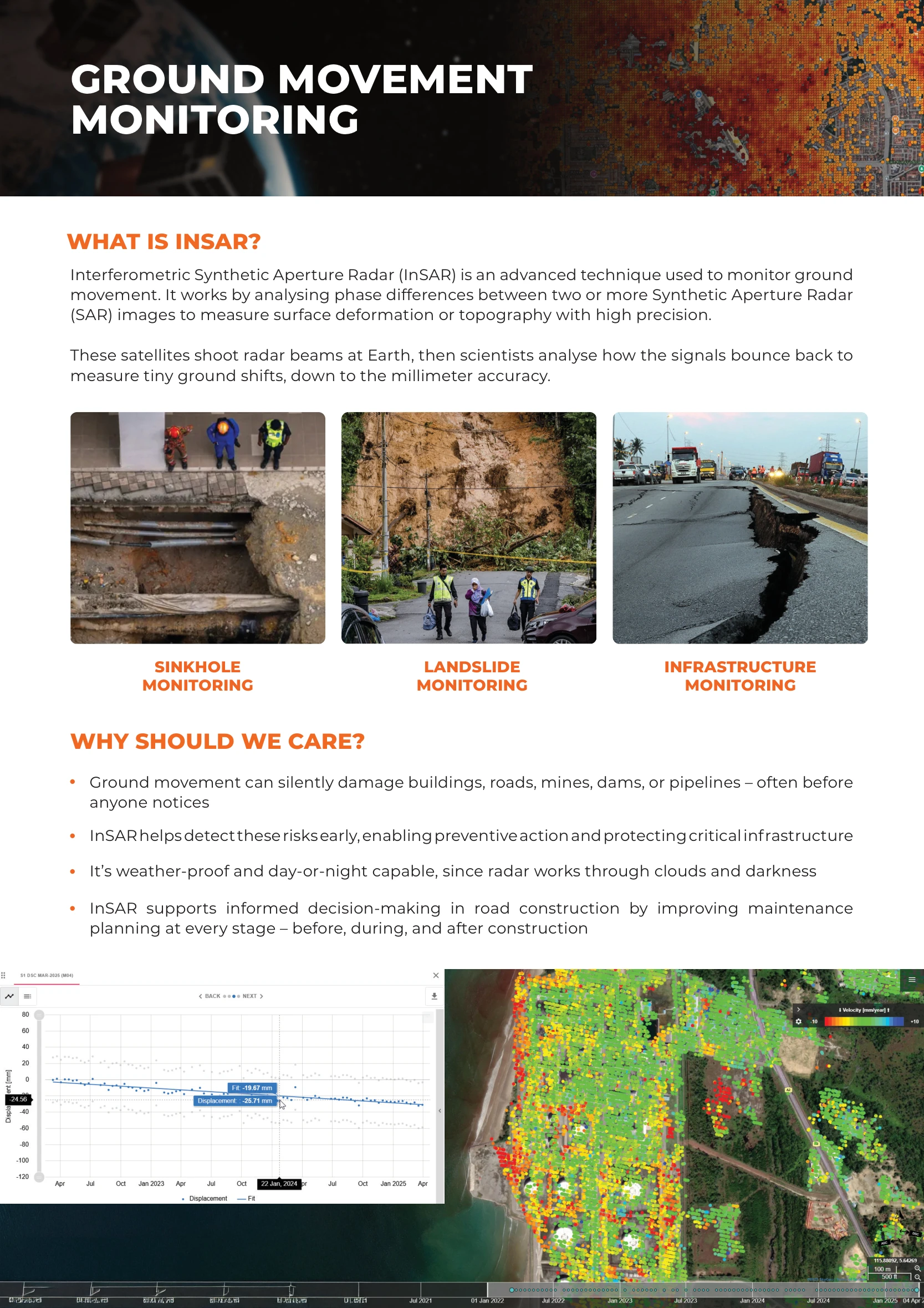
What is InSAR?
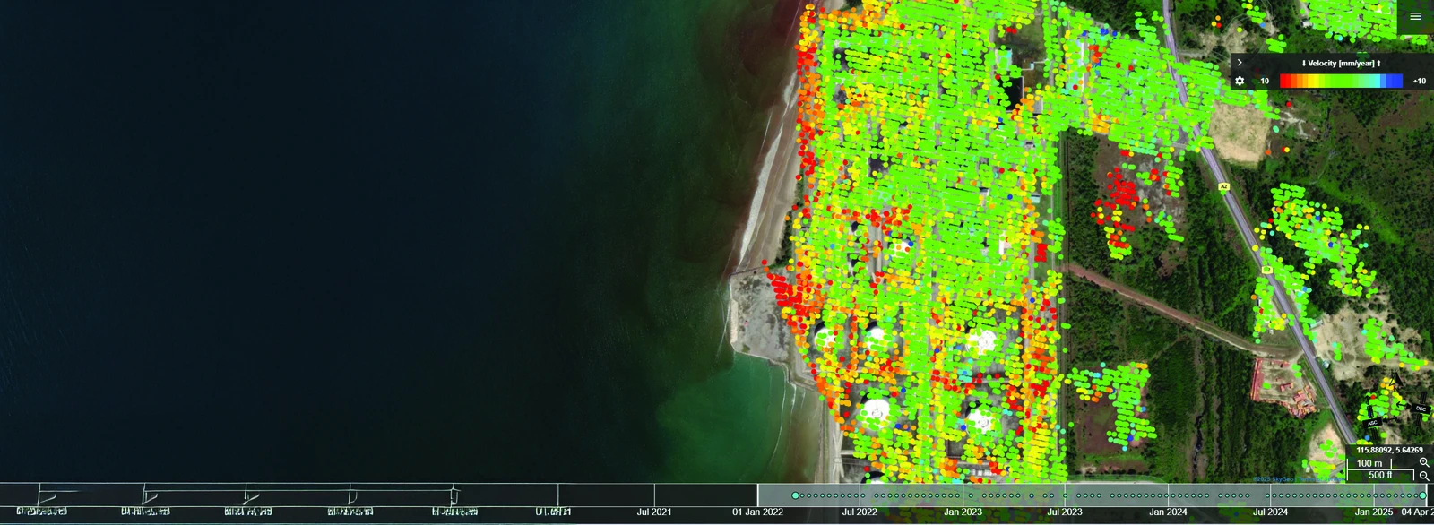
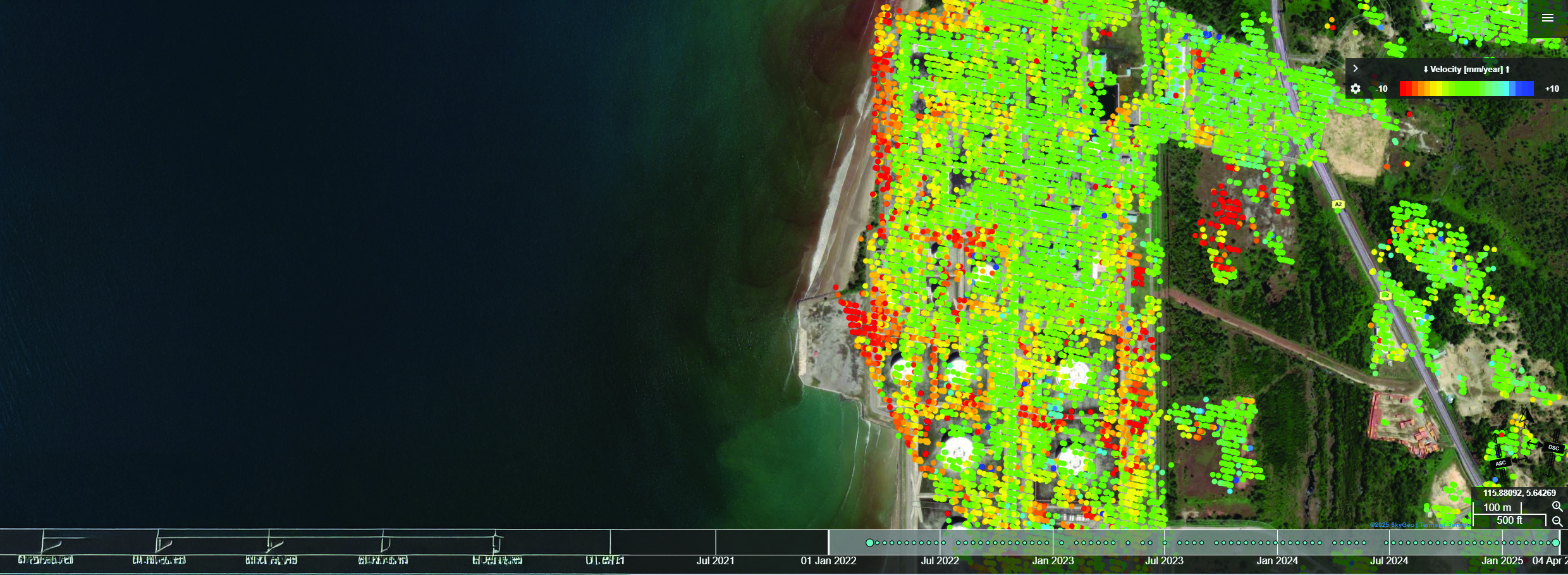
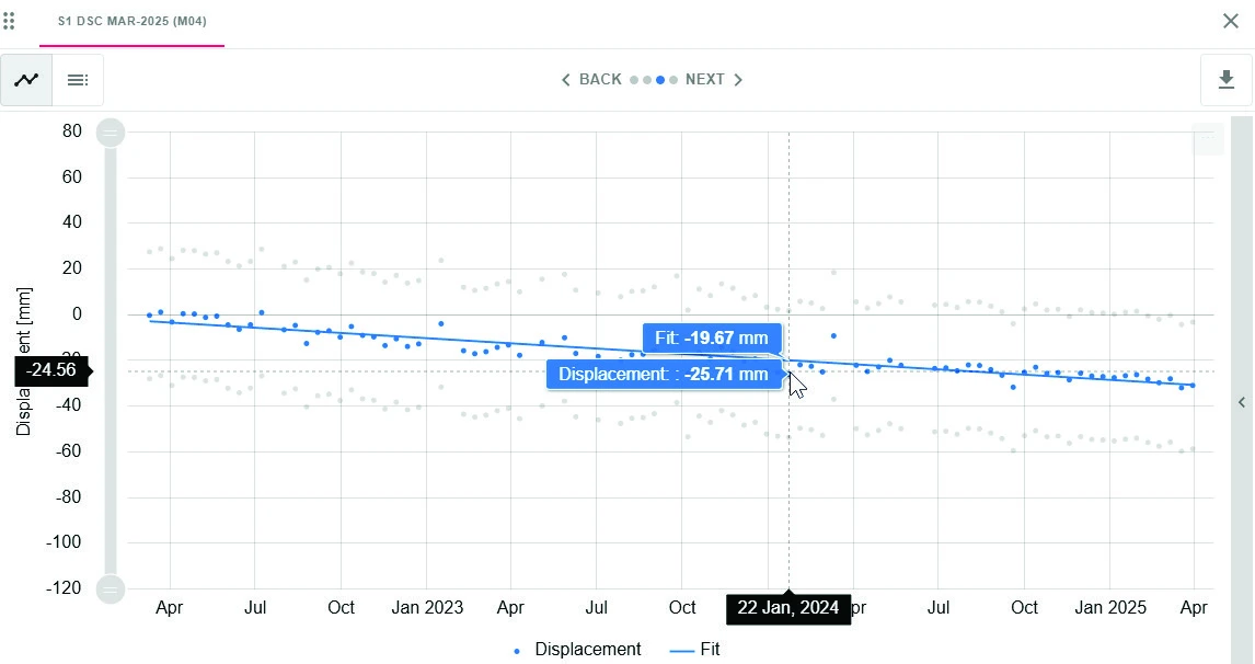
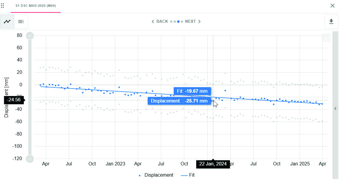
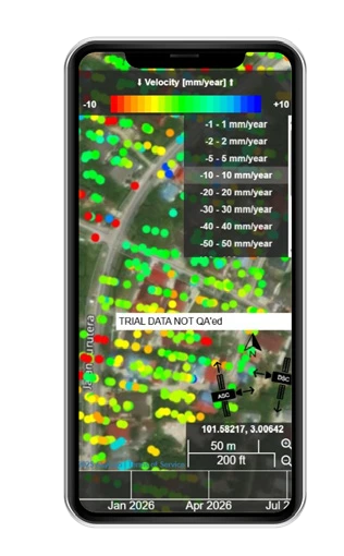
Interferometric Synthetic Aperture Radar (InSAR) analyses phase differences between two or more SAR images to measure surface deformation or topography. Radar signals reflected from Earth reveal ground shifts down to millimetre accuracy, as described in the brochure.
Why should we care?
- Ground movement can silently damage buildings, roads, mines, dams and pipelines before it is noticed.
- Early detection enables preventive action and protects critical infrastructure.
- Radar works through clouds and darkness, enabling day-and-night monitoring.
- InSAR supports maintenance planning before, during and after road construction.
Applications
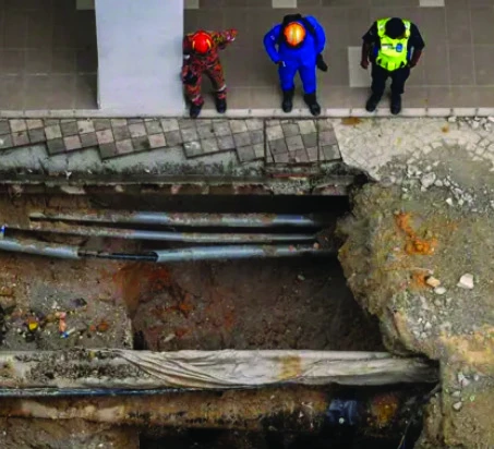
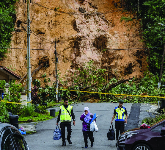
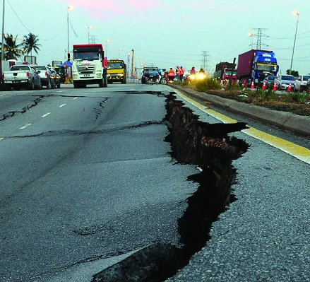
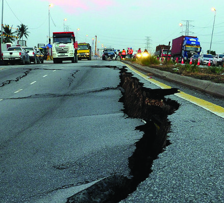
- Sinkhole monitoring
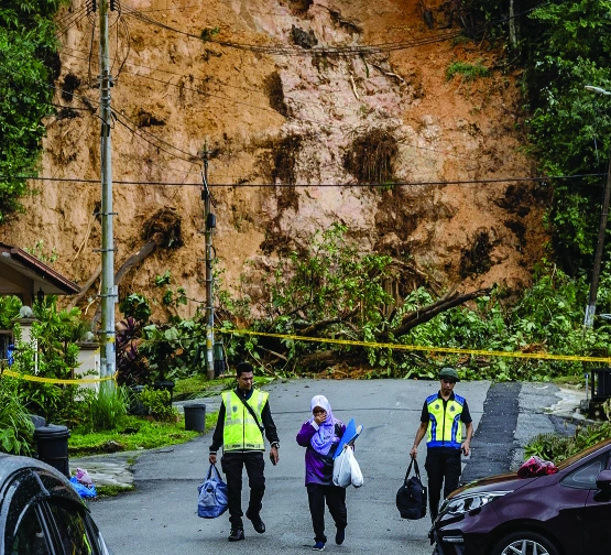
- Landslide monitoring
- Infrastructure monitoring
Every image on this page (8)




Read the source text from this page
GROUND MOVEMENT MONITORING
WHAT IS INSAR?
WHY SHOULD WE CARE?
Interferometric Synthetic Aperture Radar (InSAR) is an advanced technique used to monitor ground movement. It works by analysing phase differences between two or more Synthetic Aperture Radar (SAR) images to measure surface deformation or topography with high precision.
These satellites shoot radar beams at Earth, then scientists analyse how the signals bounce back to measure tiny ground shifts, down to the millimeter accuracy.
SINKHOLE MONITORING
LANDSLIDE MONITORING
INFRASTRUCTURE
MONITORING
Ground movement can silently damage buildings, roads, mines, dams, or pipelines – often before anyone notices
InSAR helps detect these risks early, enabling preventive action and protecting critical infrastructure
It’s weather-proof and day-or-night capable, since radar works through clouds and darkness
InSAR supports informed decision-making in road construction by improving maintenance planning at every stage – before, during, and after construction
Page 10 of 12
Defense and maritime
Command the sea from space. Fortify the defense with UZMASAT-1.
Defense & maritime
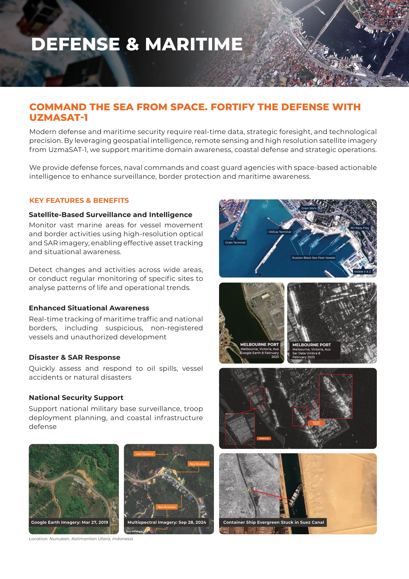
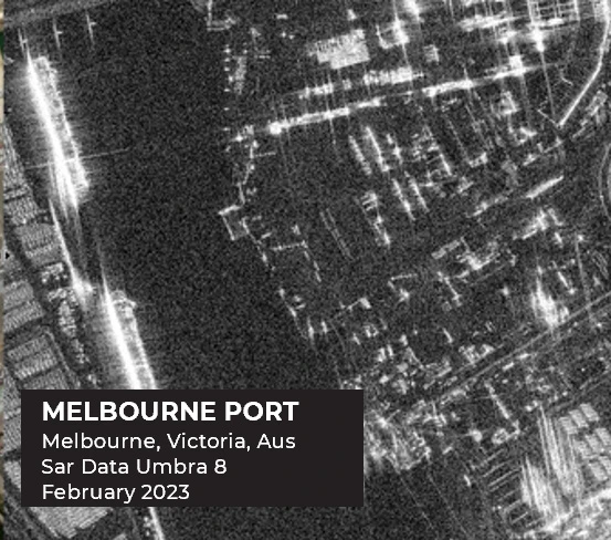
Geospatial intelligence, remote sensing and high-resolution imagery support maritime domain awareness, coastal defense and strategic operations. The service provides defense forces, naval commands and coast guard agencies with space-based intelligence for surveillance, border protection and maritime awareness.
Key features & benefits
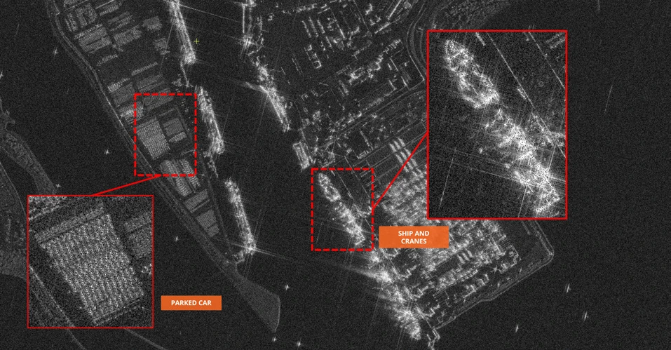
- Satellite-based surveillance and intelligence: optical and SAR imagery for vessel movement, border activities, asset tracking and situational awareness. Monitor changes, activities and patterns across broad areas or specific sites.
- Enhanced situational awareness: maritime traffic and national-border monitoring, including non-registered vessels and unauthorised development.
- Disaster & SAR response: assessment and response for oil spills, vessel accidents and natural disasters.
- National security support: military-base surveillance, deployment planning and coastal infrastructure defense.
Imagery examples
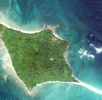
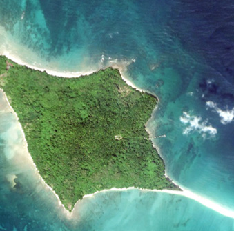
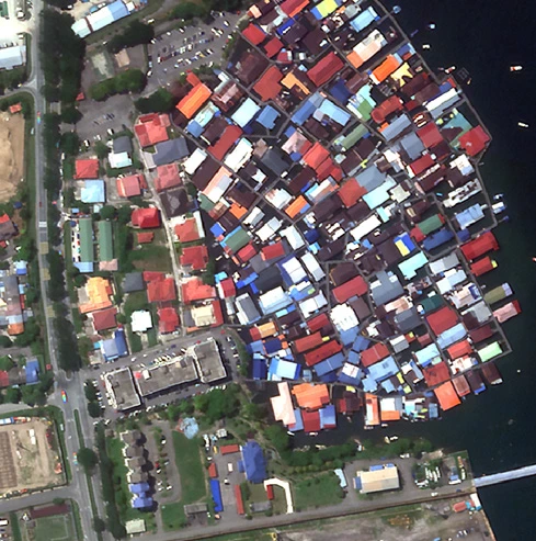
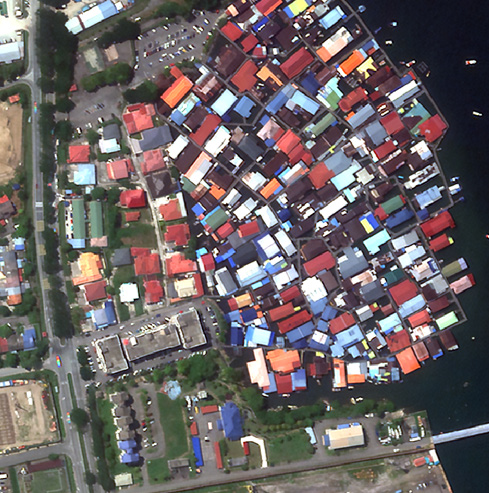
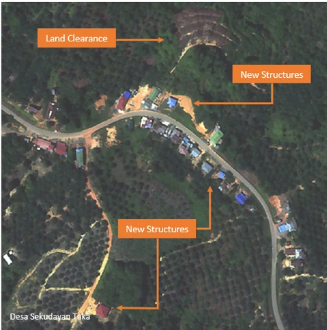
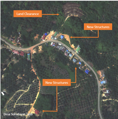
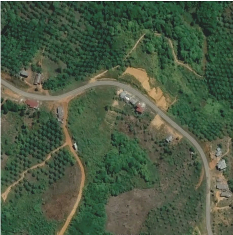
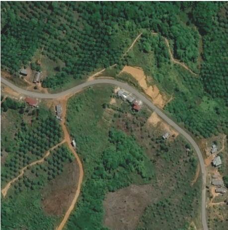
- Nunukan, Kalimantan Utara, Indonesia: Google Earth imagery dated March 27, 2019, compared with multispectral imagery dated September 28, 2024.
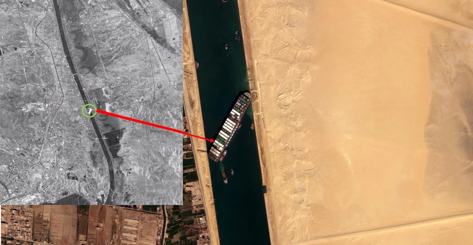
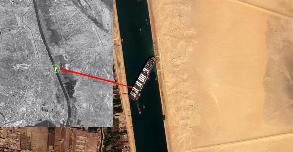
- Container ship Evergreen stuck in the Suez Canal.
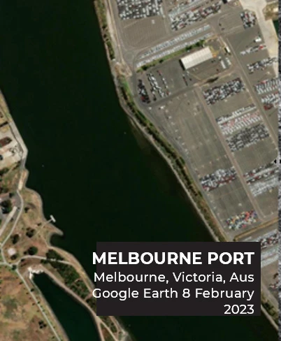
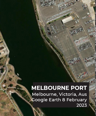
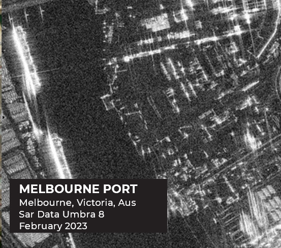
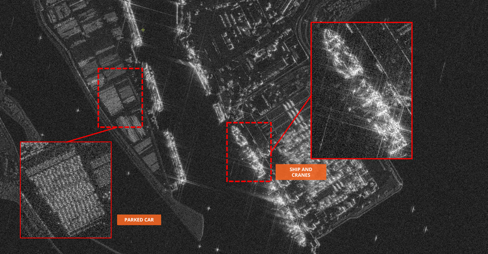
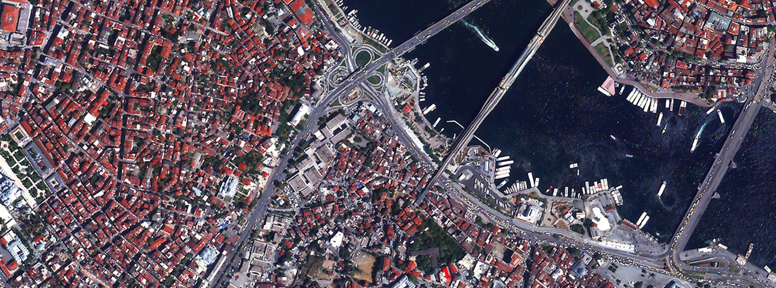
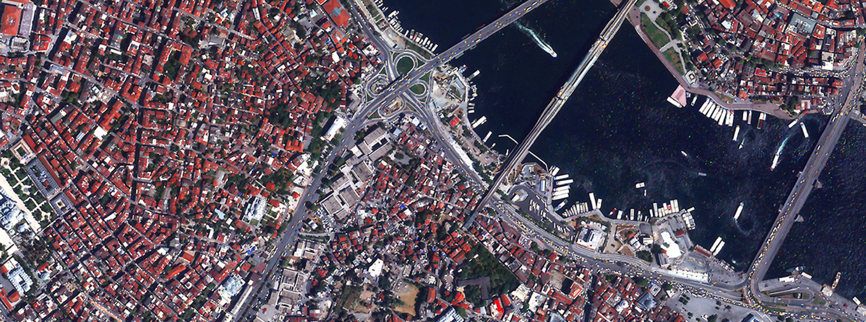
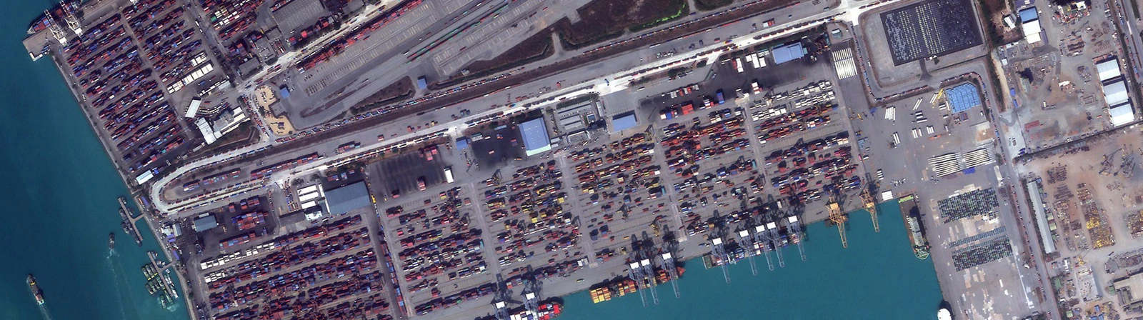
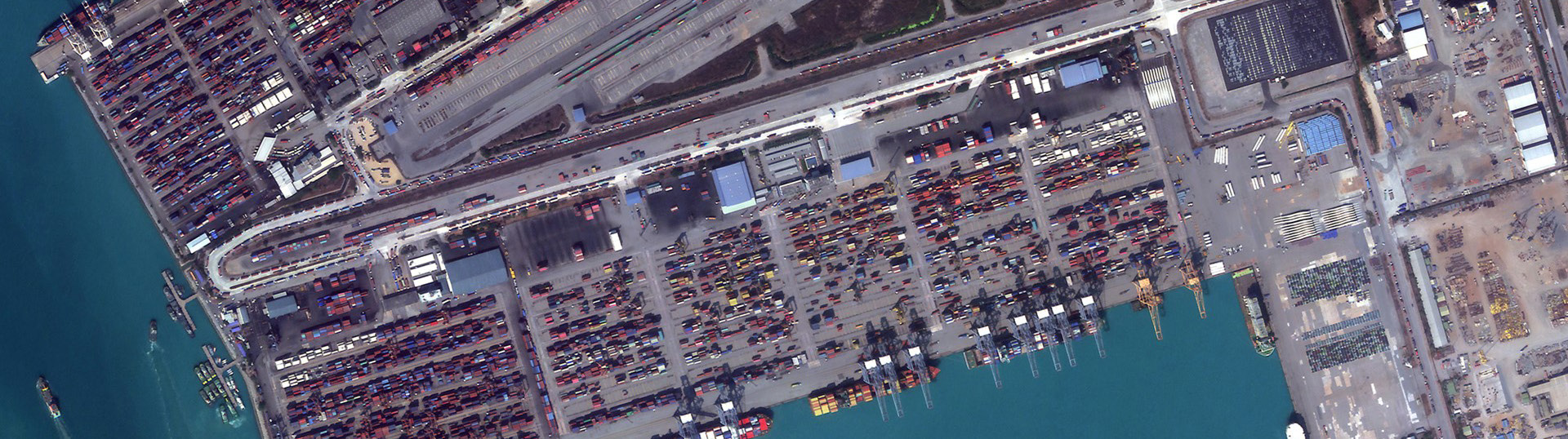
- Port, vessel and coastal monitoring examples, including Melbourne Port.
Every image on this page (9)
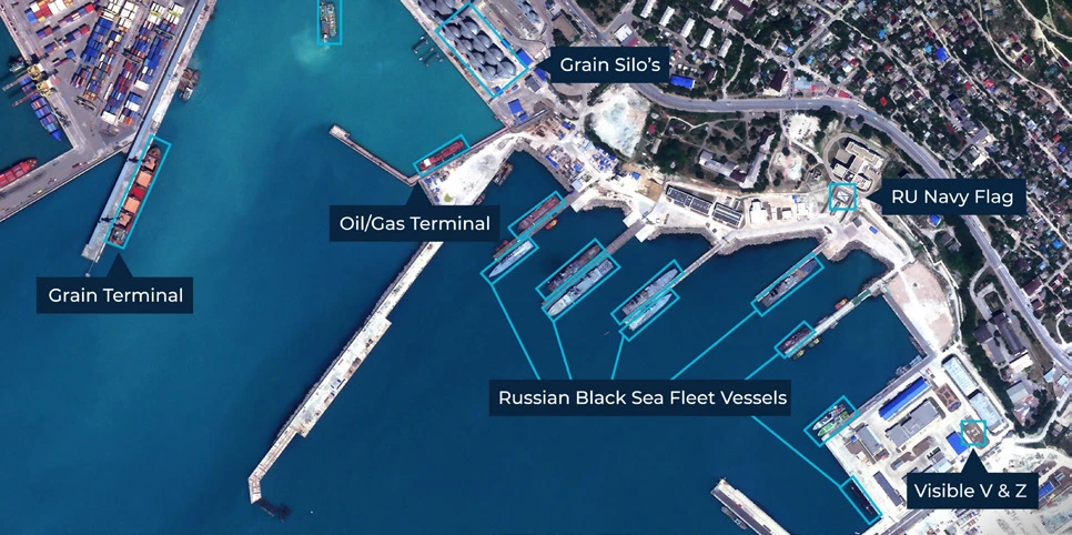
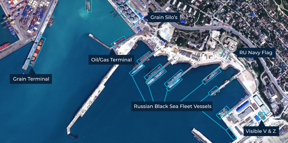
Read the source text from this page
COMMAND THE SEA FROM SPACE. FORTIFY THE DEFENSE WITH UZMASAT-1
Modern defense and maritime security require real-time data, strategic foresight, and technological precision. By leveraging geospatial intelligence, remote sensing and high resolution satellite imagery from UzmaSAT-1, we support maritime domain awareness, coastal defense and strategic operations.
We provide defense forces, naval commands and coast guard agencies with space-based actionable intelligence to enhance surveillance, border protection and maritime awareness.
KEY FEATURES & BENEFITS
Satellite-Based Surveillance and Intelligence
Monitor vast marine areas for vessel movement and border activities using high-resolution optical and SAR imagery, enabling effective asset tracking and situational awareness.
Detect changes and activities across wide areas, or conduct regular monitoring of specific sites to analyse patterns of life and operational trends.
Enhanced Situational Awareness
Real-time tracking of maritime traffic and national borders, including suspicious, non-registered vessels and unauthorized development
Disaster & SAR Response
Quickly assess and respond to oil spills, vessel accidents or natural disasters
National Security Support
Support national military base surveillance, troop deployment planning, and coastal infrastructure defense
DEFENSE & MARITIME
Google Earth Imagery: Mar 27, 2019
Location: Nunukan, Kalimantan Utara, Indonesia
Multispectral Imagery: Sep 28, 2024 Container Ship Evergreen Stuck in Suez Canal
Page 11 of 12
Uzma Digital Earth platform
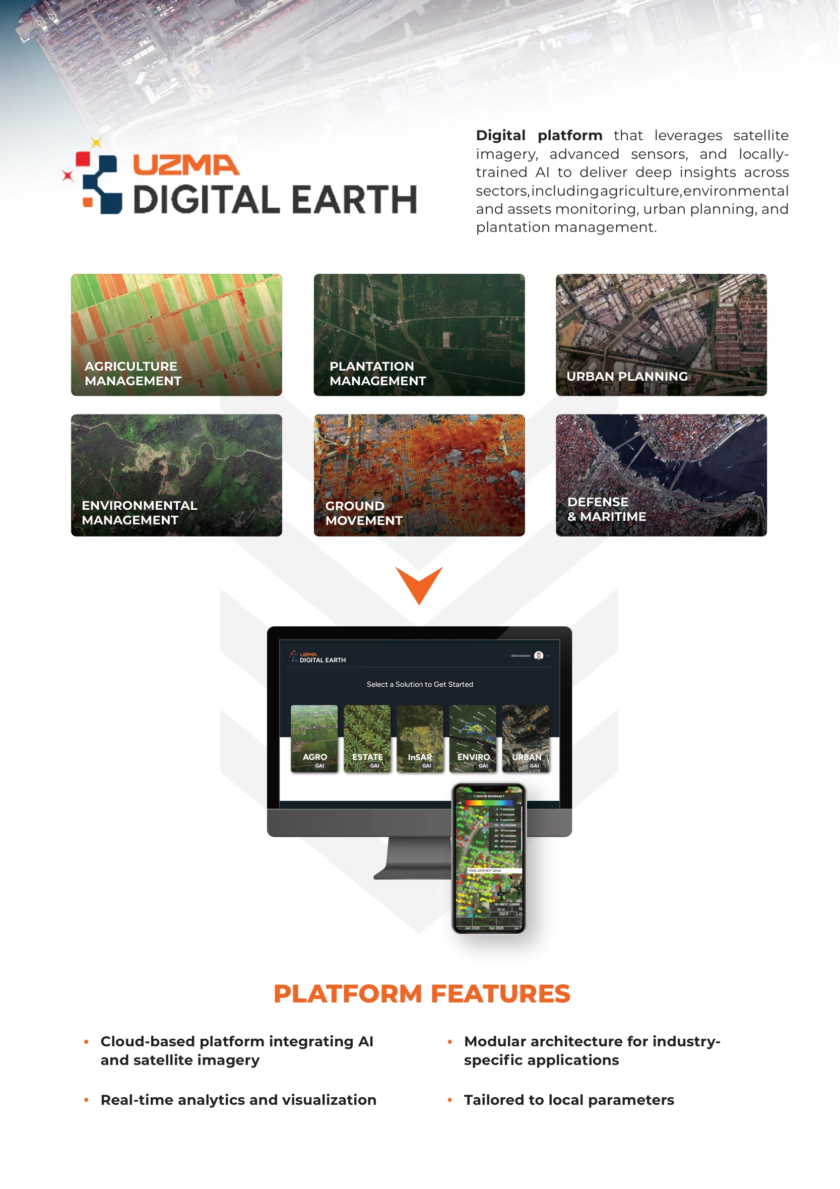
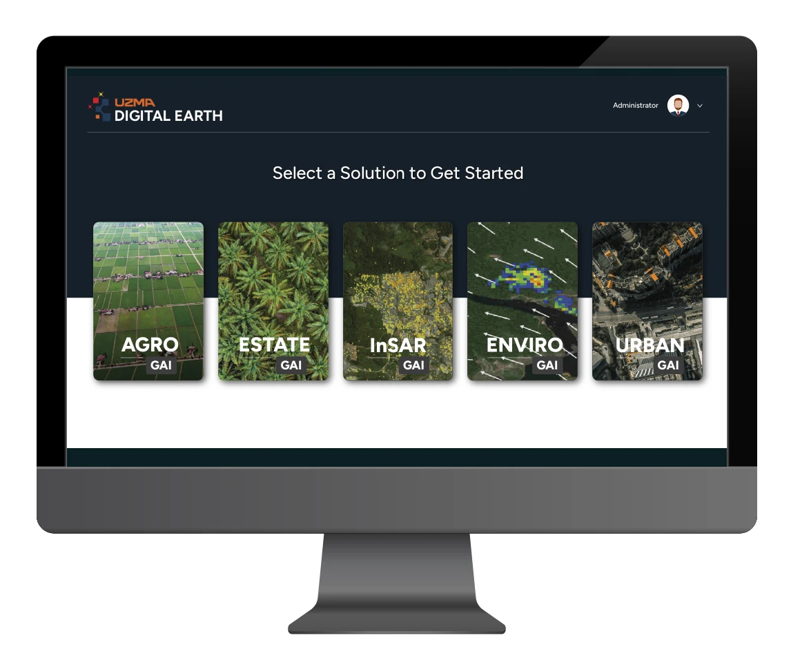
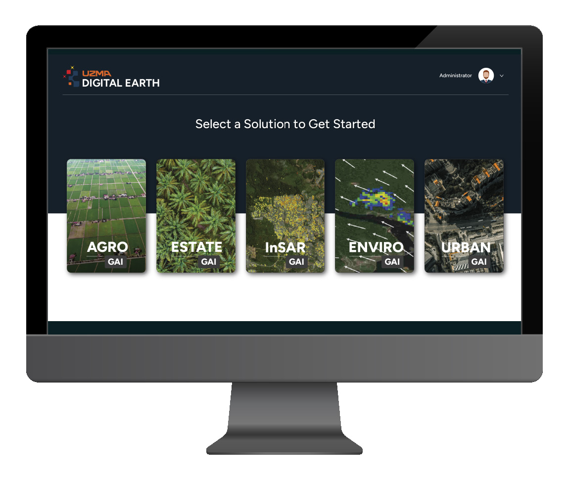
Uzma Digital Earth connects imagery, sensors and locally trained AI.
One platform. Many perspectives.
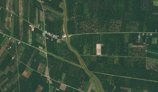
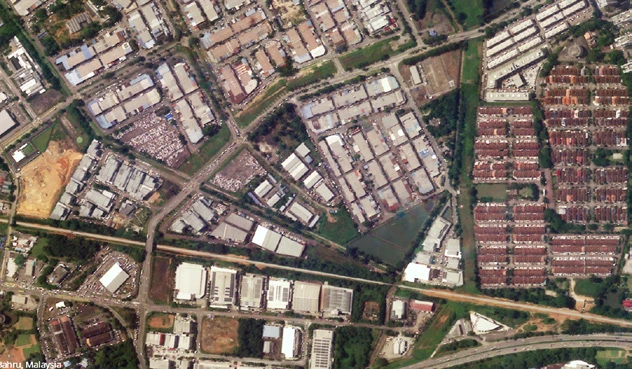
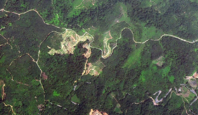
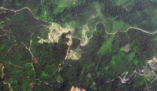
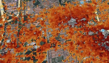
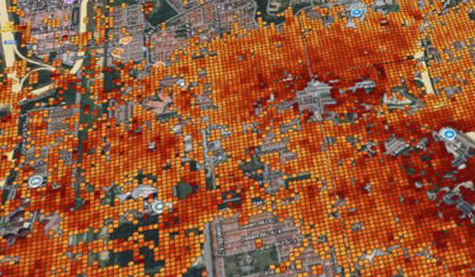
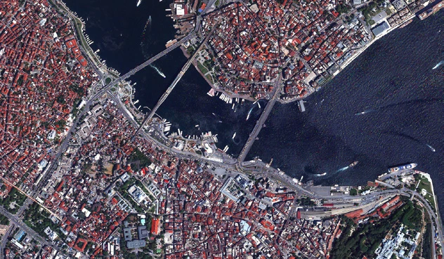
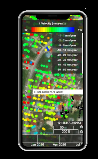
A digital platform using satellite imagery, advanced sensors and locally trained AI to deliver insights across agriculture, environmental and asset monitoring, urban planning and plantation management.
Platform features
- Cloud-based platform integrating AI and satellite imagery.
- Tailored to local parameters.
- Real-time analytics and visualisation.
- Modular architecture for industry-specific applications.
Applications shown in the brochure
- Agriculture management
- Plantation management
- Urban planning
- Environmental management
- Ground movement
- Defense & maritime
Every image on this page (12)




Read the source text from this page
Digital platform that leverages satellite imagery, advanced sensors, and locally- trained AI to deliver deep insights across sectors, including agriculture, environmental and assets monitoring, urban planning, and plantation management.
PLATFORM FEATURES
Cloud-based platform integrating AI and satellite imagery
Tailored to local parameters Real-time analytics and visualization
Modular architecture for industry- specific applications
AGRICULTURE MANAGEMENT
PLANTATION MANAGEMENT
URBAN PLANNING
ENVIRONMENTAL MANAGEMENT
GROUND MOVEMENT
DEFENSE & MARITIME
Page 12 of 12
Connect with Geospatial AI
Want to reach us fast? Scan the QR code in the brochure.
Geospatial AI — an Uzma company
The complete contact page and its original QR code are preserved below. You can also reach the team through the website’s contact and appointment options.
Every image on this page (5)





Read the source text from this page
WANT TO REACH US FAST?
SCAN HERE
Every page above is reproduced from the Geospatial AI capability brochure (2026). Download the complete PDF.